
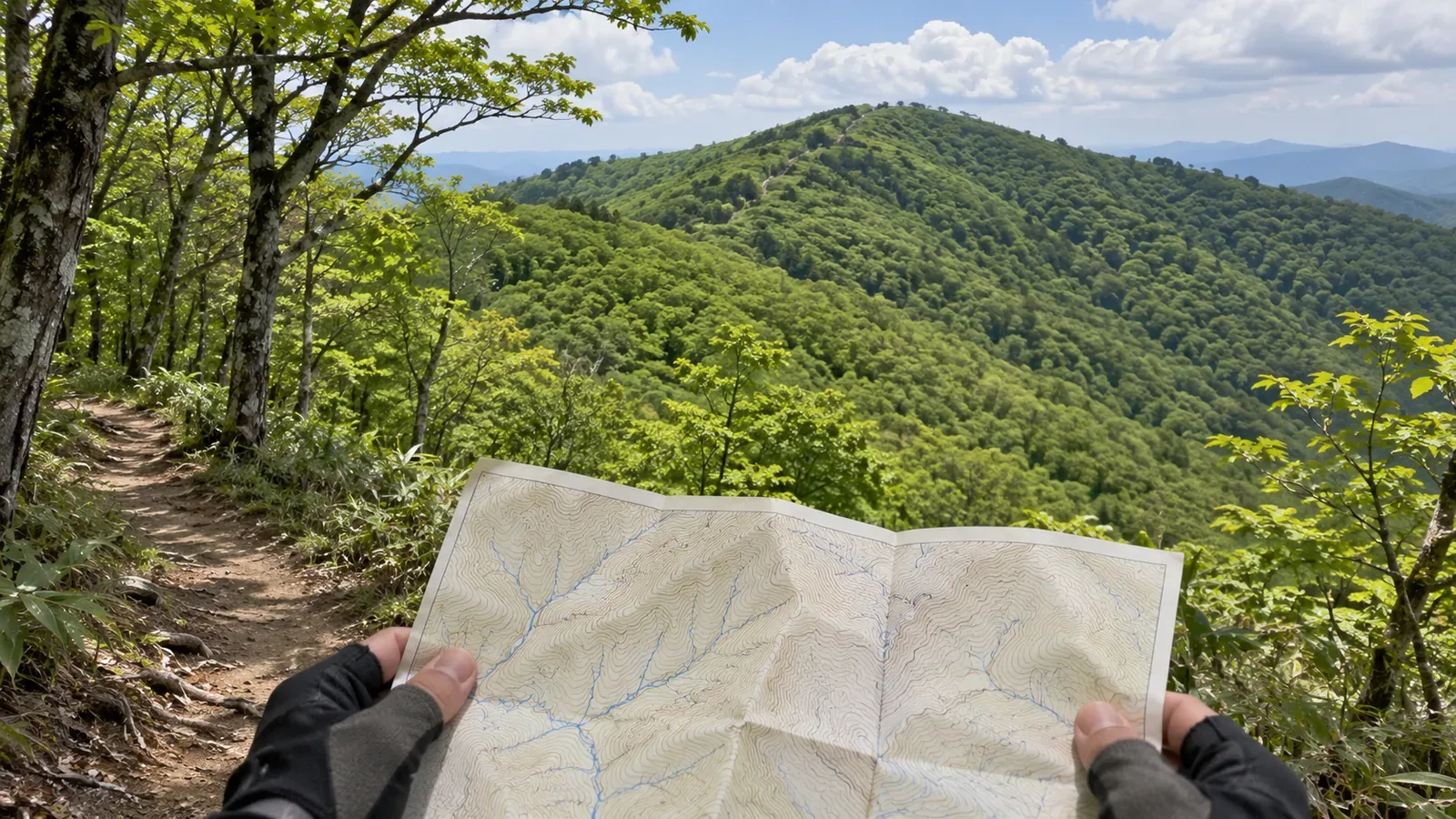
You can make out a ridge on the map, but there’s no trail line. Before assuming there’s a path, write down what you haven’t confirmed. We consulted examples of map updates and public access notices on October 28, 2026 to show which sources you can check before setting out.
A missing trail line leaves the reason open
In 2018, the Chubu Regional Survey Department of the Geospatial Information Authority of Japan worked with the Kasugai Fire Department to survey trails around Mount Miroku. Between March 2 and April 16, the team identified trails missing from the GSI Maps of the time. The agency corrected the map data and published the changes.
The survey shows how fieldwork can change the map. In another area, a missing line could have several explanations. The trail might be disused, closed, left out of the map or absent altogether. The Mount Miroku example cannot resolve which applies.
We suggest starting with three observations: “I can trace the ridge,” “I can’t find a trail marked,” and “the trail’s existence and management status are unverified.” Keeping observations and guesses apart helps you avoid treating a landform as evidence of a trail or adding it as a descent option.
Leave the unverified section out of your plan while you check maps and management information. A visit to look for tread marks would put you on terrain you haven’t yet established you can use. At the same time, see whether you can plan a known route that you can describe from start to finish.
Check map coverage and access separately
On June 28, 2018, the Geospatial Information Authority of Japan announced that it had updated major hiking trails in the Japanese Alps and on Yakushima using data including hikers’ recorded tracks. It also said that big data alone made it difficult to judge whether trails were disused or how they related to mountain huts. It was working with the Japanese Alpine Club to obtain firsthand information.
A collection of recorded tracks and a check of the trail’s current condition tell you different things. The 2018 release describes map changes at that time. To learn what a service covers today or how often it updates, consult its current information.
When comparing maps, match the precise section using the trailhead, junctions, ridge location and compass direction, as well as the mountain name. If the trail lines differ, record which maps you used, when you consulted them and where the difference appears. Keep the discrepancy in a form you can describe when looking for more information.
Prepare two questions: what does the map represent here, and is passage currently allowed? A response about a map line only answers the first question. Find current contacts through official channels, since names and contact details in old notices may have changed.
Identify who looks after the exact section of trail
An example is the April 9, 2026 closure notice for Mount Tenjo from the Ministry of the Environment’s Kanto Regional Environment Office. It says that the ministry develops and manages the Shiroshima trail at and above the 6th station and the Kuroshima trail at and above the 1st station. Kozushima Village handles routine maintenance.
The notice also gives a contact for questions about its contents. Check the sections each organization covers and the contact listed in the notice. That helps you decide who to ask about a specific part of the trail. Responsibility on other mountains, including in national parks, may be assigned differently.
The Mount Tenjo notice illustrates how to identify which sections an organization manages. For the current detour or the reason a map omits a trail, check separately. On another mountain, look for the right contact in public information specific to that area.
If you prepare an inquiry, give more than “this ridge on Mount X.” Include the planned trailhead, destination, junctions in between and the location you found on the map. Ask separately whether there is a trail, who is responsible for it and whether there are current restrictions. Clarify what the organization can answer and record any remaining questions.
Match the section and the date even on an official page
Nasushiobara’s Hiking Trail Closures in the Shiobara District page is where the city posts closures for the area. The June 1, 2026 update listed a closure on the Shiobara Gorge Trail near the Saruiwa parking area from around May 11 to around October 30 that year.
October 30 was the approximate end of the stated period. Confirm separately whether the trail opened on October 31, and note that the notice concerns the gorge trail. The example shows why you should match the exact section, the nature of the restriction and the dates before applying a notice to the route you plan to walk.
The city’s page also directs readers to updates from the Shiobara Onsen Visitor Center and Tochigi Prefecture’s information on mountain trails and footpaths. Check the section and date on each linked page you use. We consulted the city’s listing for this example and leave the full collection of linked documents and maps for separate review.
We suggest keeping five entries: source, section, publication or update date, period of application, and the answers you obtained and questions still open. Add the day you consulted the information so you can spot changes when you check it again before leaving.
If sources disagree, note where they differ in section or date and follow up. If the planned route still can’t be verified, replan without using the unconfirmed ridge. A few confirmed facts about your actual route can be more useful than a stack of information about the area.
In brief: a missing trail line calls for several checks
If no trail is drawn along a ridge, check the terrain, the map’s depiction of trails, who manages the section and current access as separate questions. The map updates illustrate why the line alone can’t establish conditions or prove there’s a trail on another ridge.
Match the section and date, then check official management information and the contact points it provides. Keep uncertain sections marked as such and plan a route that leaves them out until you can confirm there is a trail and that you can use it.
References and sources
- Geospatial Information Authority of Japan, Chubu Regional Survey Department, A joint survey of hiking trails around Mount Miroku, 2018 fieldwork
- Geospatial Information Authority of Japan, Big Data Contributes to Safer Mountain Climbing, released June 28, 2018
- Ministry of the Environment, Kanto Regional Environment Office, Partial trail closure near the summit of Mount Tenjo on Kozushima, notice of April 9, 2026
- City of Nasushiobara, Hiking trail closures in the Shiobara district, updated June 1, 2026, consulted October 28