
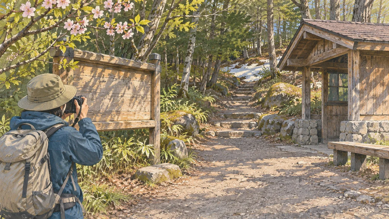
Take a little more time to look around a trailhead you often visit. Photographs and notes from the same spot may reveal seasonal changes or changes to a noticeboard and the area around the path. To compare visits, record the viewpoint and date, and keep what you can see separate from what you might guess.
Choose a spot and framing you can return to
Choose a place you can stop safely on a publicly accessible path or at a public facility. Keep entrances to homes and work areas clear and get permission before entering private land. If weather or traffic makes the spot unsafe on a particular day, skip the photo and record why.
Decide what you want to compare. A noticeboard, the start of the trail and nearby trees each call for a different frame. Note landmarks on the ground, the direction of the camera and where buildings or mountains appear in the frame so you can find a similar view next time. Remember that the landmarks themselves can change.
Japan’s Ministry of the Environment lists visual observation and landscape photography from fixed points among the methods for tracking changes in terrain and vegetation. At a trailhead, choose your viewpoint once you know what you’re comparing. A photo of a replacement noticeboard needs different framing from a record of plants along the trail edge.
Record the time and conditions with each photo
Record the date, time, where you stood, the direction, the weather and what you saw for each photograph. Conditions will vary between visits. Note differences in light, snow cover or the area in the frame. Add dates to the filenames or to a table to make the sequence easy to follow.
If you spot a change, check the frame and camera position before concluding that a noticeboard has gone. Something outside the frame might still be there. Write down what you saw separately from what the managing authority confirmed.
Japan’s Ministry of the Environment describes how to keep the camera pointed in the same direction across survey years in its wetland survey manual. At a trailhead, choose reference points at both edges of the frame to help match the composition. Note changes to the lens or zoom so that something appearing larger in the frame doesn’t get mistaken for actual growth.
Check with the managing authority for information that can change
A closure or facility notice in a photo was recorded on the day of the visit. Ishikawa Prefecture says its Mount Hakusan hiking page is updated as reports come in and may be out of date. Check the manager’s current notices before leaving to find out whether you can use the trail.
When you find a new notice, record the section it covers, the publisher and the date and time, and link it to the photo. If you can’t read some of it, check the official page or look up a contact. Keep the record of changes at the trailhead separate from the check of whether you can pass that day.
When you give maps or photos to fellow hikers, include the date of the visit and the area you saw. Explain any marks you added in a legend. An unmarked spot carries no guarantee of safety.
Consider the people and places in the frame
Residents, hikers and workers all pass through trailheads. If faces, vehicles, houses or nameplates are in view, consider taking the picture and sharing it separately. Japan’s Personal Information Protection Commission warns that photographs can contain other people’s information and location data. Leave out information you don’t need to publish.
Keep the path clear and stay out of restricted areas, even if that means you can’t repeat the photograph. Missed visits are part of the record. Put safety and the manager’s instructions first, and choose a way to continue on another day.
For a published series, keep the originals and the versions you share separate. In the versions for sharing, check for faces and nameplates as well as location metadata. Include only the location details you need for the record and keep a note of any edits made for publication.
Recap: record the same place, including differences in the conditions
If you couldn’t take a photo, record why. That helps you understand gaps in the series later.
When comparing fixed-point trailhead photos, keep track of position, date and conditions. Stick to what the photographs show, confirm access with the managing authority and respect the people who live and pass through there.
References and sources
- Japan’s Ministry of the Environment: list of monitoring methods
- Biodiversity Center of Japan: Monitoring Sites 1000 wetland survey manual
- Ishikawa Prefecture: Mount Hakusan facilities and trail conditions
- Personal Information Protection Commission of Japan: examples and precautions for handling personal information