
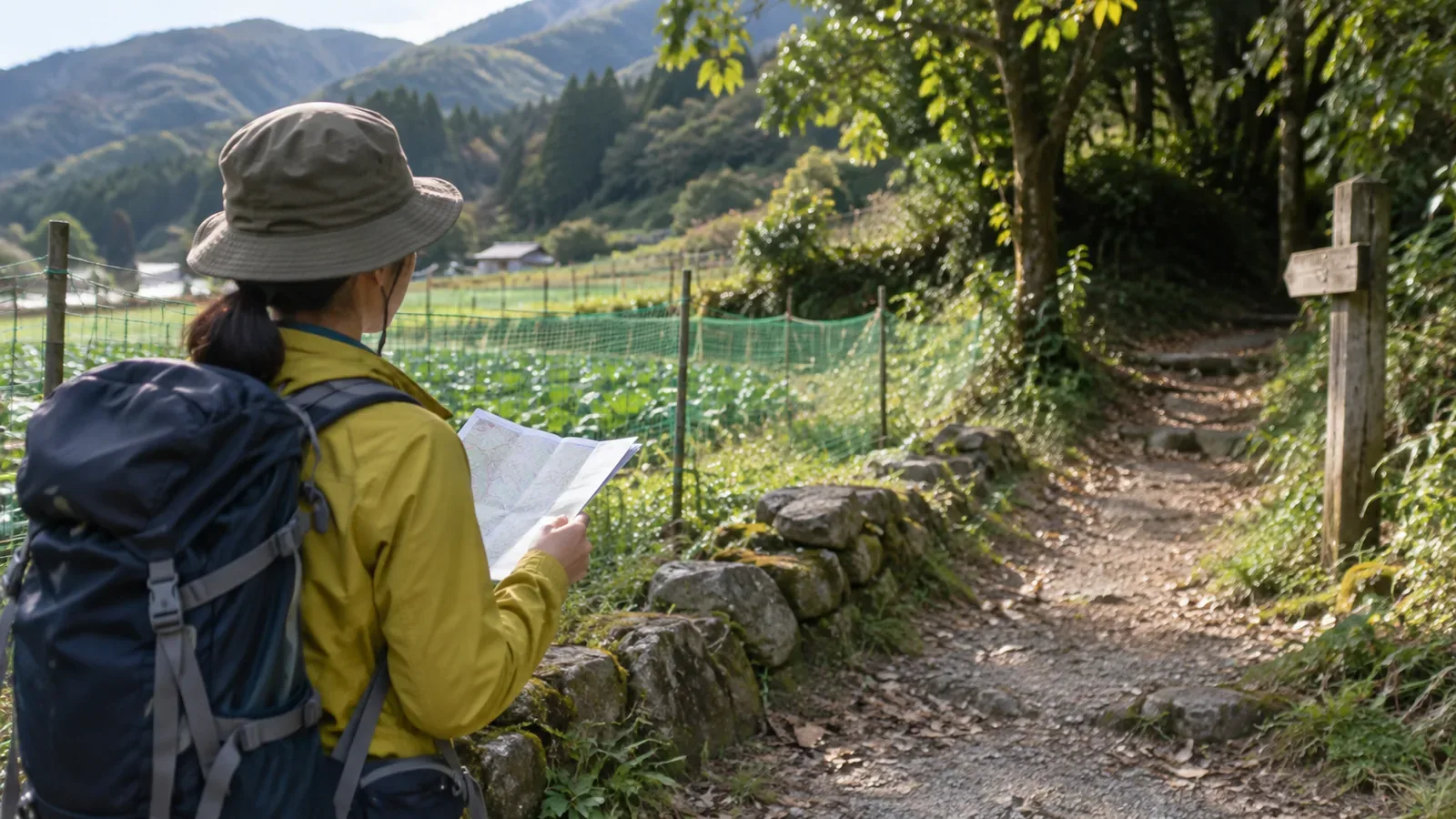
Even if the map makes the trailhead look close across a field, take a route where access is allowed. Fields and farm roads are part of local work and daily life. Check how to get from the station or car park to the trailhead and include that time in your itinerary.
Check the entire route to the trailhead
Mark your route from the station, bus stop or car park to the trailhead. Check sections near villages and fields as well as the trail entrance, and choose the route in the official guidance. If entrances or junctions look similar, share their names and locations with your group.
Japan’s national mapping authority uses the footpath symbol for paths under one metre wide, including ones used for hiking and sightseeing or connecting villages. Check local signs or the land manager’s guidance separately to find out whether you can use the path.
A shortcut in an old trip report may no longer be open. Farming, land use or closures can change, so check current information from the local authority or trail manager. If you still have questions, give the location and date when you ask.
Give farmers and farm traffic room
Gaps wide enough to walk through and harvested ground with no crops visible are still managed farmland. If you cannot confirm access, stay out and return to the indicated route.
Farm roads are also used by farm workers and vehicles. On a road you can use, give vehicles room and leave supplies and field entrances clear. At a fence or gate, read the signs and stay outside if you cannot confirm access.
The town of Biei in Hokkaido asks visitors to stay out of farmland even where there are no signs and to keep field entrances clear when parking. It also warns that soil on shoes can carry pathogens and pests into fields. Watch the scenery or take photos from an open road or designated spot.
If you are unsure, go back to a place you recognise
If you cannot find the trailhead and several paths run between fields, stop somewhere safe and check your map against the directions. Make sure your group knows where you are. If the route is still unclear, avoid going farther. Keep the option of going back to a known point even if there is no phone signal.
When asking for directions, give the name of the trailhead and show it on a map. If someone is working, wait for a break before asking. If access is still uncertain, check with the land manager or local authority.
If getting to the trailhead takes longer than expected, review the rest of your hike and transport back. Switch to a shorter route with confirmed access or come back another day if necessary.
Find out who manages each section and what access is allowed
The Ministry of the Environment explains that park areas are designated regardless of ownership, so they may include private land and fields. Check who manages the specific path and what access conditions apply.
The Forestry Agency’s national forest guide describes places used for hiking and the rules for entry notifications. For farmland and other properties, consult the manager responsible for that land.
If you share directions later, include the manager’s guidance and the date you checked it. Say where you could not confirm access.
In short — Use an open road around the fields
Even if the trailhead looks close, stay out of fields and use a road where access is allowed. Check signs and the manager’s conditions at farm roads and gates.
If you lose the route, return to a place you can identify and choose a route that leaves room for local work and daily life.
References and sources
- Geospatial Information Authority of Japan — Footpath map symbol
- Ministry of the Environment — The purpose and role of Japan’s national parks
- Forestry Agency, Kanto Regional Forest Office — Guide to entering national forests
- Town of Biei, Hokkaido — Photography rules
- Town of Biei, Hokkaido — Visitor information and guidance