
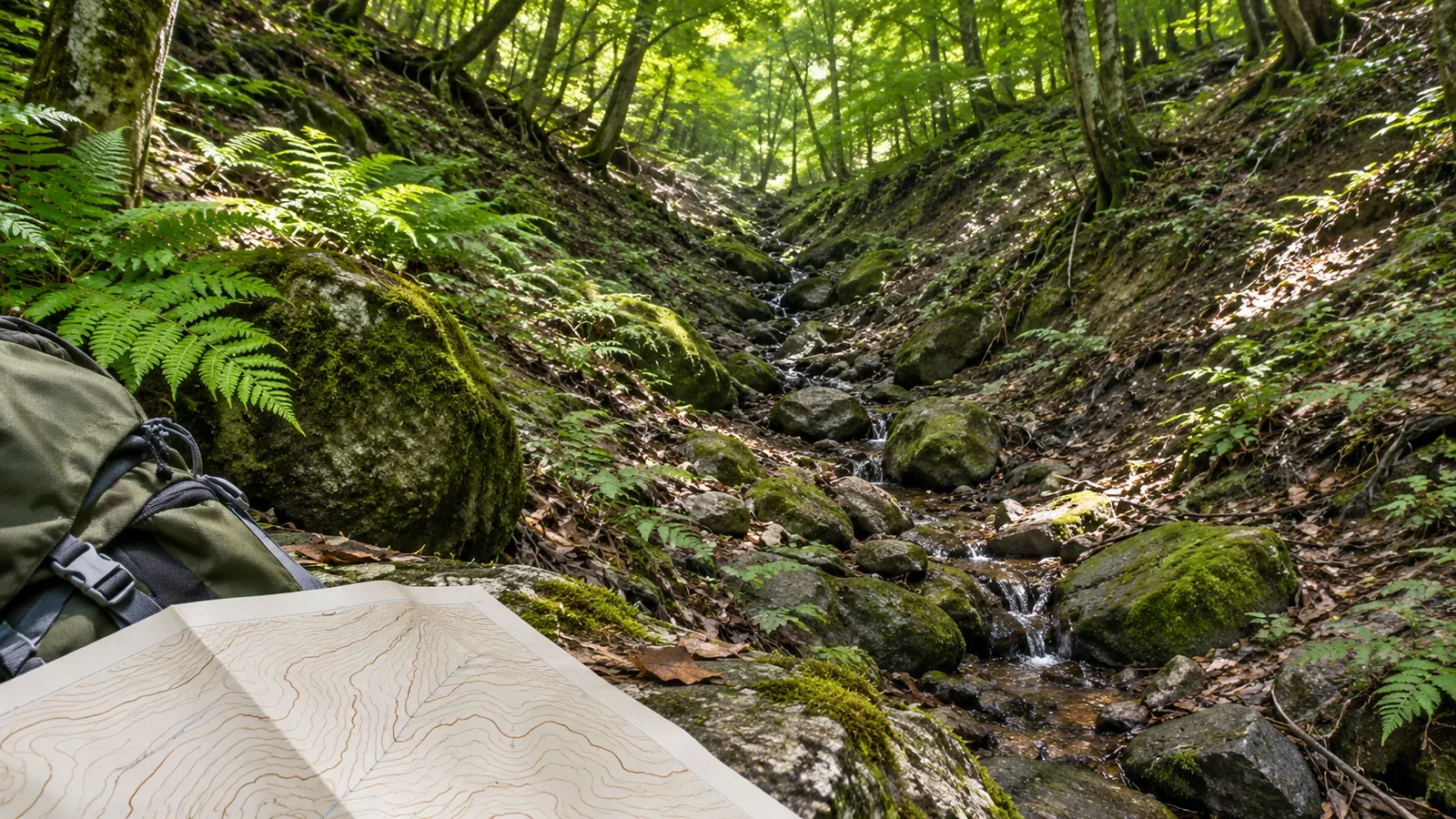
A blank space on a map tells you little about how much water a valley may carry. Drawing on Japan’s Geospatial Information Authority (GSI) mapping standards and map-reading materials and the Japan Meteorological Agency’s (JMA) guidance on sudden rises, consulted on October 28, 2026, we look at terrain, map symbols and conditions on the day. The aim is to keep unknowns visible in your plan rather than predict water levels from the map.
A valley can be visible without a stream line
A valley can show up on a topographic map even when there is no blue stream line. The GSI map-reading guide explains that a valley may contain a stream symbol. When looking for a valley, read the shape of the contours as well as looking for water lines. Recognizing a hollow in the terrain and identifying a mapped waterway are separate steps.
The same guide notes that contours often form a sharp indentation at a valley and are more rounded at a ridge. Use the shape as a clue, then compare the neighboring contours and their elevations before deciding. Mark anything you cannot identify as a possible valley. Spotting a valley shape does not reveal a trail that leads down to the stream.
A valley without a stream line could be dry or carry water. We did not find a source that establishes the flow in every unmarked valley or gives a universal threshold for omitting small streams. The shape of the terrain cannot tell you whether water is flowing that day or how much. Keep unknown conditions open when you assess whether a section will be dry or passable.
Read river and intermittent-channel symbols by what they represent
The 1:25,000 display standards include sections that can run dry within the general category of waterways. They divide perennial rivers and streams into single- and double-line categories and use a different symbol for sections without water at certain times. Identify the symbol as well as looking for a water line.
For an intermittent channel drawn with one line, the dashed line follows its center. In the two-line version, dashes trace the water’s edge. GSI’s guide describes the two forms according to the waterways they connect to, and explains the use of sand and gravel symbols in and around the channel. The symbol indicates a channel that can run dry at certain times and may carry water at others.
The same standard calls for an intermittent section less than 1 cm long on the map to be shown as a river instead of as an intermittent channel. The rule changes the symbol without removing the water line entirely. It does not imply that all short streams are omitted or that a solid line guarantees flowing water today. Map categories cannot replace a current observation.
Rain can follow terrain without a river symbol
GSI uses an erosion-gully symbol for a small valley-shaped feature cut into the ground by rainwater runoff. That is one example of a map symbol for terrain shaped by water, as distinct from a river symbol. Many valleys are other kinds of landforms, and the lack of a gully symbol tells you little about where rainwater might flow.
To see how water conditions could change on the day, check weather information separately. JMA explains that heavy rain upstream can cause a sudden rise and lead to incidents downstream, even where there is no heavy rain. A dry trail or clear sky where you are leaves conditions upstream unchecked.
JMA notes that small and medium-sized rivers can rise within about ten minutes after heavy rain begins. Its explanation of localized heavy rain also notes that rapidly rising rivers or drainage channels can cause serious incidents even in conditions that do not trigger a heavy rain advisory or warning. The example illustrates how fast conditions can change. Neither the absence of a warning nor a ten-minute window should be used to decide it is safe to wait.
Separate terrain, map symbols and current reports in your notes
Here is our suggested method. Give your route notes three columns: possible valleys identified from contours, water-related symbols, and the weather and access information you checked. In the first column, record where each valley shape is relative to the route. In the second, note whether you found a river, intermittent-channel or erosion-gully symbol. If you find none, write “no symbol identified” and leave the water level unknown.
Imagine that no stream line is visible, but the contours turn inward in a valley shape farther along the trail. This is a fictional example. Write “possible valley, flow unknown, check current information for this section.” Leave it off your list of confirmed rest stops or water sources. This map-reading exercise gives you no reason to enter the valley in search of unmarked water.
In the third column, note the area covered, the date, the time of issue or update and which section the information applies to. A photo of another stream or an old trip report leaves current conditions unknown. Check access restrictions from local authorities or land managers and the latest forecast, advisories and warnings. Decide whether to change or call off the hike before entering a hazardous valley.
Do not wait in the valley to see whether the water rises. Stop in a stable place to check your map. Stay out of a streambed that merely looks dry and do not cross rising water to check conditions. Identifying a possible valley at home does not establish a safe way through or a reliable way out.
Leave the water conditions open where the map is blank
The valley shape, the water-related symbols and the day’s flow are three things to check. Identify possible valleys from the contours, interpret any river, intermittent-channel or erosion-gully symbols, and check rainfall information separately, including for the upstream area.
A blank map, an intermittent-channel symbol or sunshine where you stand cannot rule out a sudden rise. If the information you have leaves the water level or access unclear, keep it marked as unknown in your plan.
References and sources
- Geospatial Information Authority of Japan (GSI): 2013 Topographic Map Display Standards at 1:25,000 (including the March 30, 2026 amendment, Articles 16 and 19)
- GSI: Map Symbols — Intermittent Channels
- GSI: Understanding 1:25,000 Topographic Maps, Part 4
- GSI: Map Symbols — Erosion Gullies
- Japan Meteorological Agency (JMA): Hazards from Sudden Heavy Rain
- JMA: Forecast Terminology — Precipitation (note on localized heavy rain)