
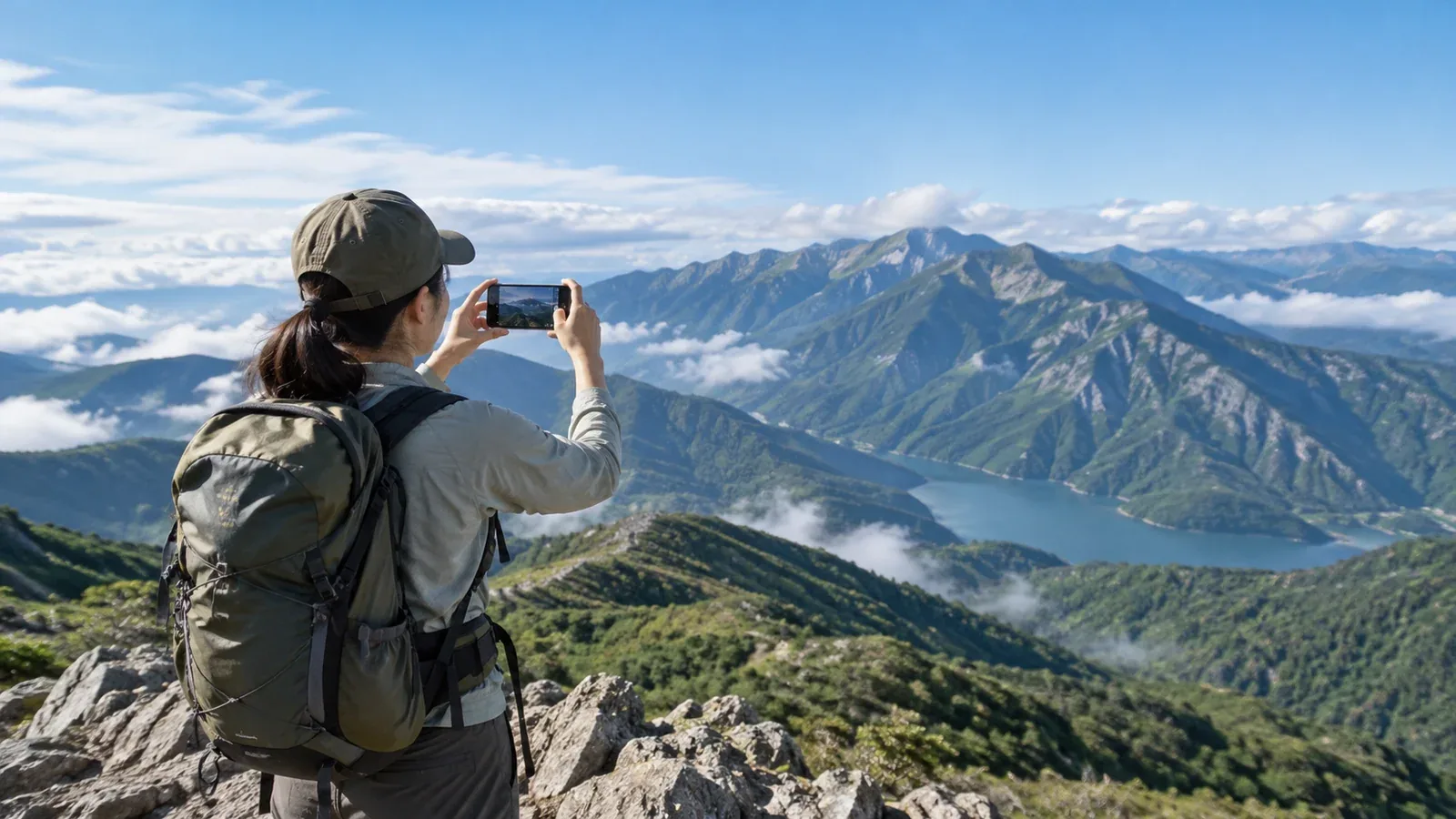
When you share a summit view or show what the trail was like, the photo alone can reveal where you were. Before deciding what to post, look at both the location data and what’s in the background.
Giving the precise location of a rare plant colony, a restricted area or an indistinct route can draw people there or make a closed trail look open. Posting your current location also affects your privacy and that of your companions.
This guide explains how to spot location clues and decide how much to include.
How photos reveal a location
Image files can include capture times and GPS coordinates in metadata such as Exif. Whether the location is shared depends on your device, sharing method and service settings. In iPhone Photos, you can turn off Location under Options on the share screen. In Google Photos, check your sharing settings. If you send the original file another way, also check the location data in that file.
A trail sign, hut name or distinctive ridgeline in the frame can narrow down the location. So can a map or time in the caption. Look at the whole set of photos together and review location tags and comments, too.
Before posting, check the location data on the copy you will share and remove it if needed. The background will still be visible. If it gives the spot away, choose a different photo or crop it so the location is harder to identify.
Details to handle with care
The effects of a post can change with its level of detail and when you share it, even for the same place.
Habitats of rare animals and plants
Exact locations or dates can attract collectors and photographers, and more people may step into the habitat. Mount Norikura’s ecotourism plan asks people to take care when posting the locations and timing of rare-species sightings. If the name of the mountain area is enough to identify the spot, leave it out too.
Access restrictions and closures
If you post about a closed section, date the information and link to the manager’s closure notice or official detour. Leave out directions for bypassing the closure. Conditions can change after the photo was taken, so check for an update before posting.
Off-trail and technical routes
A shared GPS track alone cannot tell you whether an off-trail route is safe to follow. Nagano Prefectural Police warn that routes such as the Kitakama Ridge require technical skill and judgement and can make it hard to call for rescue. If you share your experience, include when you went, what the conditions were and what skills you needed. Think carefully before sharing a location or track.
Live location
A public post with your current location or direction of travel can let strangers follow your group’s movements. Agree in advance how you’ll check in with a trusted contact, and save public posts for after you’re off the mountain.
Three checks before you post
Review the text, photos and route map and ask yourself these questions.
- What could more visitors affect? If there’s a risk of trampling or collection, leave out the exact location and pictures that identify it.
- Could a new reader assume the route is open and suitable to walk? Explain what made a difficult route demanding and limit what you share. For a closure, put the official notice first.
- Does this follow local guidance and respect your companions’ wishes? Follow requests to keep locations private and check with companions who could be identified.
If precise location details could cause a problem, swap the photo, describe the place more generally or hold the post.
Share the experience without giving away the spot
You can convey the view or how the hike felt through details such as the season, weather and trail conditions that do not pinpoint the location.
Choose when to post. Posting after the hike lets you share the trip without disclosing where you are now. If you mention snow or closures, say when you saw those conditions.
Describe the location broadly. Give a wider area, such as a ridge in the Northern Japanese Alps, and check for landmarks or map pins. For rare species, consider whether the region and timing together could identify the spot.
Link to official guidance. Send people looking for access and trail status to the park or local authority’s official information. Date the photo or trip report by month and year when describing conditions.
Choose who can see it. If you need to share your current location or a detailed route, choose the recipients carefully. Even with a limited audience, consider what someone could forward or capture in a screenshot.
Where to check local rules
Photography and access rules vary by place and purpose. Check the official information and contact the appropriate office if you cannot find the answer.
- Regional environment or national park offices for use and photography in national parks.
- Prefectural nature park offices for quasi-national and prefectural nature parks.
- Forestry offices for national forest access procedures and forest road information.
- Huts and visitor centres for trail conditions and local guidance.
When you enquire, give the planned location, timing and purpose of the photography or post. For information about the location of rare species, contact the responsible office directly and keep coordinates out of public comments.
Before your next post
Check location metadata, landmarks in the background, maps, location tags and who can see the post. If you mention access restrictions, check the latest official notice. Ask companions before posting photos that show them or details of their movements.
Other information to check
- Location-sharing settings — official help for your device and the service you post on
- Protection of sensitive species — guidance from the Ministry of the Environment, local authorities and park managers
- Closures and technical route warnings — local authorities, police and trail managers
References and sources
- Apple Support — Manage location metadata in Photos
- Google Photos Help — Location privacy and sharing
- Japan Ministry of the Environment — Mount Norikura ecotourism plan
- Nagano Prefecture and Prefectural Police — Mountain safety guidance for the Kitakama Ridge
- Japan Forestry Agency — Access to national forests