
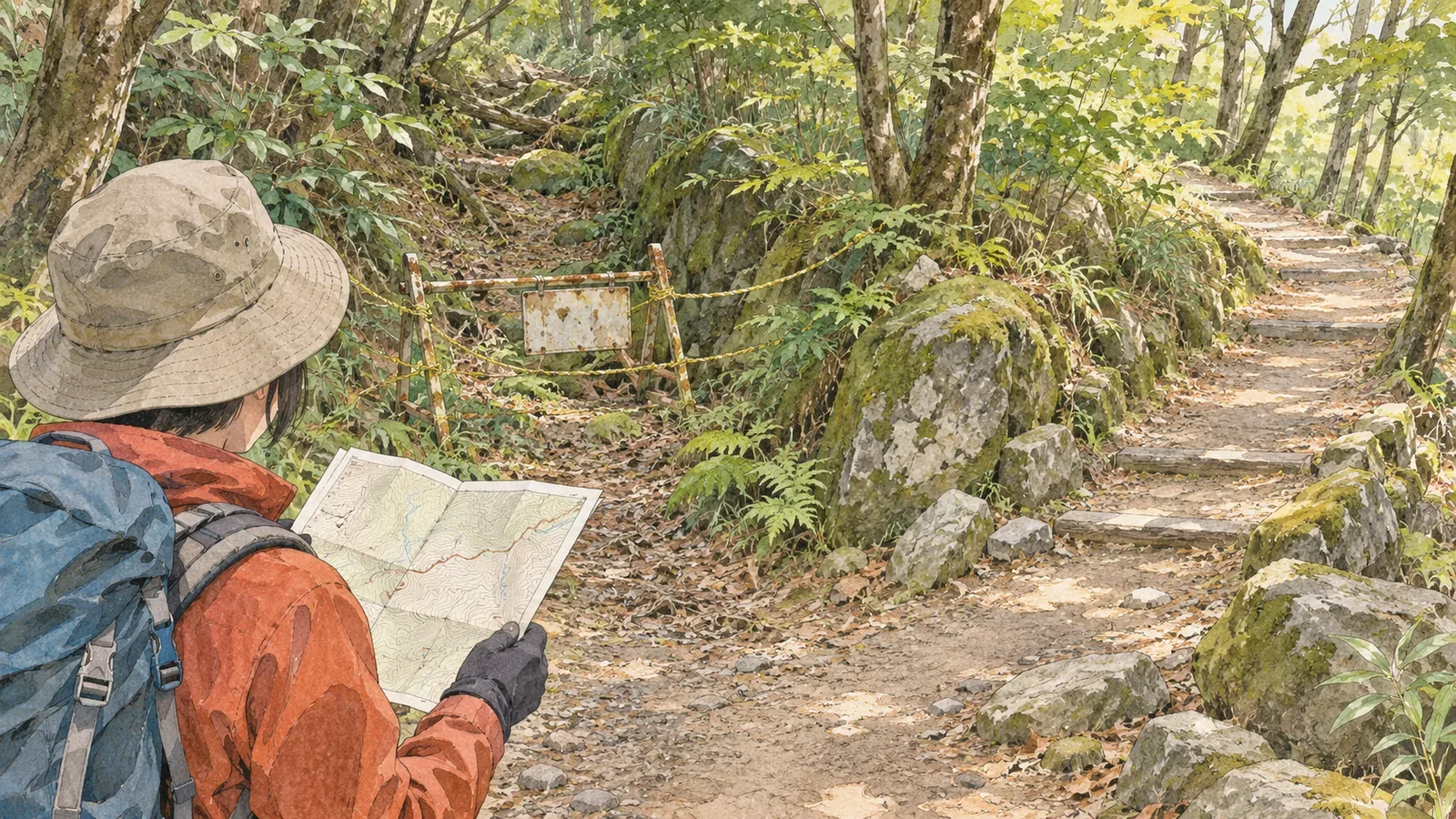
A path shown on a map still needs to be checked for current access. When you find a notice that a trail has been abandoned or closed, check which section it covers and when it was issued. An intact line on a map cannot override the notice. This article shows how to compare a map with current conditions using the trail survey process of the Geospatial Information Authority of Japan, a training manual, and official notices from Tochigi Prefecture and the City of Takayama, checked on October 28, 2026.
Mapped hiking trails reflect surveys and subsequent updates
GSI's page about local trail surveys describes working with local authorities and other groups. GSI updates mapped trail information, and authorities and local organisations update visitor maps and websites. That gives hikers useful sources beyond the map.
The page explains that working groups collect information on abandoned paths, new routes and changes to alignments, then decide which sections need investigation and how to survey them. Field teams record the position and condition of trails, and the group uses the survey to decide which paths to show. Changes on the ground have to be checked before they reach the map.
The page was last updated on March 28, 2019. The examples describe how the project worked. They do not show that hiking trails nationwide are continually inspected or that the map on your screen already reflects a recent landslide or closure.
Once you find a path, trace where the line leads and check what local notices say about that same stretch. Reading the path on the map and checking its current access conditions are two separate steps.
Distinguish a trail taken out of use from a closure lifted on one stretch
Tochigi Prefecture's hiking and footpath information says that the Nasu Nature Study Path between Benten Suspension Bridge and Omaru Park is being taken out of use because boardwalks and other structures have deteriorated. The notice was updated on October 20, 2025. Check the two named endpoints along with the status of the path.
The same item also gives interim directions. Read the closure of the original section separately from the instructions for using another entrance. A different access point does not mean the original section has reopened. Before going, check which area the notice applies to and whether anything has changed since.
The same prefectural page gives a separate update for the Yuhi Falls Trail in Shiobara. On October 28, 2026, it said that the route had reopened up to Sukkan Bridge after repairs for fallen trees and slope collapse. The stretch from Naginata Rock to the Maeyama–Happogahara Trail junction was still closed. This is why a headline announcing a reopening cannot tell you whether the entire trail is passable.
These are two examples from different areas: a trail taken out of use in Nasu and a closure with a partial reopening in Shiobara. Read the status, region, section and date together to avoid combining separate notices and assuming a continuous route is open.
Check current notices even if a forest road still looks wide enough
The City of Takayama's guide to hiking Mount Kuraiyama includes a closure notice for Danadaira Forest Road. After heavy rain on September 9, 2026, the city found that parts of the road shoulder had collapsed. Although some road width remained, the collapse could spread, so the city installed a barricade near the entrance. The reopening date had yet to be determined.
The remaining width did not make this road open to traffic. Check what the authority responsible for the road says before deciding there is enough space to pass based on a map line or a photograph.
The same city page still includes descriptions of the usual hiking routes. A snippet about the loop using the forest road can leave out the closure notice at the top. Read an overview or visitor guide separately from warnings and restrictions issued after damage, even if they are on the same page.
The page was updated on September 11, 2026. Keep the date of the rain, the date of the page update and the day you checked it separate. An undetermined reopening date gives no basis for assuming that the closure must end after a certain time.
Keep a record of what you checked for each planned section
Break the planned route into sections between trailheads, junctions and other identifiable points. Compare each section name with the area covered by the official notice. An update for another trailhead or stream valley on the same mountain leaves your intended route to be checked. This is our editorial team's way of matching the source to the itinerary.
Record the publisher, page title, section covered, date of the update and the day you checked it. Use the terms from the notice: has the trail been taken out of use, closed to passage or partially reopened? These details make it easier to follow up than calling every section old or dangerous.
The Japan Sport Council's manual for high school mountaineering instructors likewise recommends using recent topographic maps, hiking maps and guidebooks and checking whether any mapped paths have since been abandoned. It is useful preparation to distinguish what was mapped from the trail's current status.
The same manual recommends preparing backup plans and ways to turn back alongside the main plan. If you cannot verify your intended trail, look up the section and current status of your alternative before switching lines on the map. Leave unverified paths out of the plan until there is evidence beyond the line on the map.
If sources disagree, check for similarly named sections, older notices or a partial reopening read as a full one. If a question remains, contact the office listed in the notice. Testing whether an abandoned path is usable by entering it is unnecessary.
Match the mapped line to the exact section and recent notices
A trail shown on a map has gone through survey and updating. Local notices are also needed to check whether it is currently usable. Directions to a different entrance do not cancel an abandonment notice, and a partial reopening does not reopen the whole trail.
Match the section names in your plan to those in the notice and record the publisher, dates and what you confirmed. Keep checking the latest information for your route, the way back and your alternatives before judging access from the width of the road or a general trail description.
References and sources
- Geospatial Information Authority of Japan (GSI): Hiking Trail Surveys in Partnership with Local Communities, last updated March 28, 2019
- Tochigi Prefecture: Hiking Trail and Footpath Information, notices for the Nasu Nature Study Path and the Yuhi Falls Trail, consulted October 28, 2026
- City of Takayama: Hiking Mount Kuraiyama (Kuraiyama Koryu Hiroba), updated September 11, 2026, notice of the Danadaira Forest Road closure
- Japan Sport Council: Safe and Enjoyable Mountaineering, a manual for high school mountaineering instructors, Part 2, Chapter 1, printed p. 26