
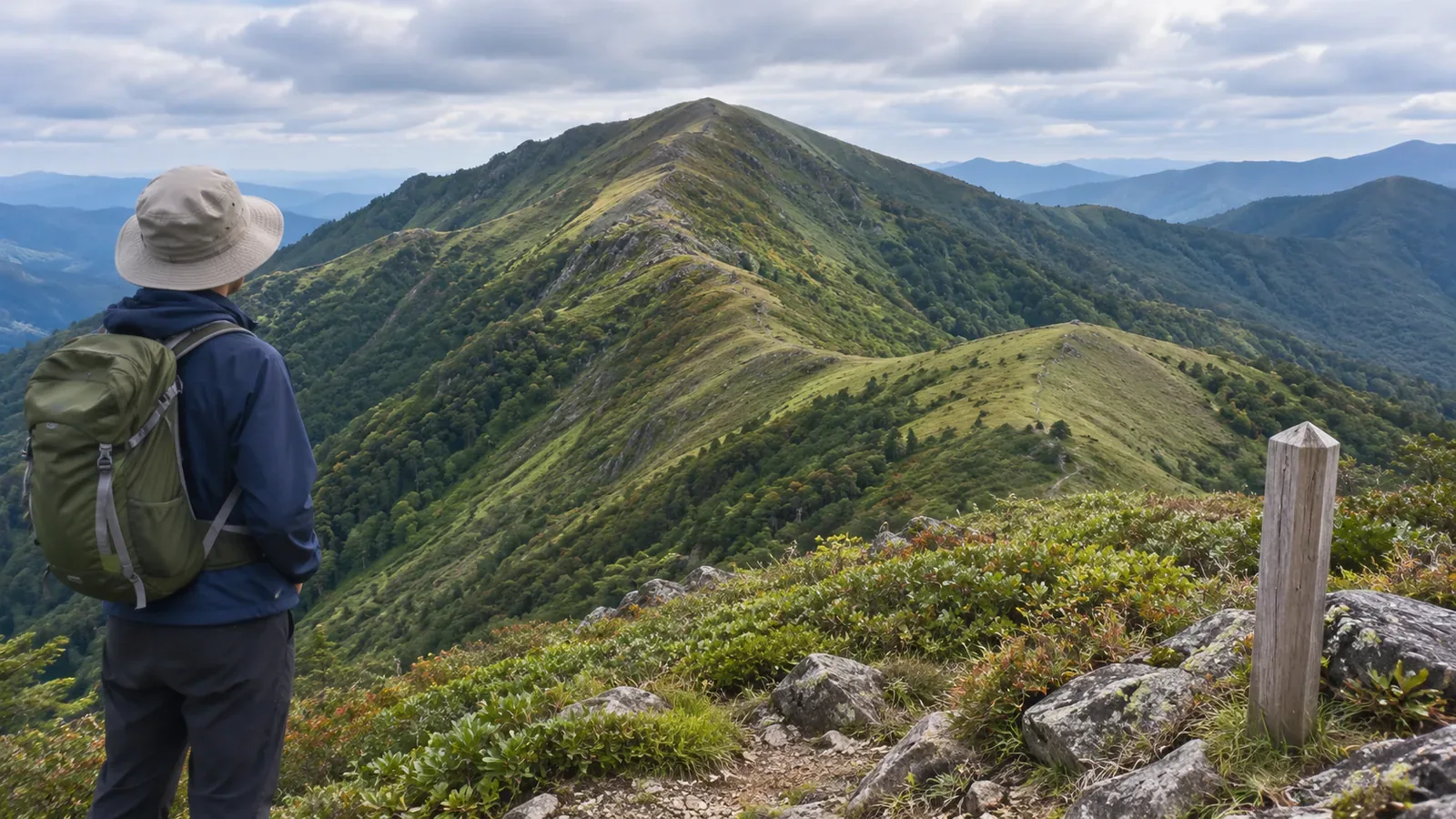
A trail with “valley” in its name must run along the valley floor. “Right ridge” must mean the one on your right. Before using either interpretation, check what the name refers to and how the source uses it. This exercise helps separate a feature’s proper name from a description of the terrain.
Check what a name describes along the trail
Standardizing the Names of Valleys and Ridges on Mount Daisen, published by the Daisen Tourism Guide, gives the example of a route from Motodani Valley to near the 5th station. It explains that the “Gyoja Valley Route” was named the “Gyoja Mountain Trail” because the route does not pass through Gyoja Valley.
Gyoja Valley here is a specific place. The naming explanation leaves open whether other parts of the trail pass through valley terrain or follow a ridge. Consider the word “valley” in the name separately from the terrain the trail crosses in each section.
We suggest noting whether a name refers to the landform itself, a trail or route, or a description of relative position. All three can appear in the same source. Identifying how a name is used helps avoid turning it into directions by itself.
If you see a name such as “X Ridge Route,” check which part of the route the source covers. Trace the trail line separately from the landform. Mark exactly where the trail differs from what its name led you to expect.
On Mount Daisen, left and right depended on the viewpoint
The same notice explains that the two branches of the Misen ridge used to be named in opposite ways depending on the direction of view. The names were standardized as West Ridge and East Ridge. The notice says unclear and mistaken names had been identified as obstacles to accident response and causes of navigation errors, so the association worked with local organizations on a common set of names.
This is how the organizations dealt with names on Mount Daisen. Other areas can have names with different origins, including useful names with “left” or “right.” Check where the source’s observer is looking from and which direction they face.
The attached north-face diagram labels features such as Misen East Ridge and Misen West Ridge on a photograph. The diagram says it does not show hiking routes. Use it to match names to features, then consult route information to plan where to walk.
If you encounter “left ridge,” note whose description it is, where they are looking from and which way they face. Leave left and right as written until you know their frame of reference. If the name appears on another map or diagram, match it to the feature shown there, too.
Keep page dates, diagram dates and trail history separate
The tourism notice lists the attached diagrams with “2018.12.26.” The north-face diagram we consulted has “2008.12.01” in its lower right corner. The listing date alone leaves both the date the names took effect and the date the diagram was prepared uncertain.
We checked the wording inside the north-face diagram. The dates and contents of the other three attachments still require their own checks. Keep the date on the web page separate from any date printed on a figure and record which source you examined.
For the trail’s history, the Japan Tourism Agency’s multilingual database includes The Gyoja Mountain Trail. It lists 2018 as the year of preparation and the Ministry of the Environment’s Daisen-Oki National Park Management Office as the local coordinating body. The Japanese text describes a recorded ascent to the summit through Gyoja Valley in 1937 and the construction of a new trail in 1988.
The entry gives historical context for the trail. The exact reason and year of the name change require their own evidence, and “today” in the 2018 text is not an access update for 2026. Verify the naming history, terrain and current trail access separately.
Read a map label as text
Article 58 of Japan’s 1:25,000 topographic map specifications defines natural place names to include mountains, seas and islands. It places names of major mountains near their summits and also calls for labeling major valleys and gullies. Collective names for mountains or islands and names of mountain ranges are placed near the middle of the relevant area. Placement depends on the feature.
Article 61 defines annotations as text on the map. Article 62 permits shifting labels within set limits to avoid breaking up important map features and making the map hard to read. So use the terrain itself to trace a ridge and its extent, even when its name is nearby.
These provisions leave open which individual ridges are named, and the end of a label need not mark the end of a ridge. A name that doesn’t appear may still be in use. Check what the map is meant to show before using it to locate a trail.
We suggest recording the name, the source and date inside it, the feature and area meant, the reference direction or viewpoint, and any differences between sources. Nearby valleys and the rise where a ridge begins can help describe the feature. A match on three features alone cannot confirm a ridge’s identity.
If sources still disagree, use the precise section and source title to check current official information or ask the trail manager. Keep the open question clear and leave a trail out of shortcut or descent options if its existence rests on an interpretation of the name. A naming diagram such as the one for the north face cannot supply a route to walk.
In brief: record the name, the feature it describes and the date
When a name seems inconsistent with the terrain, separate the named feature from the landforms the trail crosses. The Mount Daisen example says the trail avoids Gyoja Valley in particular. Its other valley terrain, if any, needs a separate check.
Match the viewpoint, the area, the source and the date inside the figure, and check current hiking information for any planned route. Record differences for follow-up instead of making them disappear by choosing a name that looks right.
References and sources
- Daisen Tourism Guide, Standardizing the Names of Valleys and Ridges on Mount Daisen
- Daisen Mountain Accident Prevention Association, Annotated Diagram of Mount Daisen’s North Face, dated December 1, 2008 in the diagram
- Japan Tourism Agency, Multilingual Database of Local Tourism Resources, The Gyoja Mountain Trail, prepared in 2018
- Geospatial Information Authority of Japan, 2013 Specifications for 1:25,000 Topographic Maps, articles 58, 61 and 62, including the March 30, 2026 revision