
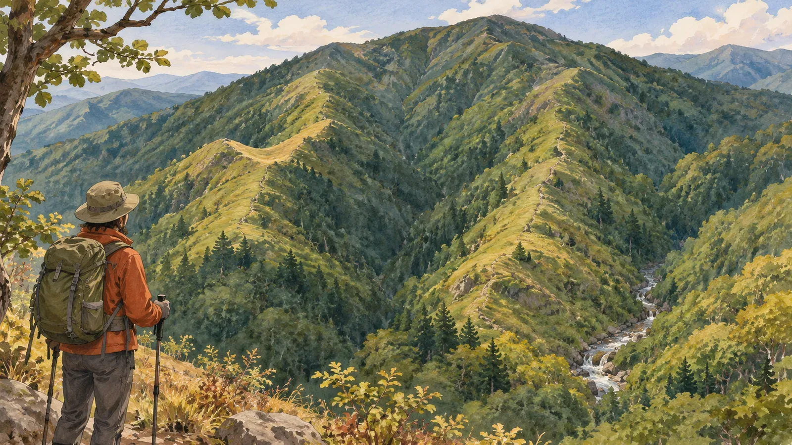
Two neighboring ridges both extend south. Knowing their names and matching what you see with the ridge on the map are separate skills. Keep several candidates open and compare them before settling on one similar shape. This is an exercise in comparing mapped terrain before a hike. Confirming your position on the ground takes further checks.
Put names aside and describe each candidate in the same way
The Geospatial Information Authority of Japan’s ridge and valley lesson contrasts contours that bulge toward lower elevations at ridges with contours that point the other way at valleys. First verify whether the feature you’re comparing is a ridge or a valley. Lines that look alike can describe different kinds of terrain.
The lesson points out that there are more ridges than the ones drawn in red. Look at the contours beneath those drawn examples to see how the ridges connect with the surrounding terrain. If you find a ridge, check separately whether there is a trail on it.
We suggest calling two candidates A and B while you compare them. These are temporary labels for keeping track of the ridges. Also record the area, the map you used, the part you compared and the date you consulted the map.
Use the same three questions for each candidate: where does it start and in which direction does it extend, where does its shape change, and how does it sit relative to other features? Note the section you’re describing. A feature near one summit is hard to compare with a side ridge much farther down the other.
Combine different clues
The Japan Orienteering Association’s pocket guide Different Ways to Establish Your Position advises checking the map for other features that look similar. For terrain, it lists differences in orientation and slope, distinct peaks and saddles, ridge or valley junctions and notable changes in direction.
The guide explains that you can confuse one trail junction with another by checking only for a junction. Adding the directions of the branches and a landform such as a saddle improves the match. Ask which way the branches go and what terrain surrounds them.
The third edition of the association’s Orienteering Instructor’s Manual: Navigation Skills explains, in its advanced section, how to distinguish similar landforms by shape, size, direction and relative position. It describes a skill for competitors. You can use the same points of comparison at home, while learning the skill itself takes practice.
Once you’ve written “extends south,” look for differences in other features, such as a bend or a nearby saddle. The comparison helps you see whether two ridges with the same initial direction relate to their surroundings differently.
Keep matches and mismatches in a trial comparison
Take two imaginary ridges. A extends south and then bends east, with a saddle before the bend. B also extends south. Within the area being compared, it has no major bend, and a saddle is yet to be identified. Both candidates are invented for this exercise.
Both ridges fit “extends south.” A also has a bend to the east and a saddle before it. Write down whether the saddle comes before or after the bend as well as whether you can see one at all. Describing how the features fit together makes it clearer what you’re comparing.
Suppose your notes say, “went south, then turned east after crossing a saddle.” That matches some of the details for A. Before concluding you’re on A, consider whether another candidate exists outside the area you checked or whether you misread the map or your notes.
For B, keep “saddle yet to be identified” as an open point. Distinguish a small feature you can’t resolve on the map from a feature you can clearly see is different. Keep an unknown from becoming a convenient reason to rule a candidate out.
We suggest marking each comparison “matches,” “doesn’t match” or “unclear.” Three matches still leave a fourth observation that conflicts. Use the mismatch to revisit the comparison area and your assumptions.
Use nearby features and the route behind you to check what remains open
The pocket guide recommends actively considering other locations where the same features could be visible, then taking into account what you’ve already passed. Once you have one plausible location, ask whether the features would appear in the same sequence at another candidate.
Alongside bends and saddles, note which side the neighboring valley is on and how the ridge connects to a point you’ve already checked. Left and right can be confusing after you turn around. Record which way you were facing and add compass directions when useful.
A map selects which details to show. Article 6 of Japan’s 1:25,000 topographic map specifications calls for selecting features with the map’s presentation in mind. The article gives no numeric size for an omitted landform or exact offset for an individual symbol.
Keep the evidence and remaining questions together: “A matches in several ways,” “this feature of B is unclear,” or “other candidates to check.” Avoid ranking the steepness of individual ridges by a count of contours across the whole area, or moving every map symbol by a fixed distance to make a match.
Keep the comparison focused on your planned trail. Avoid leaving it for another ridge to test an idea. Check current access information for the route and the skills you’ll need to use a map and compass. The notes make the gaps visible so you can ask specific questions before departure or in training.
In brief: check the differences between similar ridges
To distinguish similar ridges without names, compare the way each one extends, where it changes direction, how it relates to saddles and valleys, and what lies before and after it. Look for several matching features and check whether they could also describe a different place.
Labels A and B and the three match statuses help organize the comparison. Keep terrain you can’t resolve marked as uncertain, and check each discrepancy in context. A count of matching items cannot establish your position. Your notes should hold both the evidence and the questions you haven’t answered.
References and sources
- Japan Orienteering Association, Different Ways to Establish Your Position, pocket guide
- Japan Orienteering Association, Orienteering Instructor’s Manual: Navigation Skills, third edition, June 18, 2024, p. 16
- Geospatial Information Authority of Japan, teaching materials on identifying ridges and valleys from a map
- Geospatial Information Authority of Japan, 2013 Specifications for 1:25,000 Topographic Maps, article 6, including the March 30, 2026 revision