
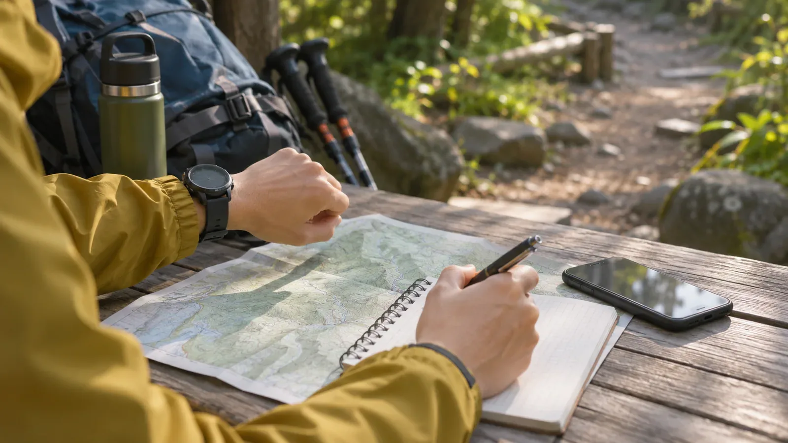
If you are starting later than usual, revise the plan even for a trail you know. When the last bus or the time you need to be down in daylight stays the same, a late start leaves less time. Consider shortening or skipping the hike. Leave time to rest and walk at a safe pace. Here is what to check before leaving, drawing on guidance about scheduling with time to spare and getting an early start and finish.
What official sources say about a late start
The Central Council for Mountain Accident Prevention's July 2019 summer notice recommends starting and finishing early because the weather tends to deteriorate in the afternoon in summer. That advice responds to the risk of worsening summer afternoon weather. The notice does not estimate the risk of all late starts or make a claim about winter and other seasons.
The National Police Agency's 2024 report recommends a schedule with time for breaks and identifying escape routes in advance. It does not establish that knowing a mountain makes accidents more likely. The discussion here is about the schedule and conditions.
There is no universal hour at which a start becomes late. Use past times as a reference and consider your condition, pack weight, trail conditions, sunset, the forecast and transport home. The U.S. National Park Service also advises estimating the time for the whole trip, including the return, and setting a turnaround time so you get back before dark. Your pace this time may differ.
The editorial inference from this advice is that a later start leaves less time to rest or make decisions, even on the same trail, and can put more of the hike into the part of the afternoon when the weather may worsen. The sources do not quantify that risk for a particular area or season.
Keep time for essential checks on a late day
Revisit walking time, breaks and checks. Allow time to open the map at a junction, get out rain gear and check how your companions are feeling. If there is no room for these, choose a shorter itinerary at the trailhead or skip the hike.
The summer notice says that even a small trip or slip can cause serious injuries such as broken bones. Factors in getting lost include not studying the course, leaving a map and compass behind, and limited map-reading skills.
When you are pressed for time, it can be tempting to rush past a junction or skip checking your footing or opening the map. That is the editorial team's observation. You still need to check your footing and position. The sources do not directly link a late start to these incidents. Agree in advance on the checks you will keep if the start is delayed.
Three things to decide before departure: turnaround times, shorter routes and who to tell
The following suggestions adapt the police and council guidance to a delayed start. Set your own times using past records and current official information for the day.
First, choose a turnaround time for each decision point. Write on the map, “If we haven't reached this junction by this time, we'll turn back.” Estimate the return time using past records and current conditions and leave room for rests and delays. Plan to finish while it is still light, since trees and terrain can make it dark before the listed sunset. The council's notice also advises checking the latest mountain and weather information and planning ahead to avoid hazards.
Second, check escape routes on a map. The police and the council both recommend this. On a late day, decide where you could leave the route if you fall behind, including places earlier than usual. Check whether those alternatives are open, how difficult they are and how you would get home. A shorter line on the map may still be unsuitable.
Third, revise and share the plan. The National Police Agency advises sharing it with companions, family or work and filing it as appropriate. If you start late, review the route and planned finish as well as the departure time. Have the whole group check the revision. For an already filed plan, follow the instructions from the service or authority you used. For example, Nagano Prefecture's own online filing service calls for submitting the amended plan again. Other services may have different procedures.
When you are down, let your contact at home know. Check whether your authority or app also requires a return report. Agree on who will check which plan if the expected time passes without a message. Tell someone your destination and expected return whether you are hiking alone or in a group.
Agree on what to do if you are unsure of the route. The National Police Agency recommends avoiding blind progress, returning to the official trail and ending the hike early if you think you may be lost. Retrace your steps if the route back is clear and safe. If it is unclear, avoid wandering. If you cannot get back on your own, call for rescue. As with the turnaround time, discuss this before you have to decide on the trail.
Check the familiar trail again with words and a map
On a familiar trail, it is easy to recognise junctions and scenery from memory. YAMAP MAGAZINE suggests describing changes in terrain before you go and comparing them on the day. The guide also describes looking around for waymarkers, cairns and paint blazes as well as watching your footing, and checking your position promptly in a GPS app if something feels off. These examples from a hiking guide show checks you can keep on a late day.
The article also warns that it is easy to stay on a forest road with better footing and miss the hiking trail branching off it. Tape tied to trees may serve a purpose other than hiking and can send you the wrong way. Fog and blowing snow can make it easier to leave the route on gentle terrain. The National Police Agency recommends checking your position with a map and compass and combining a hiking app with a paper map for a more accurate fix.
A March 2018 release from the Geospatial Information Authority of Japan helps explain how a map can differ from the trail. Using hikers' tracks, it corrected places where the main trails in Kamikōchi and Yatsugatake differed substantially from the topographic maps. This added some rerouted sections that had been missing. The release describes those two areas at that time. Check current access and map updates for the trail you plan to walk. The example shows why the editorial team suggests comparing what you see with both your memory and your map.
Try a paper-map exercise at home. Write your usual time for each section on a topographic map using past records. List when you would reach each point with a late start, then compare those estimates with when you need to be down in daylight. Add one line on terrain changes for each section, such as reaching a ridge, crossing a stream or meeting a forest road. At a turnaround point, pairing a time with a description of the terrain can help you compare the plan with what you see more quickly. You can do the exercise at home. It cannot establish that a difficult action is safe to attempt.
Revise the plan before setting out late
If you are delayed, check that you have enough time and energy to get back before setting off. Set turnaround times, confirm that shorter routes are open, and share the revised plan. If it does not work, skip the hike. Keep checking your footing and position on the trail. Stop if you cannot establish the route. Turn back if you can return safely, and seek help if you cannot get back on your own.
References and sources
- YAMAP MAGAZINE, Daisuke Washio — Skills and habits for avoiding getting lost
- National Police Agency of Japan — Overview of mountain incidents in 2024
- Central Council for Mountain Accident Prevention — Summer mountain safety notice and gear checklist (July 2019)
- Geospatial Information Authority of Japan — First topographic maps with trails corrected using movement data (March 7, 2018)
- U.S. National Park Service — Hike Smart
- Nagano Prefecture — Filing a hiking trip plan