
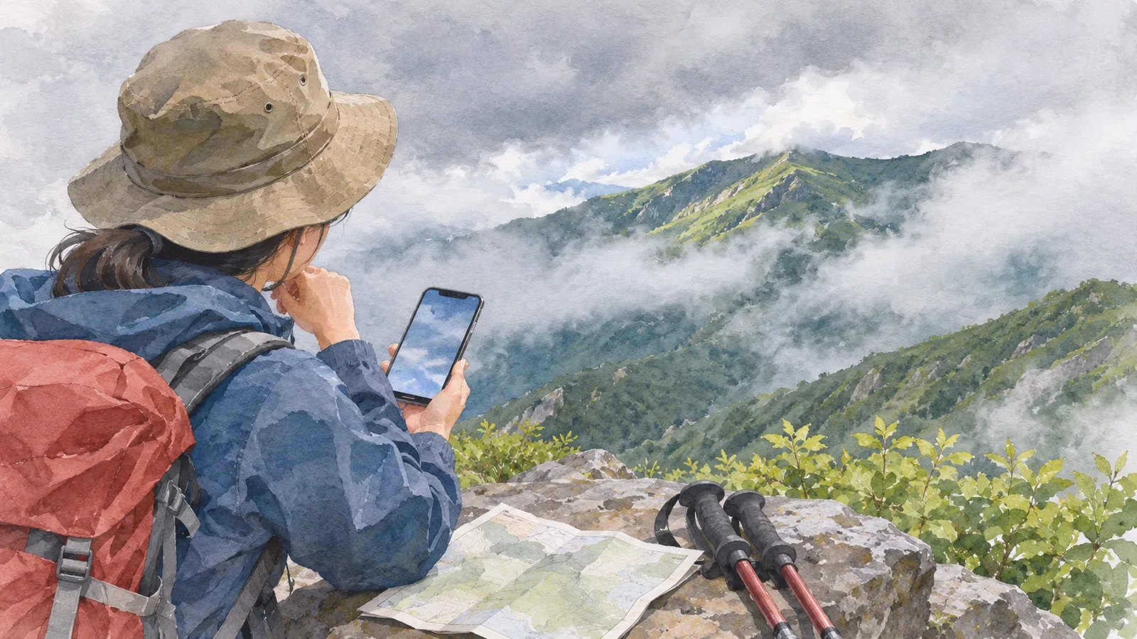
A cloud icon alone can’t tell you how far you’ll see from the summit. Prefectural and gridded forecasts don’t give visibility or cloud-base height for individual peaks. A cloudy forecast can go with either clear views or a summit in cloud. Check the written forecast and conditions in the field, and decide before leaving how you’ll handle poor visibility.
What these forecasts cover
The Japan Meteorological Agency (JMA) issues prefectural forecasts by local forecast area at 05:00, 11:00 and 17:00, with revisions when conditions change rapidly. They cover weather, wind and waves for today through the day after tomorrow, and six-hour precipitation probabilities and high and low temperatures through tomorrow.
The gridded forecast divides Japan into squares 5 km on a side and shows forecasts in three-hour steps through the end of tomorrow. The weather label is representative of the cell: clear, cloudy, rain, rain or snow, or snow. Other fields include average temperature, average three-hour precipitation in six bands and snowfall in four bands.
Neither product lists visibility or cloud-base height for individual summits. In its guide to historical observations, JMA defines “cloudy” as clouds covering at least nine-tenths of the sky, with more low and middle cloud than high cloud and no precipitation. This describes the state of the sky. It cannot be converted into a distance you can see.
What the cloud icon and clouds on the mountain can tell you
Weather icons give priority to rain or snow when either is expected. When one icon must cover cloud or sunshine, the forecast shows whichever is expected to last longer. JMA recommends checking the written forecast or regional time series for detail. The latter shows the prevailing weather in the local forecast area for each three-hour period.
The written forecast also uses specific terms. “Occasional” describes a phenomenon occurring at intervals for less than half the forecast period. “Temporary” describes a continuous spell of less than a quarter of the period. The icon summarizes the day. The text and time series show changes within it. Check those together to see what is expected while you’re on the route.
The Obihiro Weather Station’s hiking guide explains how air forced up a slope can help form or develop clouds. What hikers often call mountain fog is being inside a cloud that covers the mountain. A gridded forecast gives representative conditions or averages and can’t describe every summit or valley.
Even with a cloudy forecast for the area or grid cell, you don’t know where clouds will sit relative to the route. Whether you can see distant peaks or make out the trail needs a separate check. If you consult a hut’s report or camera, check where and when the observation or image was taken. A single view from another location says little about visibility along the whole route.
What confidence grades mean in a cloudy forecast several days out
JMA’s weekly outlook extends to one week. The Obihiro guide suggests treating roughly three days as a useful horizon for details such as clearing skies in the evening or a brief spell of rain before noon.
JMA grades its forecasts for the presence or absence of precipitation from day three onward as A, B or C, depending on expected accuracy and stability. In its verification of whether precipitation occurred, JMA uses observed totals of at least 1 mm, or at least 0.5 mm for snow. The weekly confidence grade describes the precipitation forecast. It gives no confidence rating for visibility under cloud. A high-confidence outlook for several cloudy days gives no assurance of a view.
Forecasts can change as new observations and calculations come in. The Obihiro guide warns that predictions can shift substantially near typhoons and stationary fronts and recommends looking beyond the planned descent day. Review wind, rain and conditions later in the trip as well as visibility. Rain over the previous 72 hours can help you assess trails and streams.
A planning note that leaves visibility as “unknown”
Record what you know separately from what you still need to check. A field report is limited to its place and time. These five fields can help you organize what to check before leaving and on the trail.
First, record the forecast’s name, issue time, area, cloudy periods, precipitation probability and amount. Second, write down what you know about visibility. If you have only a weather icon, record it as unknown. If you have an observation, record its place and time. Leave gaps where no information is available.
Third, choose where to make a decision. Find junctions and hard-to-follow sections on the map and plan to check conditions before them. Fourth, decide what you can verify on the ground, such as whether you can establish your location and identify the trail ahead. Fifth, plan what to do if you can’t go on. Choose a known way back or a shorter itinerary in advance. Avoid switching to unfamiliar terrain after visibility drops. Check the weather beyond the planned descent as well.
Choose a decision point before the footing becomes difficult, while there is still time to turn back. For a trip centered on the views, decide before leaving whether you’ll change the date or choose another route if the views are obscured.
To check a forecast or add a note, stop on firm footing without blocking the trail. If no suitable place is available, wait until you can stop safely. Decide in advance where you’ll check visibility and what you need to see before continuing.
Summary: choose decision points before leaving
A cloudy icon gives neither the visibility at a particular summit nor the height of the clouds. The weekly confidence grade covers precipitation. Check when and where forecasts and observations apply, and record what remains unknown. Before entering a section with potentially poor visibility, confirm your position and route and have a safe way to avoid pressing on.
References and sources
- JMA: Weather forecasts
- JMA Obihiro Weather Station: Before you go into the mountains
- JMA: Questions about weather forecasts and weather charts
- JMA: Gridded weather forecasts
- JMA: Weather terminology
- JMA: Historical weather data and weather summaries
- JMA: Weekly weather forecast
- JMA: How forecasts are verified