
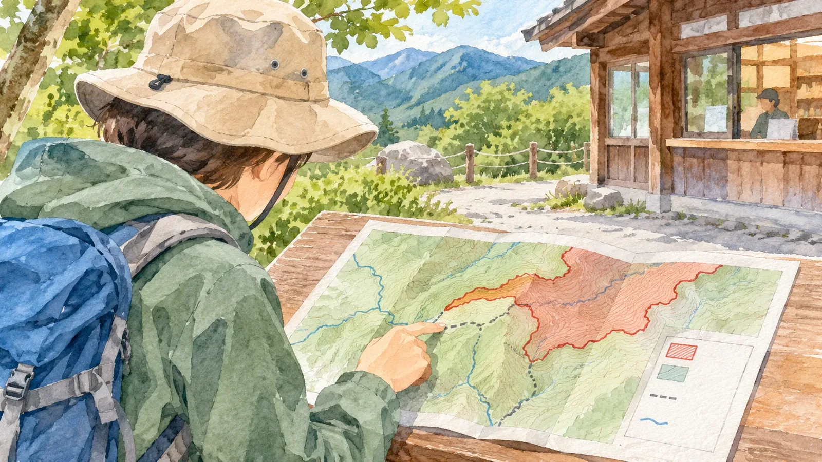
In a national park, a mountain’s trailhead, summit and descent can fall in different zones. To find a Special Protection Zone, read the legend on the official zoning map and trace the route you plan to walk.
Distinguish the park boundary from its internal zones
The Ministry of the Environment lists activities that require a permit or notification under the Natural Parks Act for each zone designated in a park plan. Special Protection Zones have the strictest controls on activities in national parks.
Find the mountain, trailhead and planned route on a topographic or hiking map. Then look for the zoning map on the park’s official site. Check its title, area, legend, scale and any publication or revision date. Read what the colors and lines mean on that specific map.
Use the legend to distinguish Special Protection Zones, Special Zones and Ordinary Zones. The summit can be in a Special Protection Zone while the starting point or descent lies outside it. A route can also pass through one even if the summit lies outside. Check everything from the trailhead to the exit.
Trace your planned route on the zoning map
If you are comparing printed maps, match several features such as ridges, valleys, roads, rivers and junctions. Differences in orientation or scale can make it harder to identify a ridge. Use other landmarks if place names differ.
The ministry publishes overview and detailed maps of Setonaikai National Park. It directs visitors to a park ranger office or other responsible office for exact boundaries, which cannot be determined from the maps alone. When overlaying a route in a digital map, check the source and precision. A small gap at high zoom does not establish which side of a boundary you are on.
Record the official map title, stretches that may enter a zone and places where the boundary is unclear. If you share your annotated map, include the name of the original so others can find it.
Check the rules for your intended activity in each zone
The ministry lists controlled burning, campfires and plant collecting among activities that require permission in Special Protection Zones, in addition to activities regulated in Special Zones. Check which entry applies to what you intend to do.
Walking, filming, carrying out research and installing equipment can each have different conditions. If unsure, describe the location, timing and activity to the ministry’s local office or another responsible authority.
Check landowners’ conditions and facility guidance as well. The ministry explains that some activities require an application or notification under another law in addition to procedures under the Natural Parks Act.
Ask the responsible office if the boundary is unclear
If the map is too small to show how a trail relates to the boundary, give the responsible office the title of the official map and identify the site you want to check. Naming the trailhead, junctions, route and planned activity makes the question easier to answer. Include map landmarks if needed.
Record the answer with the location, activity and date of your inquiry. Apply the advice to the specific stretch and activity discussed. If several agencies are involved, note what you confirmed with each one.
If you change trails, check the new stretch. Older trip reports and personal maps can help locate points, while current boundaries and rules come from official guidance.
Check the maps and local rules before leaving
If a map covers too large an area to show the details, use its index or related documents to find a more detailed map. When comparing documents, check their coverage and publication or revision dates.
Signs can help you locate yourself and understand local conditions, though their maps may be schematic. Avoid inferring an exact boundary from one sign. Save any contact details shown and ask the site manager if the sign conflicts with your notes.
Share the stretches you will walk and the conditions you verified with your group. For example, mark the designated path and say which document identifies it.
The ministry’s national park guidance asks visitors to stay on boardwalks and paths, take litter home and leave plants, animals and stones where they are. Consult the guidance and the applicable legal requirements for your visit.
Save the date and title of the documents you checked so you can find and review them later.
Follow your route on the official map, locate zone changes and check the rules for your intended activity. If a boundary or requirement is unclear, tell the responsible office which section and activity you have in mind.
References and sources
- Japan Ministry of the Environment: Activities requiring permits or notices in national parks and the relevant forms
- Japan Ministry of the Environment: National park notifications and permit applications
- Japan Ministry of the Environment: Setonaikai National Park overview and plans
- Japan Ministry of the Environment: National park rules and etiquette