
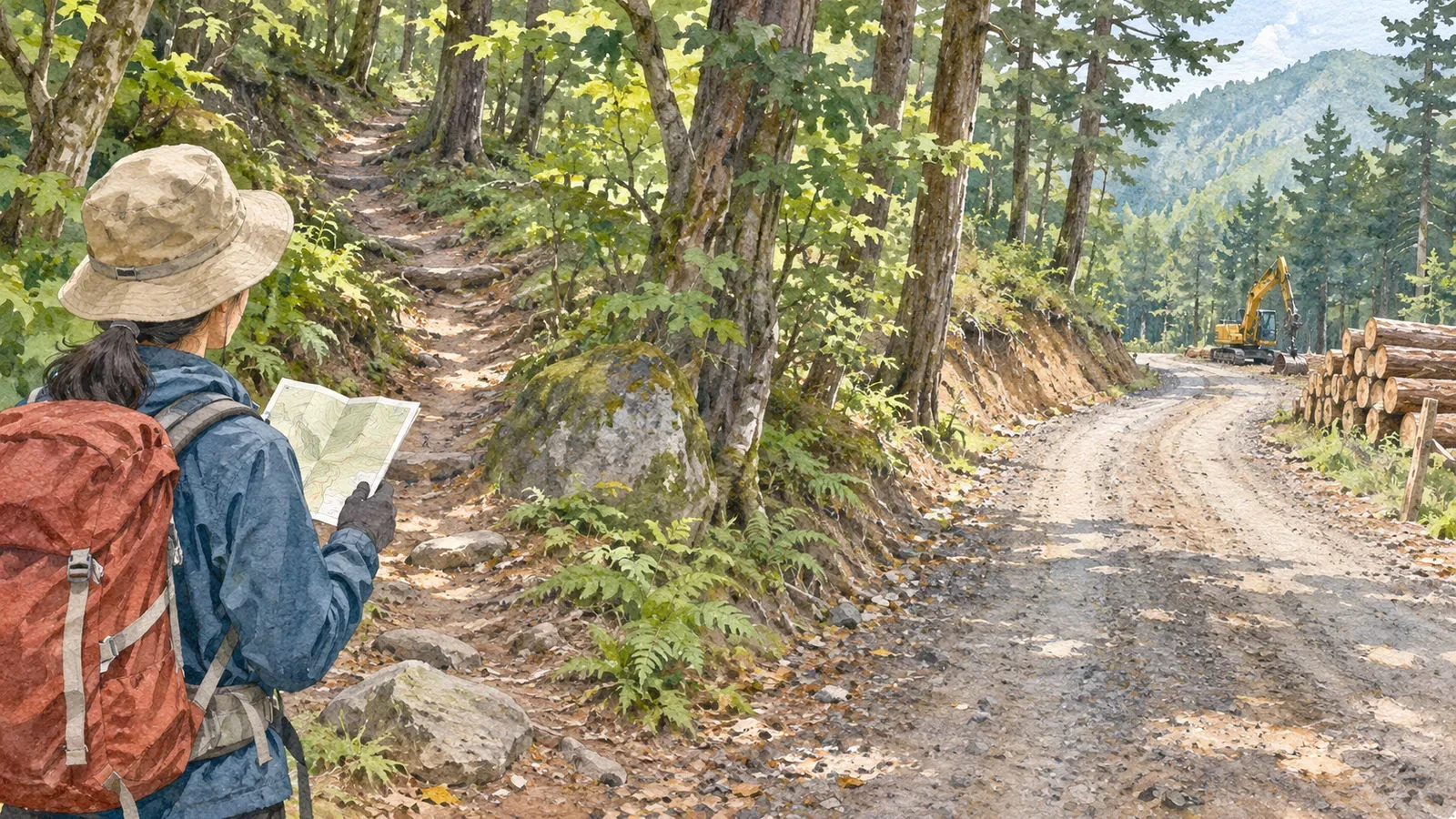
A wide road in the mountains may not be the hiking trail you planned to follow. Some roads serve forestry operations or carry timber. At a junction, compare the map and trail signs and confirm where you can pass.
Know what forestry work roads are used for
Japan’s Forestry Agency describes forestry work roads as routes for machines that gather felled timber and process it into logs. The roads are used repeatedly for work including thinning and replanting after logging. The agency distinguishes them from forest roads and dedicated forestry roads designed for trucks and other vehicles.
Hiking trails are routes indicated for people walking in the mountains. A section may also serve forestry operations. At a junction, use the map and the manager’s guidance to confirm where a route goes. Width alone tells you little.
Check the manager’s guidance to see whether you can walk on a work road. When you ask, give the date, the section and your hiking plans. If you don’t know the road name, provide its map location or a nearby landmark.
Check your location and the signs at junctions
Before leaving, use a map and the manager’s guidance to locate the trailhead, forest road crossings, junctions and where you will finish. In 2018, Japan’s mapping authority published updated maps of hiking trails in Kamikōchi and Yatsugatake using hikers’ track data. Check when your map was updated as well as the latest local access notices.
Where a wide road and narrow path split, check the sign and map before taking the easier-looking route. Wheel tracks don’t tell you whether a road goes to your destination. If you can’t read the sign or locate yourself, stop somewhere safe to check. Return to a known point if needed.
At a gate or fence, check pedestrian access as well as any restrictions on vehicles. Ask the manager if you are unsure. Keep out of closed areas and work sites, even if they look like a shortcut.
Keep out of the way of forestry work
People and vehicles move around forestry sites as timber and materials are handled. In 2026, the Hyogo Forest District Office asked hikers near Mount Dōyama and Mount Mitsujiyama to avoid thinning sites and timber haul roads and to park clear of truck routes. At your destination, follow signs and instructions from staff, and stay clear of machinery and work areas until you know where you can pass.
Choose a safe place away from work areas to take photos, rest or ask for directions. Keep your gear out of the way and leave materials alone. Wait for a break in the work before speaking to someone.
Work road conditions can change with operations and weather. Access described in an old trip report may have changed. If a route is closed, look for another open route indicated by the manager or turn back.
Check land and route information separately
The Ministry of the Environment explains that national parks are designated regardless of land ownership. Roads and nearby land within the same park can have different managers. Check the guidance for the section you plan to use.
The Forestry Agency’s guide describes facilities used for recreation in national forests and when an entry notification is required. Consult the regional guidance to see whether your route is covered and whether any other restrictions apply. In a private forest, ask the land manager.
After the hike, note confusing junctions, the source of the information you checked and the date. If you share the route, identify the sections where you confirmed access and leave forestry work roads out of shortcut directions.
In short — Check what a road is for and whether you can use it
Forestry work roads are used for moving timber and managing forests. Check your map, signs and the latest guidance to distinguish routes and confirm access.
Stay out of work areas and roads where access is unclear. Follow workers’ instructions and give local users room.
References and sources
- Geospatial Information Authority of Japan — Topographic map updates using hikers’ track data (2018)
- Ministry of the Environment — The purpose and role of Japan’s national parks
- Forestry Agency, Kanto Regional Forest Office — Guide to entering national forests
- Forestry Agency — Developing forest road networks
- Forestry Agency, Hyogo Forest District Office — Thinning and access around Mount Dōyama and Mount Mitsujiyama (2026)