
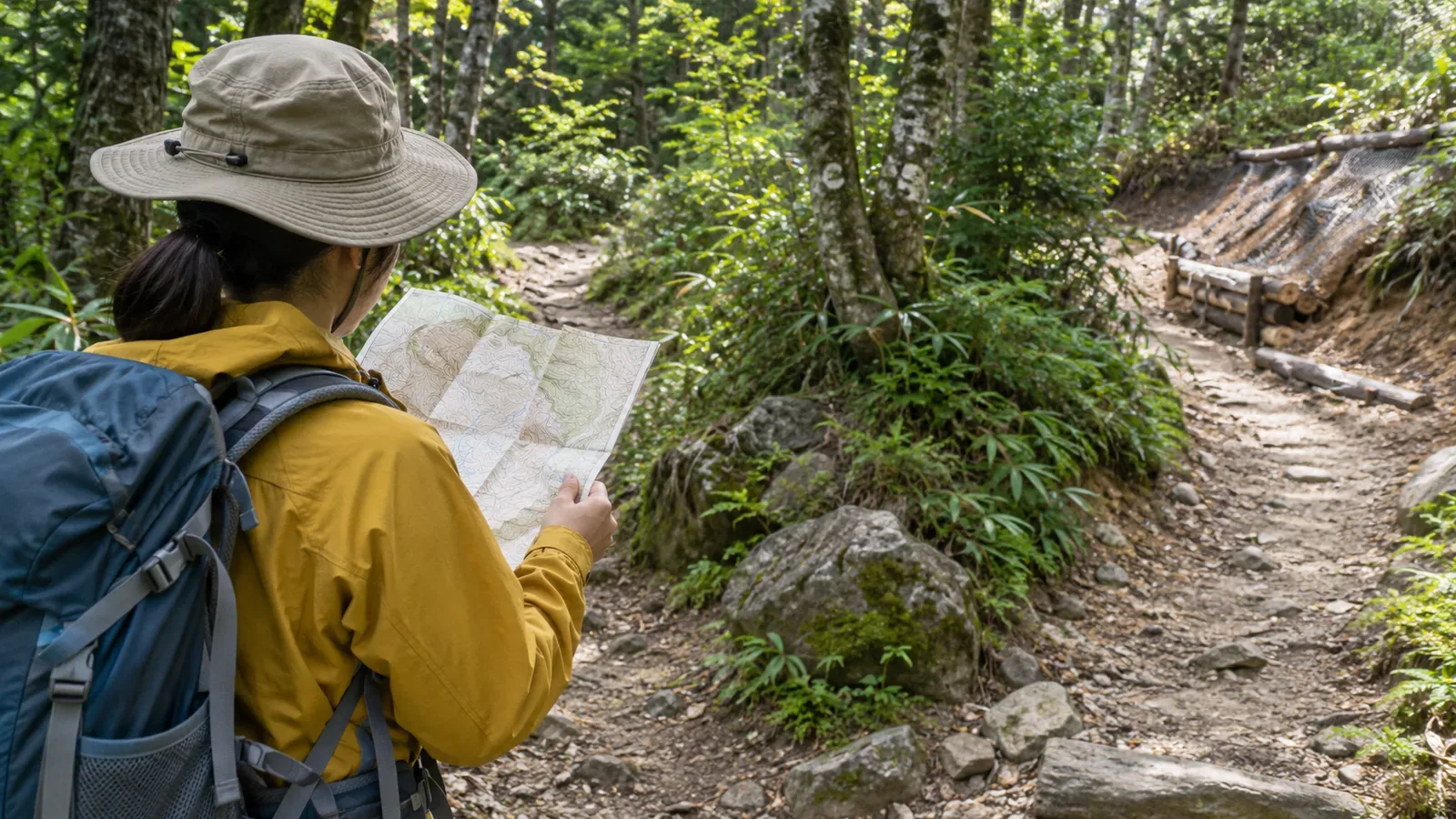
Bring a map and compass even to a mountain you know. Use them to check where you are, which way to go and how you would return. A map can help you spot a wrong turn early by checking junctions and changes in terrain. The National Police Agency of Japan also recommends carrying a map and compass and checking your position. Use paper and app maps together so you have a backup if one is unavailable.
Getting lost is common among reported incidents. The figures say little about familiarity
In the National Police Agency's 2024 report, 30.4% of the 3,357 people involved in mountain incidents had got lost. Trips and falls on the same level accounted for 20.0%, and falls down slopes for 17.2%. The percentages are based on the number of people, across 2,946 incidents. The figures also cover activities such as collecting wild plants and mushrooms or sightseeing. They cannot tell you the incident rate among all hikers.
These percentages cannot rank the risks on your own trip. A map helps you navigate, while difficult footing, weather and your health require their own preparations. To use a screen for navigation, check your footing and come to a stop. Allow time both to check your position and to walk carefully.
The report does not appear to record whether people were familiar with the mountain. The figures cannot tell you whether familiarity makes getting lost more or less likely. The map's uses below apply regardless of how well you know the route.
Three times when a map helps on a familiar mountain
The editorial suggestions below apply official guidance to familiar routes. Check current information and conditions for your own hike.
First, check where you would return. If you think you might be lost, the National Police Agency advises against moving on blindly and recommends returning to the official trail and ending the hike early. Retrace your steps only if the route back is clear and safe. To turn around, you need to recall which junction you came through and from which direction. A familiar route makes that easier until something differs from what you remember. A paper map gives you another way to check.
Second, compare the map, the trail and your memory when they disagree. In 2018, the Geospatial Information Authority of Japan published corrections for the main trails in Kamikōchi and Yatsugatake based on hikers' recorded routes. It revised parts that differed substantially from the map, including rerouted sections it had been unable to show before. It also announced plans to revise other major hiking areas over time. The release shows that trails can be rerouted and maps updated. It does not tell you when your own route was updated. We suggest checking current signs against a recent map rather than treating a memory or an old map as definitive.
Third, use a map and compass to check direction. The Geospatial Information Authority of Japan explains that the difference between the compass's north and the map's north is called magnetic declination and changes by place and over time. Check the value for your destination. A figure from another mountain or an older map may not apply. The agency's maps can show declination values and magnetic north lines. Check the reference year of the published model and practise orienting your map with your compass before you leave.
Phone and paper maps: check connectivity, positioning and map data separately
The National Police Agency says GPS-equipped phones can help when calling for rescue. Phone coverage and battery life are limited in many mountain areas. Its guidance also recommends using a map and compass to check your position and combining a hiking app with a paper map. Whether you can make a connection and whether you can open a map are separate questions.
YAMAP, for example, says downloaded maps can be used offline. Looking up the map and opening it once does not mean it is saved. Follow your app's official instructions for saving the area you need. Check connectivity, whether the device can locate you, and whether it can display the saved map separately. Review the app and device settings, then test them on your own phone.
First, check in advance that you can save the map data for your mountain to your device. Second, turn on airplane mode, check that Wi-Fi has not turned itself back on, and try opening the map in the app without a connection. Third, check that your position shows when you are somewhere safe outdoors. An indoor result does not tell you how positioning will behave in the mountains, and a single successful test cannot guarantee accuracy or continued operation. Fourth, carry a paper map of the same area in case the battery runs low or the phone stops working.
Stop before looking at a screen or map. Choose a stable place that leaves room for others to pass. Routine notes can wait until you reach a suitable spot. If you do not know the route, avoid putting off the check and walking on. Look for nearby hazards and avoid moving in an unfamiliar direction.
Before departure, put your memory of the trail onto a map
The editorial exercise below helps you compare your memory of a familiar mountain with what is on paper. How much it helps depends on what you can establish from it.
Trace your usual route on a current map and mark the junctions. Write what you usually look for at each junction in the margin. Next to it, add a separate clue you can check if the first disappears, such as the slope direction or a sign. Follow the National Police Agency's advice to check hazards and escape routes in advance. Decide where you would turn back and where you could shorten the hike. If using a compass, find the latest declination value for the area. Write a trip plan and share it with family or work.
Tell a contact who is staying behind where you are going, the route, who is going and when you expect to be home. File your plan according to the area's instructions. Decide how to communicate changes and report your return. Take the map and share the plan, since they serve different purposes.
If your memory disagrees with the map or a sign on the day, first check where you are and which way to go. Stop if you cannot confirm them. Retrace your steps if the return route is certain and safe. If you cannot establish the route back or cannot move on your own, stay where you are and call for rescue. Observe trail closures even when the map shows a trail.
Use a map to check where you are, where you are going and how to get back
Carry a map on a familiar mountain and use it to check your position and direction at junctions and changes in terrain. It helps you spot a mistake early and work out the return when needed. Check the map against current information, signs and restrictions. Be ready to use your paper map and compass or the map saved in your app.
Published figures do not show how the likelihood of getting lost differs between familiar and unfamiliar mountains. Before your next hike, check your map edition, the local declination and how the app works in airplane mode. Then mark junctions and turnaround points on paper. Agree to stop if you cannot check where you are safely.
References and sources
- National Police Agency of Japan — Overview of mountain incidents in 2024
- Geospatial Information Authority of Japan — Making hiking maps easier to use (December 1, 2016)
- Geospatial Information Authority of Japan — Calculate geomagnetic values
- Geospatial Information Authority of Japan — First topographic maps with trails corrected using movement data (March 7, 2018)
- YAMAP — A simpler flow in the redesigned app (updated August 17, 2026)