
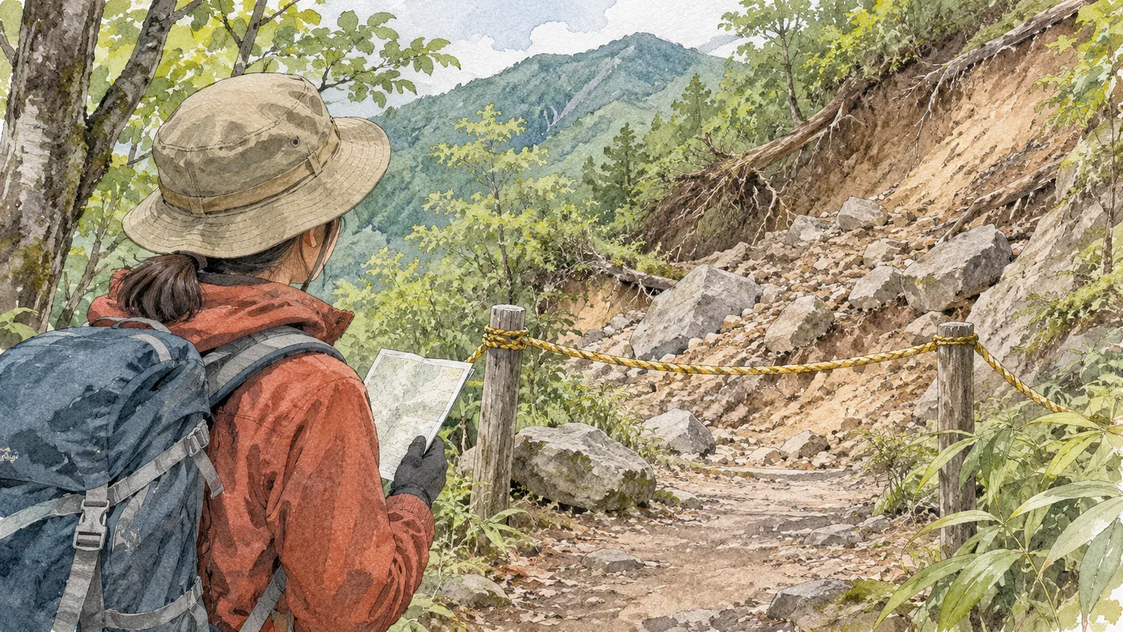
Remembering the junctions and the views makes a familiar trail feel reassuring. Being able to pass last time tells you little about the conditions today. If you see a washout or a closure sign, check what is happening now and what the trail manager says. Give yourself time to change the plan, especially on routes you know well.
Distinguish what you remember from what you see
Maintenance and disasters can alter where trails run and whether you can use them. In 2018, the Geospatial Information Authority of Japan released revised topographic maps of major trails in Kamikōchi and the Yatsugatake area. The agency drew in part on hikers' tracks provided by private companies. That release shows how trail information can change even on official maps.
Those maps cannot tell you when or why the washout in front of you happened. Distinguish what you observe, such as “part of the trail looks like it has fallen away” or “there's a closure sign,” from an assumption that you can still pass because you know the old trail. Avoid trying to establish the cause or judge whether the trail is safe from a distance.
Old photos and your companions' memories can help, but they reflect another time. Even if the terrain looks familiar, read signs and check the latest notices from the trail manager if signs or ropes have changed.
Look for reports of changes before leaving
Check local government, park, trail manager and mountain hut notices for closures, washouts and construction. On April 9, 2026, Japan's Ministry of the Environment announced that erosion in the Kōzusawa ravine on Mount Tenjo on Kozushima could carry away the trail bed. It closed part of the trail and directed hikers to a detour. That announcement concerns one section. Check current access for each route you plan to hike. Match the trailhead, junction, section and dates to your map and intended route. If a notice is old or the section is unclear, contact the responsible office with your planned date and route.
The Central Council for Mountain Accident Prevention's summer notice recommends gathering information and bringing a map and compass. Even on a familiar trail, prepare to check the latest notices and establish your position. Some listings, such as the Okutama Visitor Center's, give the section, status, reason, dates and links to the responsible authorities. Distinguish cautions from closures and read any notes and diagrams. If a detour is posted, check its distance and difficulty and work out your transport home.
Agree with your companions on where to turn back if a section is closed, or choose another date. Leave enough time and energy to get home, with room to revise the original plan.
Observe restrictions on the trail
Follow closure barriers, ropes and instructions from workers. Even if you could pass before, leave signs and barriers in place and do not go around them. If no detour is marked, avoid making your own path around the washout. Check the trail manager's information from a safe place.
Even without a sign, if conditions differ from what you expected and you cannot tell whether you can pass, stop somewhere safe and discuss it with your companions. Keep away from the edge of the washout. Retrace your steps if you know the return route with confidence and can walk it safely. If you do not know the return route or cannot move because of an injury or another reason, avoid forcing yourself to move and call for rescue. This article focuses on checking current access and deciding when to stop or turn back.
YAMAP MAGAZINE's article on getting lost gives examples of hikers missing signs at junctions. If a washout makes the trail look different, confirm your position and intended route with a map and the signs. Use your memory as one clue alongside them.
Report what you observed
Once you are safely back, report when, where and what you saw using the trail manager's preferred method. Include the name of the nearest junction or the section from the trailhead if you can. Send photos only if you took them from a safe place. Stay away from hazardous spots when taking pictures.
If you cannot confirm that the trail is impassable, explain what you saw: “from here, part of the trail looked washed out” or “I couldn't check the section beyond it.” Keep the trail manager's decision separate from your observations. Include the date and source when sharing the information with others.
If you hike the same trail again, use your notes as a reference and check current access before you go. Look to the trail manager's notices for confirmation of repairs.
Check current notices before relying on a familiar route
Even on a familiar trail, a washout or closure takes priority over the memory of being able to pass. Check notices from the trail manager before leaving, then read signs and look at conditions on the ground.
If you cannot tell whether you can pass, stop somewhere safe to discuss what to do. Turn back if you can safely retrace your route, or revise the plan.
References and sources
- Geospatial Information Authority of Japan — First topographic maps with trails corrected using movement data (March 7, 2018)
- Central Council for Mountain Accident Prevention — Summer mountain safety notice and gear checklist (July 2019)
- YAMAP MAGAZINE, Daisuke Washio — Skills and habits for avoiding getting lost
- Ministry of the Environment, Kanto Regional Office — Partial trail closure near Mount Tenjo's summit on Kozushima (April 9, 2026)
- Okutama Visitor Center — Trail and road conditions in Okutama