
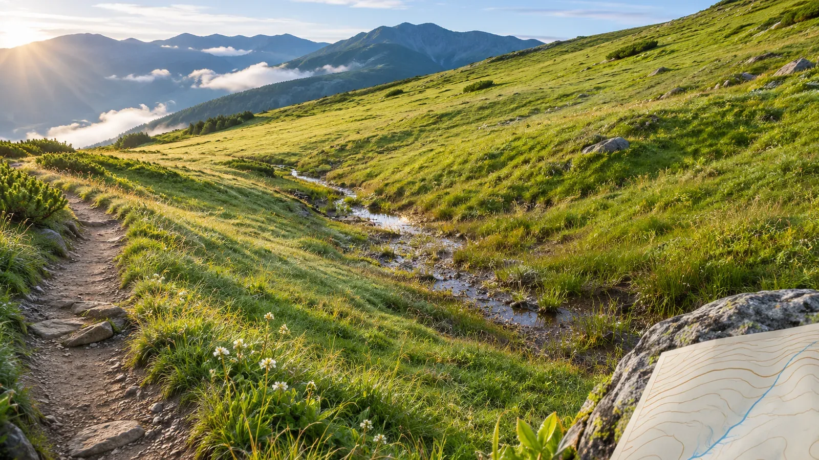
Widely spaced contours cannot establish whether a place is safe to walk. Using primary sources checked on October 28, 2026, we'll look at what cliff symbols show and at official precautions about boardwalks, wetlands, and streams in Oze. The editors then suggest recording terrain, trail conditions, and the dates of your sources separately.
Read wide spacing separately from surface and access information
The National Mountaineering Training Center's guide for high school clubs illustrates how close contours indicate steep slopes and wide spacing indicates gentler ones. This is a basic way to read terrain. Check separately whether a trail is dry, the footing is stable, and the route is open on the day.
On the Geospatial Information Authority of Japan's 1:25,000 topographic maps, intermediate contours connect points of equal elevation at 10 m intervals. At 1:50,000 they are 20 m apart. The spacing on paper and the elevation interval are different measurements. Check scale and interval before comparing maps, and do not infer the ease of walking from a distance measured in a different direction from the trail.
Cliff symbol standards and Oze's boardwalk and wetland precautions give examples of checks to make alongside slope. The local advice explains what to check about surfaces and access in particular places. It makes no claim about all of Oze's slopes or accident rates at different contour spacings.
Check what the cliff symbol shows and when it is used
GSI uses the earth-cliff symbol for steep slopes created by ground collapse and for artificial slopes formed by embankments or cuts. Read these and other terrain symbols around your route as well as the spacing of contours. If a symbol is unfamiliar, look it up in the official guide or the legend.
The same guide gives a minimum height of 3 m and a minimum length of 75 m, both required for the symbol described there. Those thresholds govern the drawing. A smaller feature can still be unsafe or impassable. Other maps may use other standards.
Because the symbol has criteria, an unmarked area may still contain steps or steep sections. If there is a symbol near the route, work out whether the trail goes above the cliff, below it, or somewhere else. Stay away from cliff edges and off steep slopes when checking the map in the field.
On boardwalks and wetlands, check wet surfaces and stay on the route
A Ministry of the Environment ranger's October 18, 2021 account of autumn in Oze warns that wet boardwalks can be slippery after rain. A boardwalk on the map or an apparently gentle slope gives no current information on wetness or traction. Check the surface on the day and the manager's updates. The Oze Preservation Foundation's notices list closures and local guidance.
The same account explains that the Ozegahara marsh may look like a grassy field, but shoes can sink into wet ground if you step off the boardwalk. Wider spacing on one side gives no reason to leave the path. Fukushima Prefecture also tells visitors to stay out of the wetland and keep trekking poles and camera tripods off it.
These are local examples from Oze. They show why a surface that looks level and a place you can put your feet require separate checks. Stay on the path when taking photos or passing others.
Check the map without testing whether a wet spot slips or stepping into grass to see how deep it is. Take notes after stopping on stable footing without blocking the trail. If there is no suitable spot, postpone the notes and follow on-site signs or instructions.
Record terrain, trail conditions, and the date of your information
Fukushima Prefecture also warns about crossing streams in high water as well as walking on wet boardwalks. A stream and route shown on a map do not establish the water level or whether it can be crossed on the day. Check current notices and conditions rather than relying on wide contours or how close the far bank looks.
The prefecture also notes that snow can remain after the early-summer season opens and advises checking current trail information. An opening date or a mapped path does not establish that the snow has melted or the trail is passable. This is a seasonal example for Oze. Check current notices for the dates of your own trip.
For each section, try three columns. In the terrain column, note the map, contour interval, apparent steepness, and symbols. In the trail conditions column, list what local guidance suggests checking, such as boardwalks, streams, or wetlands outside the path. In the information column, write the manager's source, its update date or dates covered, and what remains unverified.
If the map shows wide contours, leave the boardwalk's dryness, the stream crossing, and snow cover unverified until you can check them. If you find an older photograph, distinguish its date from conditions on the day of your hike. A completed table is a record of your checks. Continue to assess the trail on the day.
If footing or the route ahead is unclear, reassess what to do before reading more symbols or finishing the table. If your position or route is unknown, stop and establish it instead of moving toward wider contours. Use these notes to identify conditions the map doesn't settle.
Use gentle terrain as one clue when assessing safety
Contour spacing helps you read the slope. Check cliff symbols, wet boardwalks, wetland access, high water, and lingering snow separately. Compare local primary sources with current notices, and record terrain, trail conditions, and information dates. Leave unknowns explicit and look beyond the contours when choosing a route or a place to take shelter.
References and sources
- Japan Sport Council, National Mountaineering Training Center | First Steps for High School Mountaineering Clubs (PDF page 4, print pages 5–6)
- Geospatial Information Authority of Japan | Map symbols: intermediate contours
- Geospatial Information Authority of Japan | Map symbols: earth cliffs
- Ministry of the Environment | Autumn in Oze (October 18, 2021)
- Fukushima Prefecture | Trekking precautions
- Oze Preservation Foundation | Notices