
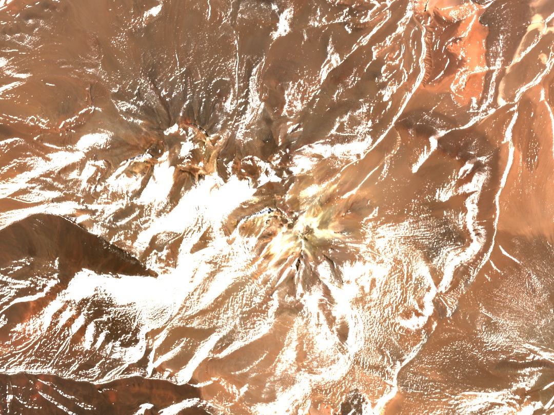
A Puna Stratovolcano
In 2017, Petrinovic and co-authors placed Colorados among the Pliocene stratovolcanoes, a period spanning roughly 5.3 to 2.6 million years ago. A stratovolcano grows as eruptions accumulate lavas and other deposits. In the satellite image, the gullies cutting the slopes and the ridges connecting the various peaks are clearly visible. To the east lies a secondary summit of more than 6,000 m, already within Argentine territory.
From the map line to the boundary markers
The award of 24 March 1899 drew a straight line between Cerro Aguas Blancas and the Cerros Colorados, and another from there to the Cerros de Lagunas Bravas. In 1905, the boundary commissions recorded five markers along the first segment and two along the second. When placing them, the demarcation teams made use of prominent features of the terrain, which in some cases lay several hundred metres from the original straight lines.
The 1999 Expedition
Andeshandbook records the first known modern ascent in 1999. Henri Barret, Walter Sinay, and Catalino Soriano reached the summit from Argentina. To access this part of the Puna, Barret designed and built the expedition vehicle himself. In his 2005 account, Guillermo Almaraz places that ascent among Barret's explorations in northern Catamarca, which also included Vallecitos and the Cumbre del Laudo.