
Names Across Languages
National and provincial tourism material links the summit to the name Pú Luông within the Hoàng Liên Sơn range, while provincial historical sources use the form Púng Luông and record 2985 m. The Trạm Tấu district booklet attributes the name Phu Song Sung to Thai usage and Chung Chua Nha to Hmong usage, reflecting the distinct linguistic communities of the surrounding upland district. The peak is separate from the Pù Luông Nature Reserve in Thanh Hóa province to the southeast, a distinct place at approximately 1700 m that shares a similar romanized name.
Terrain and Seasonal Flowers
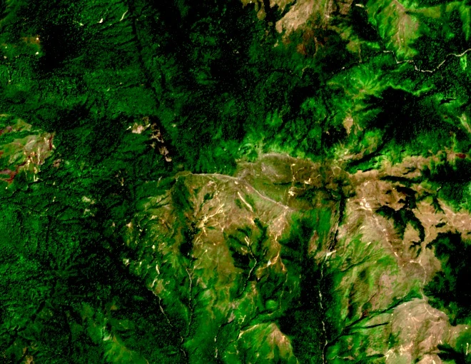
The summit terrain is documented as steep and windy, with exposed ridgelines subject to persistent cloud that opens into broad views from the high ground. National tourism writing records the autumn appearance of chi pâu flowers, described as purple, across the upper slopes during that season. Voice of Vietnam has reported a Hmong story connected with the name of the chi pâu flower, without identifying a botanical species in that account.
Administrative Geography
The mountain rises above the former commune of Xà Hồ in Trạm Tấu district, historically within Yên Bái province. Provincial sources record that in 2025 the new Hạnh Phúc commune in Lào Cai province incorporated the former Xà Hồ and former Trạm Tấu township, shifting the administrative context of the mountain's base. Sources using timeless geographic description place the summit in northwest Vietnam within the Hoàng Liên Sơn range, with Gunung Bagging field survey locating it at approximately 21.5707°N, 104.3065°E.