
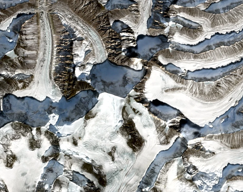
Raktavarn Glacier Approach
The Raktavarn Glacier provides the defining approach corridor to Shri Kailash within the Gangotri Group. Two climbers recorded their own 1982 route and glacier camp in first-hand terms in the Himalayan Journal, describing conditions on the mountain and the character of travel through this glacial basin.
Recorded Ascents
On 16 October 1938 an expedition led by R. Schwarzgruber made the first recorded ascent via the west ridge. A first Indian ascent is reported in 1963 by an expedition led by D. Pandya. The 1985 American Alpine Journal records a September expedition to the peak led by Bilwa Nath Ghosh.
Elevation and Sources
Carter's classification gives the summit elevation as 6,932 metres, the figure consistently cited in Himalayan Journal and American Alpine Journal records. The spellings Sri Kailas and Shri Kailash appear across historical sources reflecting different transliteration conventions; Carter treats both forms as the same summit.