
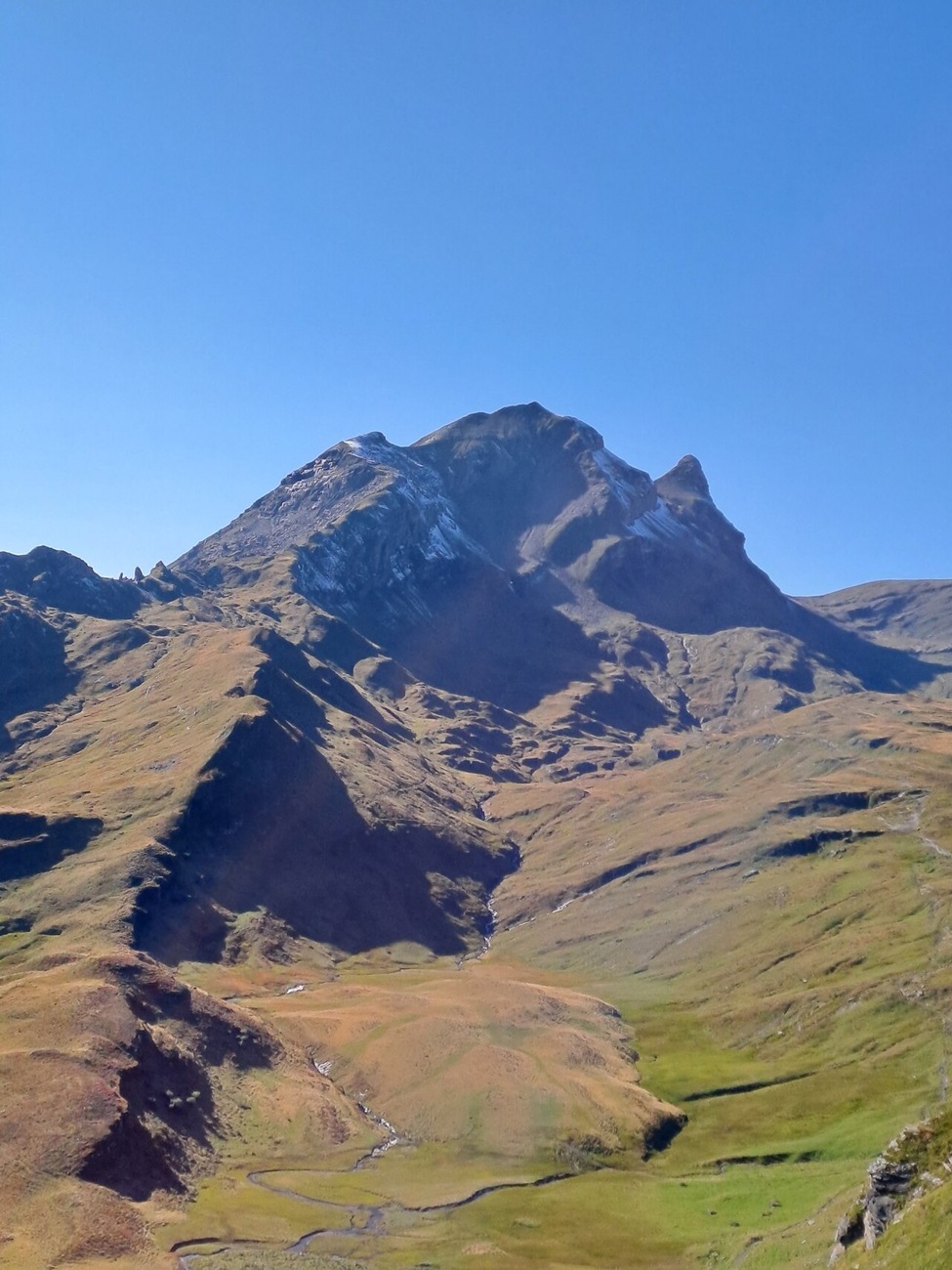
A Crest Above Grindelwald
The Swiss Alpine Club places Reeti on the boundary of the Grindelwald–First area and describes both a main summit and a fore-summit visible from the Esel, alongside the neighbouring Simelihorn. The SAC notes that Reeti presents a dominant-looking mass that is comparatively compact in its actual dimensions — a distinction that becomes apparent when the full crest comes into view from lower ground.
Northeast of the summit, the Swiss national map labels the high lake Bachsee. Jungfrau Railways uses the name Bachalpsee for the same body of water, placing it at about 2,265 metres. The operator's published panorama shows the Schreckhorn and Finsteraarhorn reflected in the lake's surface.
What the Local Name Records
The dialect writer Emanuel Friedli, in his 1908 Grindelwald volume, recorded that local people used the short form Rëëti most frequently, alongside the fuller Rëëtihŏren and a diminutive variant. Friedli's written notes also include the German form Rötihorn. Current Swiss national maps label the summit Reeti.
Friedli also recorded a mineral observation at the Rötihorn: dark shale and claystone richly streaked with red iron ore. That description belongs specifically to Friedli's fieldwork and his account of the rock face as he encountered it. In the same volume he noted that the name of the neighbouring Simelihorn evoked, in his reading, a round, tower-like shape — a writer's observation of naming convention, not a formal topographic designation.
The Chairlift Era and the First Corridor
The Firstbahn operator documents the original chairlift in four sections. Two sections below Bort opened in December 1946, and the Bort–Egg and Egg–First sections followed in February 1947. The formal inauguration took place on 15 June 1947, and the chairlift served the corridor for more than four decades.
In 1991, a six-seat gondola replaced the original chairlift, running on a changed alignment with its upper station at First. Bachalpsee lies farther to the west, with Reeti rising beyond the lake.