
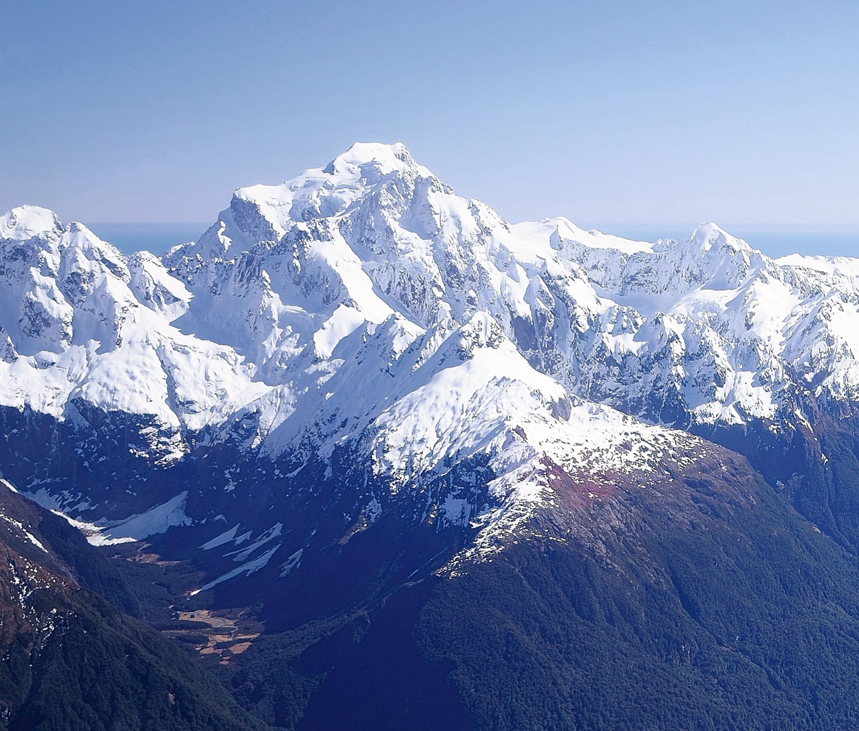
Tūtoko and Ngāi Tahu
The Ngāi Tahu Claims Settlement Act 1998 records that geologist James Hector applied the name Tūtoko in 1863 after meeting the rangatira Tūtoko and his daughters Sara and May during an expedition through the region. In Ngāi Tahu tradition, the landforms of Fiordland were shaped by the sides of the overturned waka of Aoraki. The same tradition identifies Tūtoko as kaitiaki, or guardian, of Whakatipuawaitai. Under the Ngāi Tahu Claims Settlement, Mount Tūtoko holds Tōpuni status, a designation that formally recognises the Ngāi Tahu values, associations, and traditions connected with the mountain.
Southwest Ridge and First Ascents
The southwest ridge rises from the Tūtoko Valley and is interrupted by a major rock bluff. The New Zealand Alpine Club records that the first ascent of its described southwest-ridge route required three days of track cutting followed by three days of climbing. A historic New Zealand encyclopedia records a separate first ascent in 1924 by Samuel Turner and Peter Graham via the northwest ridge.
Identifying the Summit
Early maps presented a persistent problem: the name Tūtoko had been placed on the summit now identified as Mount Madeline. A 1922 New Zealand Lands and Survey report, appended to Samuel Turner's memoir, documented the uncertainty. A 1921 reconnaissance conducted with surveyor D. Macpherson produced sketches and photographs intended to distinguish the two peaks, though field difficulties left those reports incomplete. The modern New Zealand Alpine Club records Mount Madeline at 2,536 m and Mount Tūtoko at 2,723 m. Peter Graham and Samuel Turner made the first recorded ascent of Mount Tūtoko via the northwest ridge in March 1924.
Position Across Two Land Districts
The LINZ record places Mount Tūtoko across the boundary of the Southland and Otago land districts. The New Zealand Alpine Club lists the mountain within the Darran Mountains, and the Department of Conservation confirms the 2723-metre elevation and its status as the highest mountain in Fiordland.