
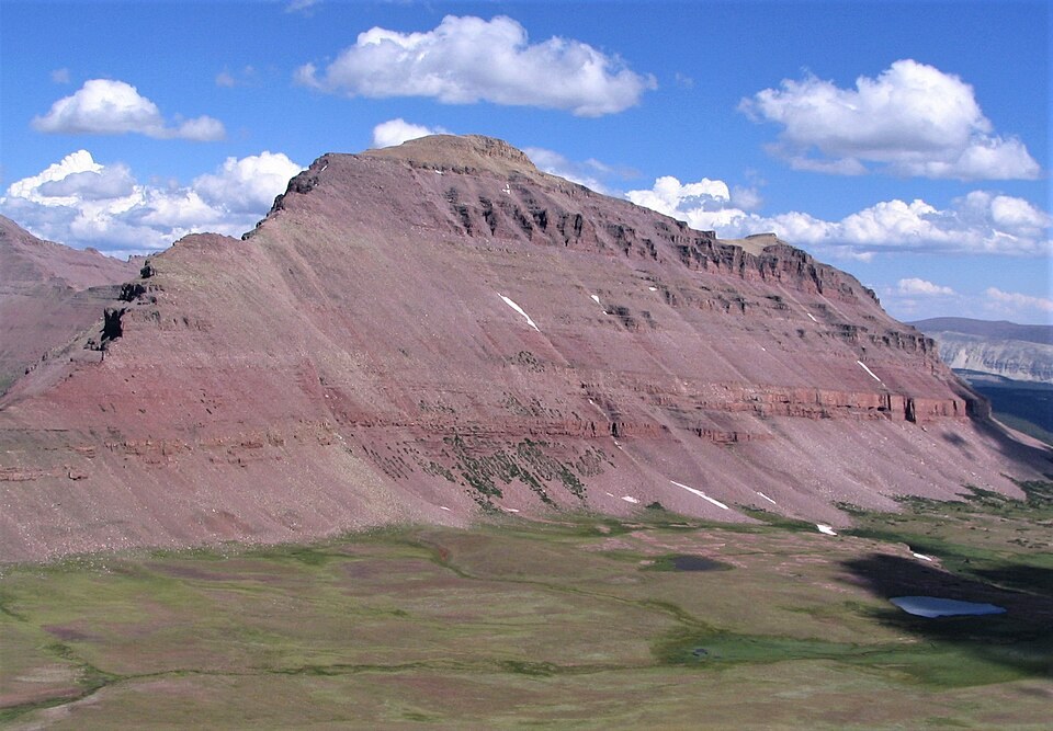
Measured Heights and Mapped Headwaters
A historical USGS hydrological account described Mount Lovenia and neighbouring Tokewanna Peak as towering over the headwaters of Blacks Fork, recording Lovenia's height at 13,250 feet, a figure close to modern cartographic and lidar values near 13,220 feet. That survey work established the peak's relationship to the river system draining northward from the crest, while the southern slopes feed into the separate Lake Fork drainage.
Glaciated Pass and Ice History
The Utah state geologist's research on Uinta glaciation documents that ice once crossed the crest at a pass marked on older maps directly west of Mount Lovenia. This indicates the glaciers of the past were not confined to one side of the divide but moved through saddles connecting the northern and southern basins. The surrounding terrain retains the landform signatures of that older glaciated landscape.
Position on the Uinta Crest
Modern cartography, confirmed by lidar surveys, places Mount Lovenia along the same high ridgeline as Tokewanna Peak to the north-northwest. The USGS topographic quadrangle bearing the peak's name maps both summits together with the headwater stream network below them. At roughly 4,030 metres, Lovenia stands among the principal elevations on the Uinta crest within the High Uintas Wilderness boundary established by Congress in 1984.