
Cartographic Record and Naming
The name Mount Ilicho entered the formal U.S. record through a 1944 Board on Geographical Names decision that accepted that form and listed Ilikiu and Ilicho Peak as variants of the same feature. A sketch drawn in 1792 and analysed by Carlos Madrid carries the labels Pico Ilicho and Vigía marking the peak and the lookout position. A companion view held in the Spanish Ministry of Defence Naval Archive records the coastal setting from the same period. Vigía names both the sentinel and the elevated post, as Madrid discusses in his study of colonial lookout networks across Guam.
An earlier record comes from the 1709 voyage of English privateer Woodes Rogers, whose officer Edward Cooke sketched the coast near Umatac and annotated a flag hoisted for an approaching Spanish ship. Cooke published the account in 1712, and the drawing reproduced by Madrid fixes the coastal setting and the approximate inland hill, leaving the precise summit an open question.
The 1819 Sentry Report
The clearest documentary evidence comes from a manuscript report by Governor José de Medinilla, quoted by Madrid, recording a sighting in March 1819. One of the two sentries stationed on Ilichu Hill personally reported a three-masted ship approaching the bay. Madrid connects the vessel to the expedition of French explorer Louis de Freycinet, who reached the island that year.
Field Comparison and Summit Ambiguity
On 23 March 2014, Madrid and Aja Reyes visited both Ilicho and Bolaños and conducted field comparisons from each summit. From Ilicho they recorded a broader view extending toward Merizo Bay. The cartographic evidence points to the wider Ilicho-Bolaños area as the location of the vigía, with genuine ambiguity remaining between the named summits and the historic station. The 2014 visits found no visible traces at either site.
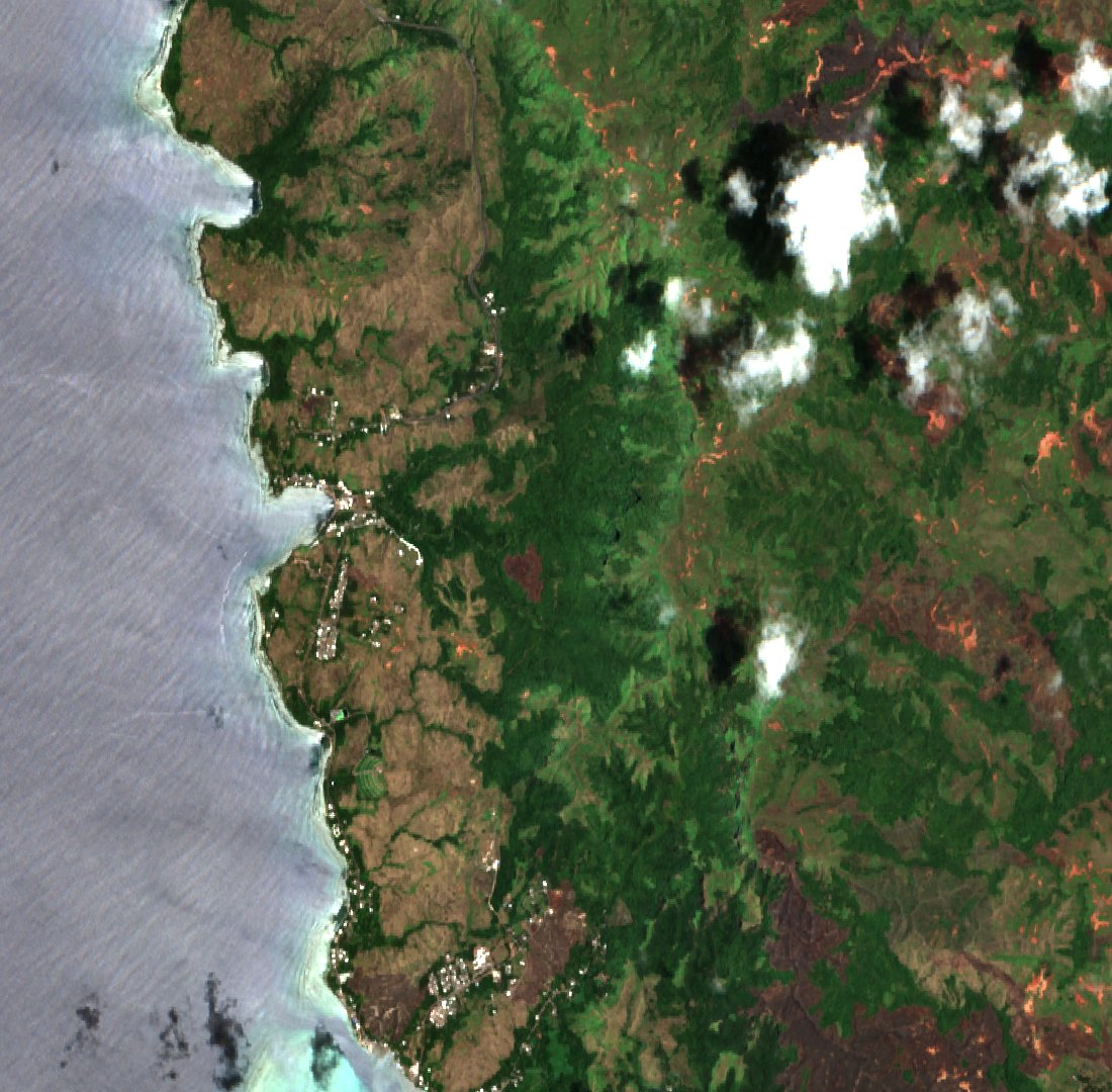
A natural-colour Sentinel-2B satellite image captured on 9 April 2025 places Humåtak Bay and the two adjacent hills within a single north-up frame, showing the coastal and upland terrain together.