
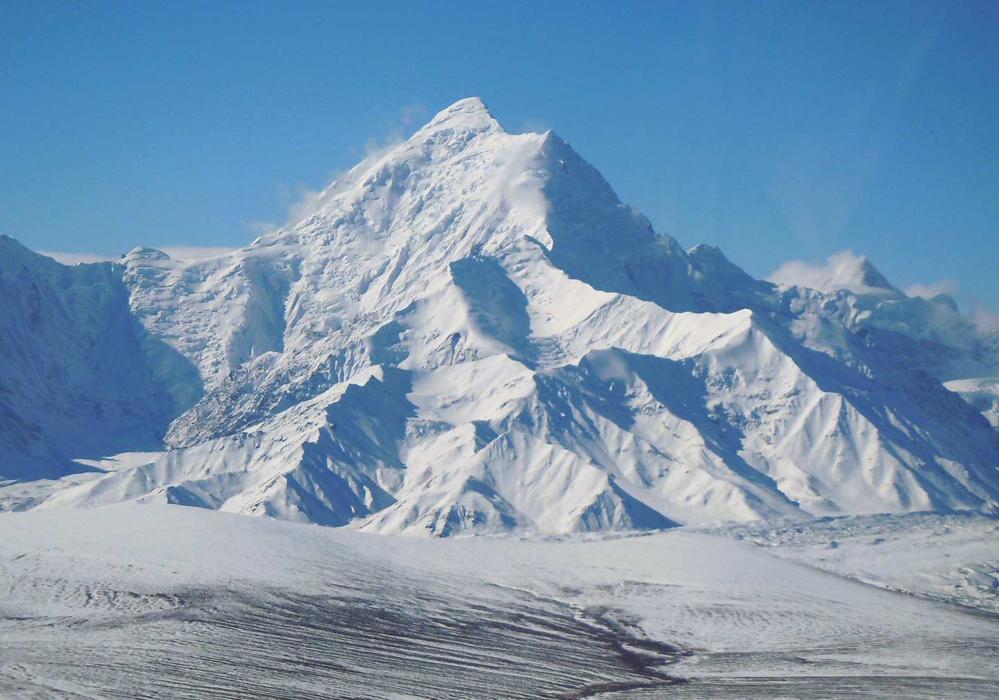
A Peak Named in the Field
In 1898, USGS surveyors W. J. Peters and A. H. Brooks named the mountain for Charles Willard Hayes, a geologist with the United States Geological Survey. The Geographic Names Information System locates the summit at the head of Hayes Glacier, southwest of Delta Junction. That glacial setting shaped the approach taken by every subsequent expedition.
Early Attempts
Two University of Alaska students made the first recorded attempt on the mountain in 1935 without reaching the top. Oscar Houston led a second attempt in 1937, also without success. Bradford Washburn conducted aerial photographic reconnaissance of the peak in 1936, and in 1941 he and Henry S. Hall Jr. organized a new expedition that moved supply loads upward in stages before establishing successive camps along the north ridge.
The North Ridge and the Summit
The 1941 route followed a north ridge formed from snow-covered shoulders, with the climbing party moving camps progressively higher up the mountain. Washburn documented the ascent in the American Alpine Journal, recording the summit date as August 1, 1941. The account describes the staged supply carries and the ridge's successive shoulders as the defining features of a climb that had resisted two earlier parties.