
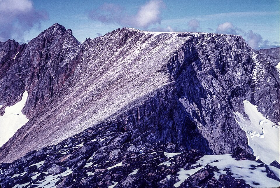
Landscape of the Selamiut Range
The Torngat Mountains are shaped by glacial landforms, including bowl-shaped corries and knife-edge ridges. Parks Canada notes that lichens coat rock surfaces near the summit alongside small moss patches. Inuit communities and their predecessors gathered plants across this region over millennia, a relationship with the land that long predates any written record of the mountain.
Two Names, One Summit
Quebec's Commission de toponymie assigned the name Mont D'Iberville in 1971, honoring Pierre Le Moyne d'Iberville, a seventeenth-century colonial figure. Newfoundland and Labrador designated the Labrador side Mount Caubvick in 1981, recognizing Caubvick, an Inuk woman among five Inuit who traveled to England with George Cartwright in 1772. The federal name register records the Eastern Canadian Inuktitut form of the name. Both designations apply to the same summit.
Early Documented Mountaineering
The Canadian Alpine Journal records Christopher Goetze and Michael Adler reaching the summit via Minaret Ridge in 1973, an early documented mountaineering ascent. Inuit knowledge of and travel across the Torngats extended well before any climbing record, and the 1973 account marks a point in the written mountaineering literature rather than the start of human presence on the mountain.