
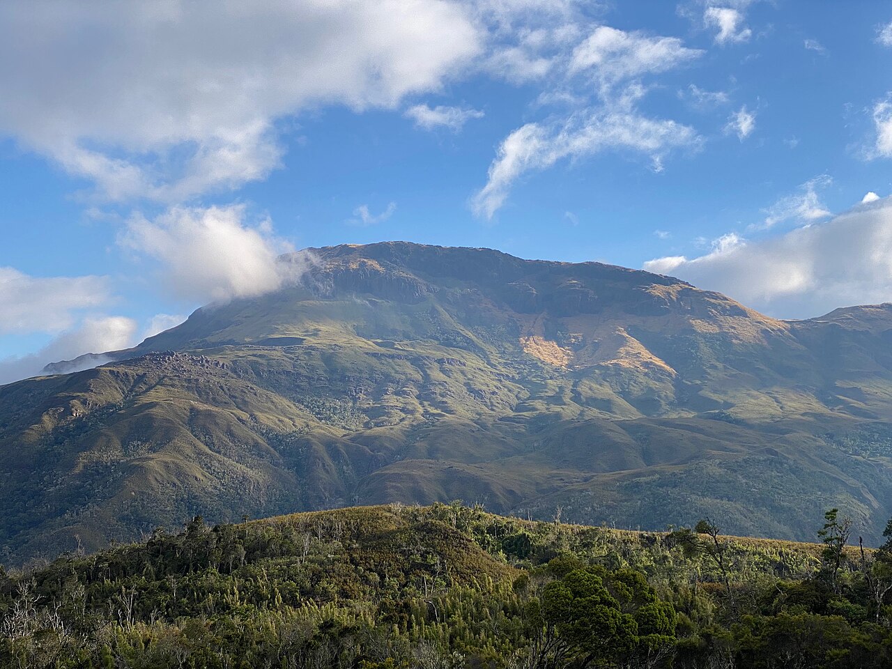
Watershed and Forest Zones
The headwaters of the Ramena, Sambirano, and Mahavavy rivers lie within the wider Tsaratanàna reserve, as documented by the Key Biodiversity Areas assessment and the Malagasy Protected Areas portal. This watershed function belongs to the massif as a whole. The KBA assessment records humid mid-elevation forests below roughly 2,000 metres and a dense bamboo belt between approximately 2,000 and 2,200 metres, marking a clear vegetational boundary on the ascent toward higher ground.
Above the bamboo belt, conditions change sharply. Researcher Georges Rossi's physical geography study of the massif records winter frost above 2,000 metres and low shrub cover on the upper ridges.
Sacred Sites and Ceremony
The Malagasy Protected Areas portal, citing Madagascar National Parks, records that the summit is among several sites within the protected landscape linked to joro — oaths or offerings. This documented ceremonial significance places Maromokotro within a living cultural geography tied to the massif.
Name and Elevation
The name appears in variant spellings across sources — Maromokotro and Maromokotra both recur in the literature. Its elevation of 2,876 metres establishes it as the definitive high point of Madagascar. That designation attaches to the summit specifically; accounts of the reserve's biodiversity, hydrology, and protected status apply to the broader Tsaratanàna Massif rather than to the peak alone.