
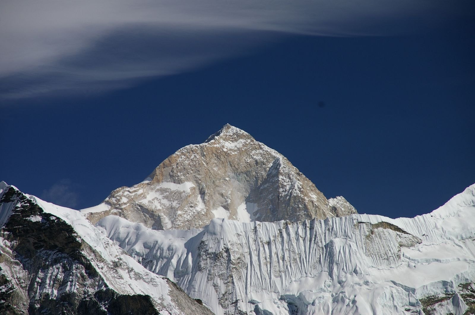
The First Ascent: From Reconnaissance to Summit
The expedition led by French mountaineer Jean Franco had already begun systematic preparation a year before the official summit bid: in 1954, a French team made a dedicated reconnaissance of Makalu, forming an initial assessment of the mountain's structure and potential climbing routes. This reconnaissance was independent of attempts by other teams during the same period and should not be conflated with them. On 15 May 1955, Lionel Terray and Jean Couzy were the first to reach the summit, the documented first ascensionists; subsequent members of the same expedition also reached the top in turn, making this one of the rare multiple consecutive summit records in Himalayan history.
In his original expedition report submitted afterward, Franco described the ascent as the result of thorough preparation and teamwork rather than a fortuitous breakthrough. The report clearly distinguished the order and timing of each summiteer, providing a reliable primary-source foundation for subsequent Himalayan archival research.
Geographic Location and Mountain Form
Makalu stands on the Himalayan main ridge along the China–Nepal border; according to official records from Tibet's water resources authorities, its precise geographic attribution straddles the two countries' borders. The mountain's main body is centred on a four-sided pyramidal rock structure with extremely steep faces, with mixed ice-and-rock zones extending down to the confluence areas of several glaciers. It should be noted that although Makalu and its satellite peak Makalu II are geographically adjacent, the two are considered separate independent peaks in climbing terms and should not be counted interchangeably in each other's summit records.
Establishing the Elevation Figure
The elevation figure now widely accepted for Makalu is 8,485 metres. Earlier expedition documents contain several figures that differ from this, reflecting differences in measurement methods and datum selection across different historical periods, rather than any genuine dispute about the mountain's height. When citing Makalu's elevation, 8,485 metres should be used as the standard reference, and figures from older expedition records that differ from this should be treated with caution and not cited directly without attribution.