
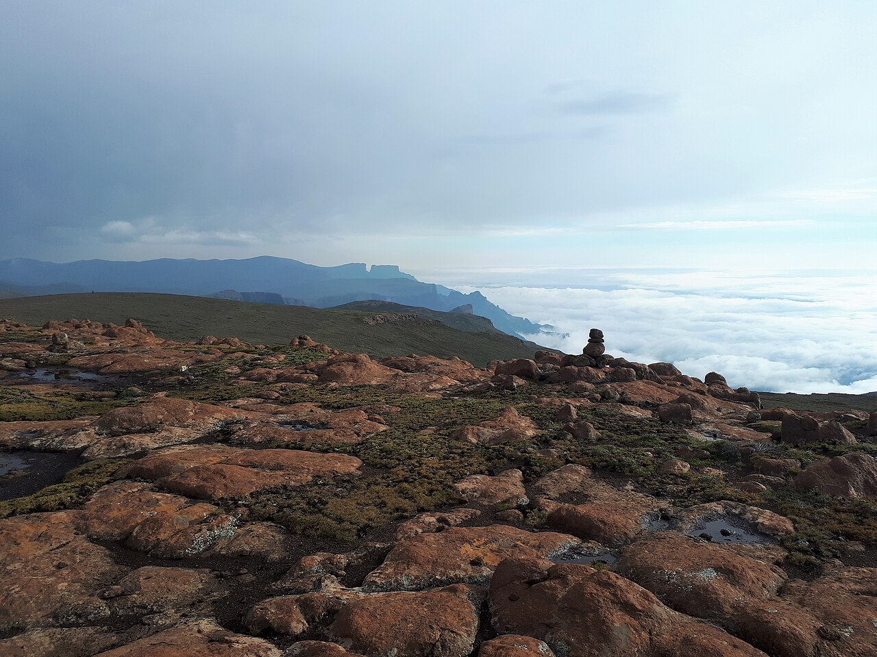
A Flat Summit and the 2002 Mountain Club Survey
In April 2002 members of the Mountain Club of South Africa, led by surveyor Jimmy Stone, ascended Mafadi to resolve uncertainty about its precise elevation. The summit plateau is broad and flat, with several candidate rocks presenting no single obvious high point. The team selected a fixed reference point and logged GPS readings there for roughly eight hours, producing the figures that confirmed Mafadi's status as South Africa's high point.
Elevation Records Across Published Sources
Published elevations for Mafadi vary slightly across authoritative sources: the KwaZulu-Natal Department of Economic Development and Tourism provincial report states 3,451 m, the UNESCO nomination map gives 3,446 m, and the Drakensberg Hikes peak inventory lists 3,450 m. These differences reflect the distinct reference systems used in GPS ellipsoid and geoid measurements rather than disagreement about the peak's identity or location.
World Heritage Designation and the Maloti-Drakensberg Park
Mafadi sits within the Maloti-Drakensberg Park, inscribed as a UNESCO World Heritage Site in 2000 and extended as a transfrontier property in 2013. The park is recognised for its outstanding universal value in both natural and cultural heritage, encompassing the high escarpment, the uKhahlamba Drakensberg range, and significant San rock art sites documented in the UNESCO nomination dossier.