
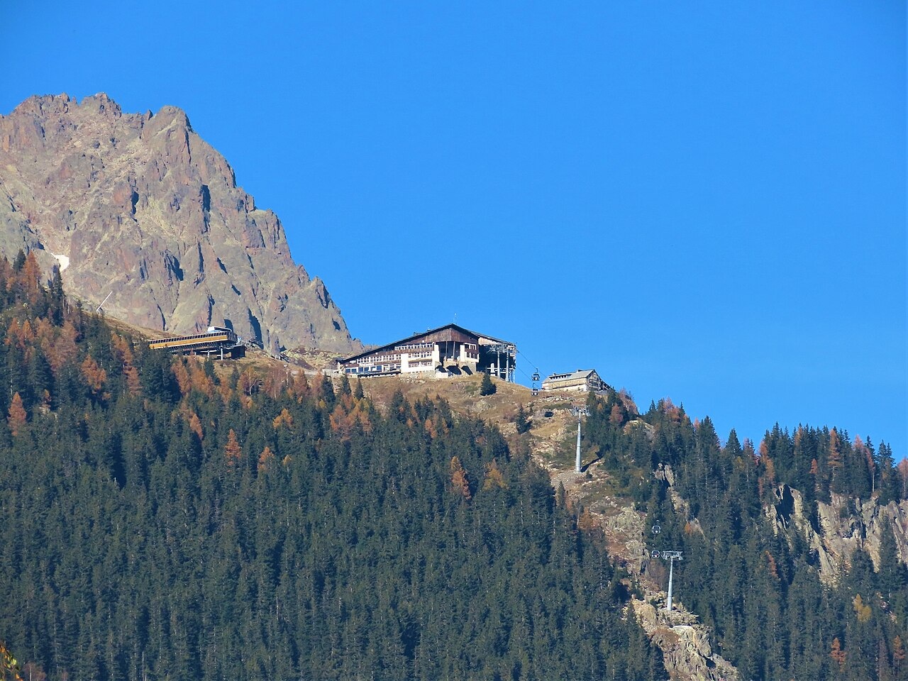
A Glacially Formed Shelf Above the Valley
Geologist Maurice Gidon's field mapping of the Aiguilles Rouges, published through Université Grenoble Alpes, distinguishes the Chamonix-side slopes from the Aiguille du Belvédère and identifies a line of shoulders near 2,000 m sitting above steeper, forested ground. Gidon attributes the form of this elevated line to the former large valley glacier that occupied the steeper ground below during its deepest extent. The shelf faces directly across the valley toward the Mont Blanc chain.
Lac de la Flégère occupies the historic high grazing land of the terrace, while Lac Blanc lies farther into the Aiguilles Rouges landscape — the two lakes are separate features in both cartography and conservation planning. Environmental documents from Auvergne-Rhône-Alpes and the Chamonix municipal authority distinguish the ski infrastructure at Flégère from the adjacent protected terrain of the Aiguilles Rouges, which shares this hillside setting.
Summer Pastures and an Early Inn
Jean-Michel Cachat's notebook, reproduced by the Société Savoisienne d'Histoire et d'Archéologie, records summer pasture use at La Flégère across the late eighteenth century. In 1790, Cachat counted 89 cows and 11 heifers ascending to the alpage on 28 June, with ongoing dated summer herd records providing evidence of sustained agricultural use of the terrace well before any permanent tourist infrastructure.
Geologist Alphonse Favre, in his published geological investigations, records staying at the La Flégère inn before 13 August 1847. On returning from Lac Cornu he observed two old lateral moraines between the inn and the Aiguille de Charlanoz. Favre's account provides an early primary-source reference to a structure at this location, though it carries no detail about the building's origin or its relation to any later facility on the site.
Cable Infrastructure and Conservation Designation
The municipal bulletin of Chamonix-Mont-Blanc from January 2021 records that a new gondola with ten-seat cabins was inaugurated in 2020. A 2019 municipal bulletin had documented the removal of the original pylons and the rebuilding of the terminals as construction proceeded. The upper station serves the hillside at an elevation the municipality describes as around 1,900 m.
The Réserve Naturelle Nationale des Aiguilles Rouges was established in 1974 across the communes of Chamonix and Vallorcine, with Lac Blanc among its prominent destinations. The 2015 Natura 2000 objective document for the Aiguilles Rouges site names the ski sectors that fall outside the conservation boundary and places the hillside and its lakes within the broader protected setting, reflecting longstanding stewardship of this alpine landscape.