
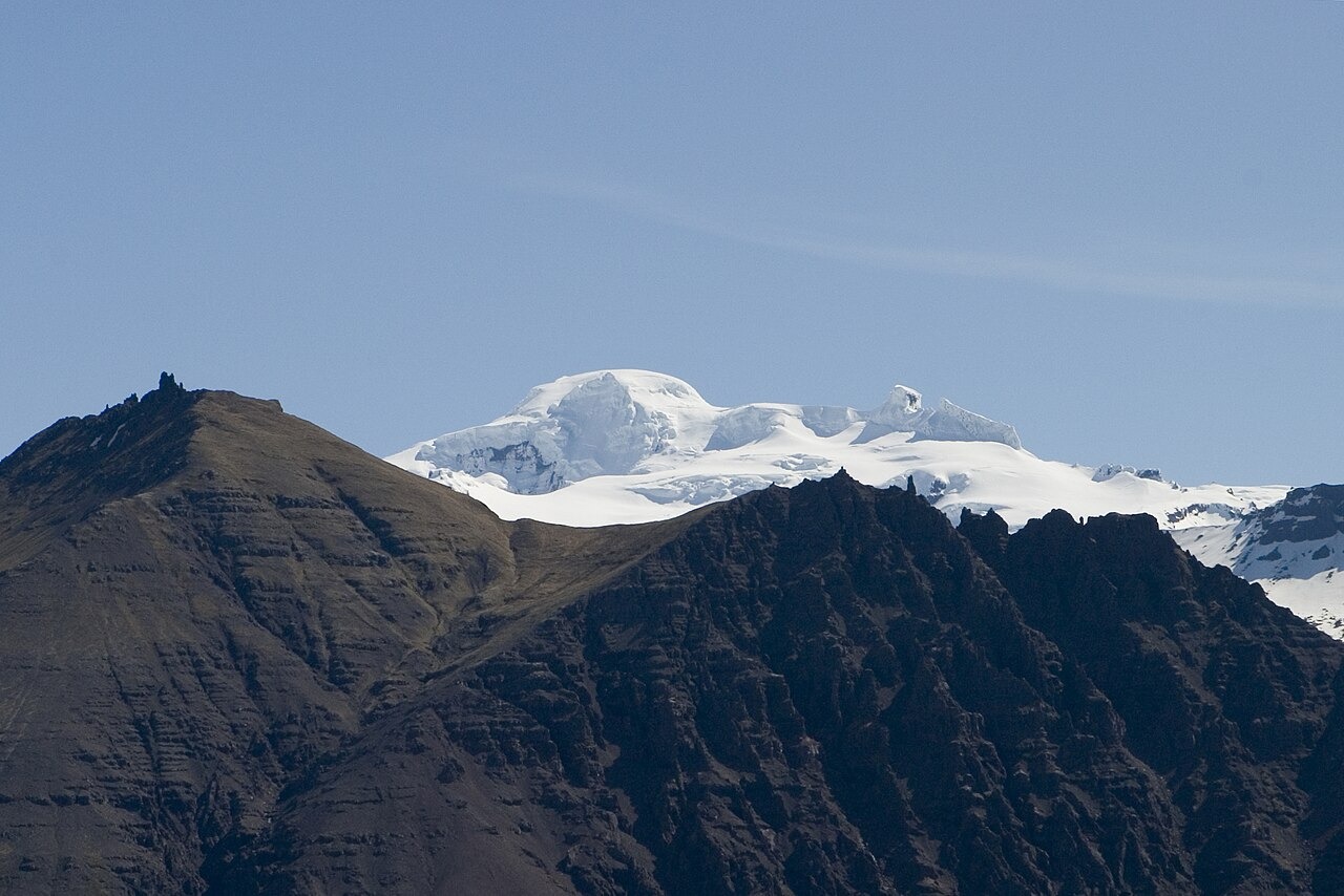
Survey and Position
The National Land Survey of Iceland established the summit elevation at 2,109.6 metres in its 2005 GPS survey, superseding an earlier listed figure of 2,119 metres that appeared in the same annual report. The difference reflects the change from one measurement method to another and does not constitute a confirmed record of ice loss. The Icelandic Meteorological Office describes the summit as lying on the northwestern rim of the Öræfajökull caldera. A field operator's summit-page coordinate places the peak at approximately 64.014°N, 16.677°W, consistent with the Meteorological Office's northwestern rim description and correcting a map marker positioned roughly 17 kilometres to the east.
Öræfajökull and the Ice Cap
Öræfajökull is a stratovolcano forming the southernmost part of the Vatnajökull ice cap, Europe's largest glacier by volume. Vatnajökull National Park describes the ice cap as covering the volcanic system beneath a continuous sheet. The summit of Hvannadalshnjúkur is distinct from both the volcanic system below and the broader ice cap above; it is the high point of the caldera rim where all three converge.
Eruptions and Glacial Floods
Öræfajökull erupted in 1362 and again in 1727, both events documented by the Icelandic Meteorological Office and Vatnajökull National Park. The Meteorological Office's geological records describe how eruptions beneath the ice cap generated glacial floods, known as jökulhlaups, that carried volcanic debris across the surrounding lowlands. The 1362 eruption left deposits that remain part of the stratigraphic record studied in assessments of the volcano's history.