
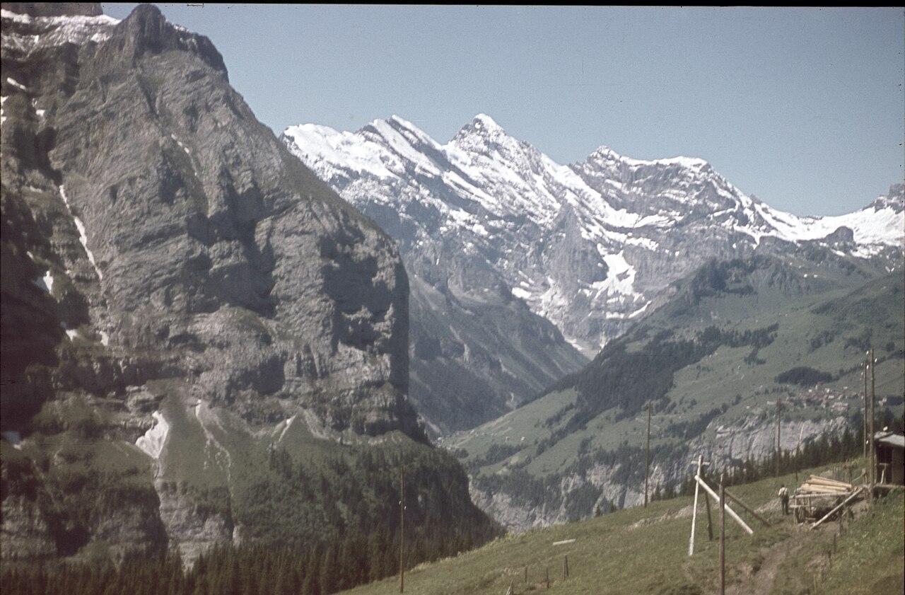
The Leiterngrat and the Mountain's Structure
The Swiss Alpine Club identifies the Leiterngrat as a discrete geographic feature of the Gspaltenhorn, distinguishing it from the broader cirque topography that frames the peak. The ridge runs from the northwest, and its name — Leiterngrat, suggesting a ladder-like character — reflects the step-by-step nature of the rock formations along that line. This kind of named sub-feature is common in the Bernese Oberland, where the density of peaks and approaches demanded precise local vocabulary long before systematic cartography arrived.
First Recorded Ascent and the Role of Alpine Guides
The first recorded ascent of the Gspaltenhorn took place in 1869. The Alpine Journal includes the name of guide Jakob Anderegg in its account of that climb, placing the ascent within a period when professional mountain guides from the region were central to opening routes across the Bernese and Pennine Alps. Anderegg's presence in that record connects the Gspaltenhorn to the broader mid-Victorian era of systematic first ascents across the Swiss high peaks, though the full composition of the 1869 party is not established in the available sources.
Earlier Names and the History of Bernese Cartography
Historical research into Bernese mountain nomenclature reveals that the peak appearing today as the Gspaltenhorn was recorded under different names in earlier panoramas and surveys. Forms including Rothe Zähne and Büttlassenhorn appear in those older sources, illustrating the variation in local naming and the inconsistency that marked cartographic practice before standardisation. These alternate labels are not myths or legends but surviving evidence of how individual mapmakers, sketch artists, and local informants each recorded the mountain according to their own vantage point and vocabulary. The name Gspaltenhorn — evoking a split or cleft form — eventually prevailed on official Swiss maps, though the earlier designations remain visible in archival panoramas.