
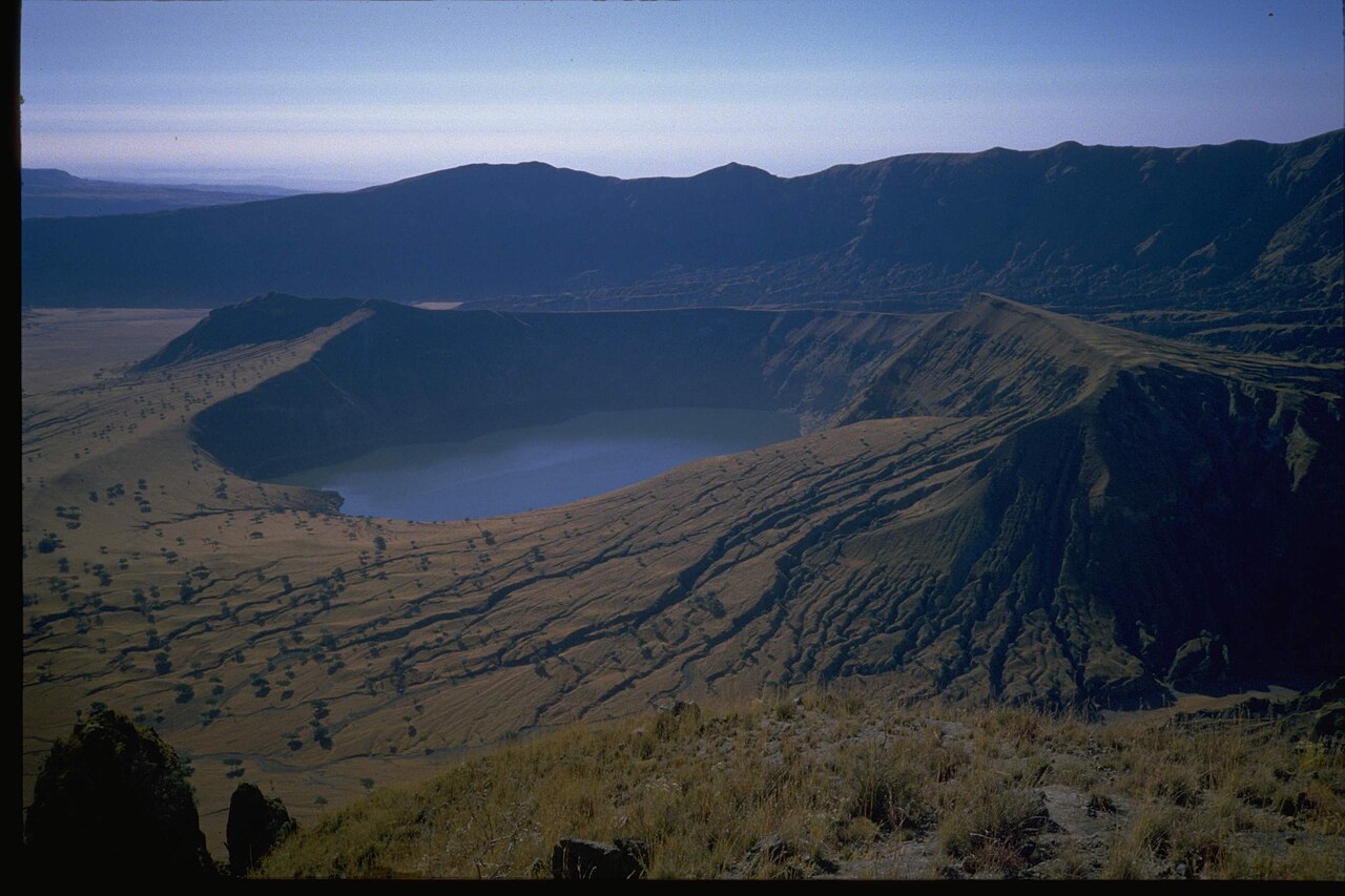
Formation of the Deriba Caldera
NASA astronaut photography of the site attributes the caldera's formation to an explosive eruption approximately 3,500 years ago. The Smithsonian Global Volcanism Program separately records an eruptive episode at around 2000 BCE within the broader Jebel Marra volcanic field. These findings together place the caldera among the geologically younger volcanic features of northeastern Africa.
Two Lakes Within the Outer Wall
NASA imagery documents two distinct lakes inside the outer caldera. One occupies a younger crater cone within the caldera floor, while the other lies against the northeast side of the outer wall, giving the two bodies of water markedly different geometries. Sediment traces visible in the imagery indicate historical drainage patterns across the caldera interior.
Heritage Recognition and Research Record
Sudan has placed Jebel Marra and the Deriba Caldera on its UNESCO World Heritage Tentative List, a formal step in the nomination process for outstanding natural sites. The dossier submitted with that listing confirms the 3,042-metre summit elevation. The site is additionally documented through the Smithsonian Global Volcanism Program and NASA's Earth Observatory astronaut photograph collections.