
The summit in the records
Luis Risopatrón recorded an elevation of 4,865 m in his Diccionario Jeográfico de Chile of 1924 and placed the summit near the headwaters of the Río de Los Molles on the Chilean side. He also noted the name Morro de Guana. The boundary demarcation report published in 1905 lists the peak between the Ventillo and Guana passes, with the spellings El Ventille and Huana. The report documents fieldwork carried out during the summers of 1899, 1900, and 1901.
Two stages of the cordillera
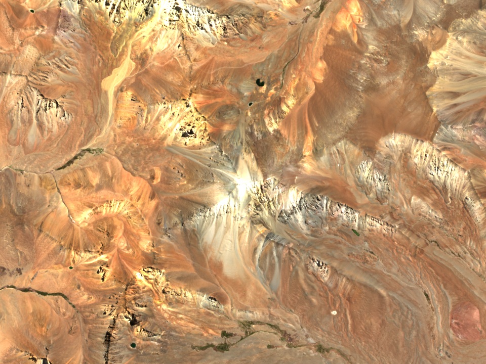
The 1996 map by Heredia, Rodríguez Fernández, and Ragona places the summit at 4,855 m. At a regional scale, the authors identified normal faults that promoted basin opening during an extensional phase. Some of these faults were later reactivated in reverse during Andean shortening. In the Argentine sector studied, the earliest deposits of that phase date to the Oligocene. The March 2026 satellite image shows the ridge crest and the furrows of the slopes.
The Guana pass and the summer grazing
In 2011, Sonia Véliz Codina documented the seasonal herding by Chilean herders who took their livestock to the high wetland pastures of Los Patos Norte in the Río Melchor basin. In 1817, the column led by Juan Manuel Cabot crossed the valley and entered Chile through the Guana pass, heading toward Coquimbo. Further south, José de San Martín led the main column of the Army of the Andes through the Paso de los Patos.