
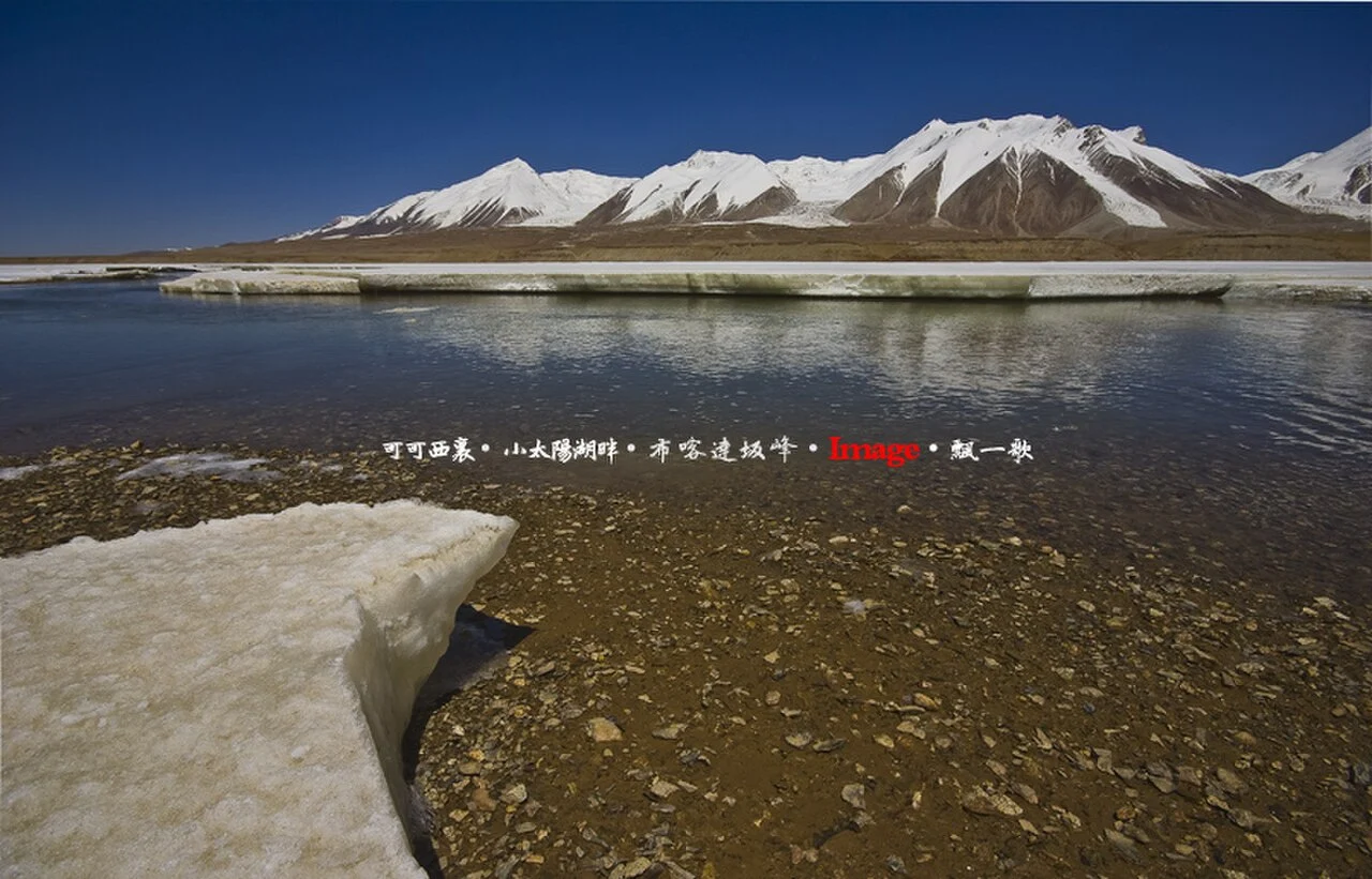
Kunlun Setting and Hoh Xil Plateau
The peak stands above Sun Lake where the Kunlun ranges meet the northern Hoh Xil plateau. UNESCO inscribed Hoh Xil as a World Heritage Site in 2017, recognising the region's high lakes and wildlife populations including Tibetan antelope. Forestry patrol accounts from the surrounding terrain record wild yak and Tibetan wild ass across the plateau below the summit zone.
Xinqingfeng Ice Cap and Glacier Record
The 2006 Chinese Glacier Inventory recorded 77 glaciers on the Xinqingfeng ice cap with a combined area of 425.4 square kilometres. Research drawing on map data, Landsat imagery, ASTER data, and radar subsequently measured mass loss at Xinqingfeng of 0.22 ±0.17 metres water equivalent per year between 1999 and 2012.
Summit Names and Elevation Source
The National Forestry and Grassland Administration designates the peak Bukadaban Peak and records its elevation at 6,860 metres. The names Qingxin Feng and Xinqingfeng reflect the mountain's position on the Qinghai–Xinjiang administrative boundary. The 2006 glacier inventory and subsequent remote-sensing studies form the primary published scientific record for the peak and its ice cap.