
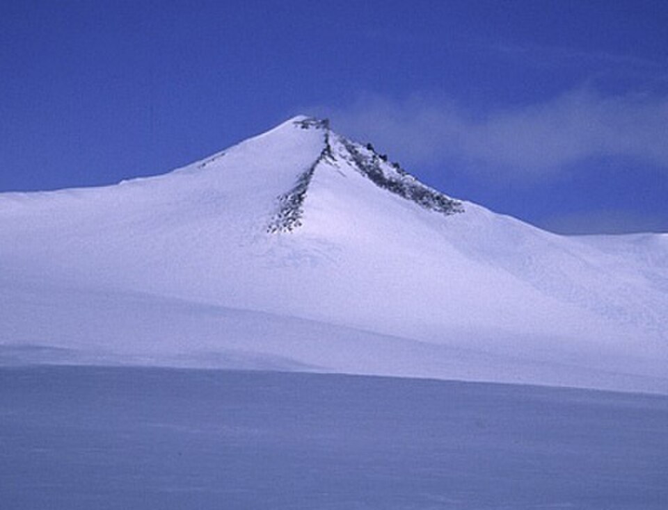
First Ascent and Summit Verification
The first documented mountaineering ascent took place on 7 June 1967, carried out by surveyor Keith Arnold as part of a British Royal Air Force expedition. Geoffrey Hattersley-Smith is identified as a participant in a later American Alpine Journal account of the same expedition. A 1982 party subsequently left a separate record on the summit. A later expedition reached the top, took two GPS readings, and found a register containing entries from both earlier visits; that report also corrected a discrepancy between the peak's actual location and its placement on a previous sketch map.
During the 1967 expedition, Hattersley-Smith collected a specimen of Grimmia moss at approximately 2,500 m on Barbeau Peak, a field observation recorded independently of the summit elevation. Parks Canada identifies the peak as the highest point in the Canadian Arctic.
Naming and Commemoration
The peak was formally named in 1969 to honour Marius Barbeau, the ethnologist and folklorist. The commemoration is documented in the journal Culture and Tradition, which recorded the naming as part of a broader recognition of Barbeau's contributions to Canadian cultural scholarship.
Quttinirpaaq National Park
Barbeau Peak lies within Quttinirpaaq National Park, which Parks Canada manages cooperatively with Inuit through a joint park management committee. The park's 2023 management plan acknowledges the ancestral connections of nearby communities to the surrounding landscape and identifies research on changing Arctic conditions as a priority for the park's future.