
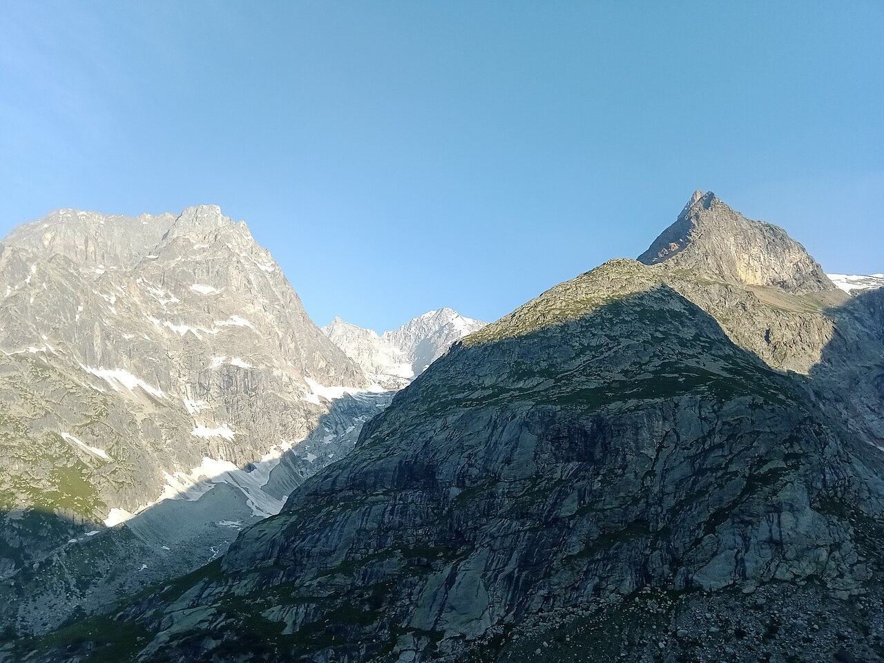
Ice Basin and Glacier Morphology
The French geological heritage inventory describes the Talèfre Glacier occupying a cirque roughly 4 km across, with Aiguille de Talèfre forming one of its bounding ridges. Granitic spurs between subsidiary ice basins produced approximately ten parallel bands of debris where tributary ice streams converged, forming medial moraines still legible in the topography. The cirque floor stands roughly 400 metres above the Leschaux Glacier, a difference attributed to long-term differential glacial erosion. As ice levels lowered, bedrock was exposed and separate tongues of ice became detached, and the inventory records that the Talèfre Glacier detached from the Mer de Glace in the 1940s.
The Valle d'Aosta government's environmental study identifies the summit ridge at about 3,730 m as a topographic boundary delimiting the upper Italian Val Ferret water basin, confirming that the peak functions as a watershed divide between drainage systems on opposite flanks of the massif.
First Recorded Ascent, 25 August 1879
The first recorded ascent was made on 25 August 1879 by J. Baumann, F. J. Cullinan, and G. Fitzgerald, accompanied by guides Laurent Lanier, Émile Rey, and Joseph Moser. In his account published in the Alpine Journal in 1880, Cullinan credited Lanier with identifying a viable line while descending the Aiguille du Midi and with leading the party to the summit. The team departed Montenvers by lantern, crossed the Glacier de Leschaux and the Glacier de Pierre-Joseph, and worked through the mountain's mixed rock and snow terrain before reaching the top.
The Club Alpino Italiano archive corroborates the composition of the first ascent party, listing the same guides under slight spelling variants — Emilio Rey and Josef Moser — alongside the three climbers. Cullinan's first-person narrative remains the principal record of the approach and the particular role the guides played in its success.
Later Routes on the North Face and Southeast Ridge
The Club Alpino Italiano journal reported in December 1931 that Walter Brunschwiller and Octave Croman-Schaub completed the first recorded ascent of the north face on 1 July 1930. Their route took a steep mixture of ice and rock descending toward the Talèfre Glacier on the French side of the peak, a line distinct in both aspect and character from the approach used by the 1879 party.
A 1928 first-person account by Francesco Ravelli, published by the Club Alpino Italiano, describes a southeast-face route on Aiguille de Talèfre and a ridge traverse continuing toward the Petite Aiguille de Talèfre and the Aiguille de Pierre-Joseph, linking several distinct features in a single reported itinerary. The Petite Aiguille de Talèfre is a distinct named feature in close proximity to the main summit.