
Ridge and summit elevation
Mountaineer Hamish Brown records the northern top at 3,547 metres, describing it as the last peak on the crest and especially visible from Imlil in the valley below. A firsthand traverse from 2010 independently documents the northern top as a separate objective from the higher main summit to the south, even though it carries the same Aguelzim name.
Watershed, pastoral land, and the Tizi n'Aguelzim
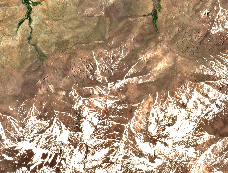
The 2017 national park management plan places the Aguelzim ridge on the western side of the Rherhaya watershed. Eastern slopes drain into the upstream Aït Mizane valley. Western slopes descend toward the Azzaden valley. Both the 1994 topographic map and the park plan's azib inventory identify Tamsoult as a long-established seasonal pastoral site on those western slopes, distinct from the Lépinay mountain refuge in the same area. A walking traverse account and the Geographica route document describe switchbacks ascending to the Tizi n'Aguelzim saddle, the col between the Lépinay refuge side and the Toubkal refuge side.
Habitat observation below the ridge
On 6 March 2007, researcher Alexander Westerström recorded a dwarf Atlas viper at 2,895 metres on rocky ground below the Aguelzim ridge, at approximately eleven in the morning. His field note, published in Herpetozoa in 2010, describes the site as a dry rocky slope with scattered plants and remaining patches of snow. The scientific name used in that publication is Vipera monticola.