
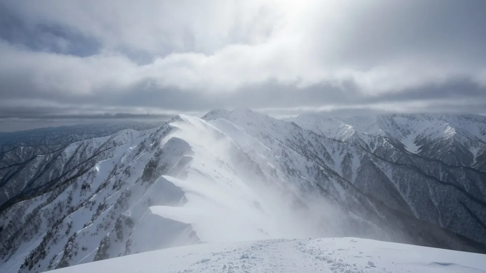
Winter conditions on a ridge can differ greatly from those at the trailhead. Use weather charts for the larger pattern, then check the wind, temperature, snow and visibility at the elevations and times of your trip.
Japan’s winter pressure pattern
A common winter pattern has high pressure over the Asian continent and low pressure to the east of Japan. It can bring a cold northwesterly flow. Air crossing the Sea of Japan can pick up moisture and produce snow on windward mountains.
Surface isobars often extend roughly north to south in this pattern. Snow can be heavy on the Sea of Japan side. The Pacific side can be clearer while ridges still have strong wind, and a low passing along the south coast can bring heavy snow there as well.
Upper-air charts can provide context about incoming cold air. JMA publishes charts for pressure levels such as 500 hPa. That pressure surface varies in height. An upper-air temperature or a single cutoff cannot establish whether a ridge will be safe.
Compare the charts with official snowfall and wind forecasts, local mountain information and warnings. Conditions differ between ranges and even between slopes on the same mountain.
What isobar spacing tells you about wind
Isobars connect locations with the same pressure. Closely spaced lines indicate a stronger pressure gradient and can be associated with stronger winds. A surface chart does not give the wind speed or gusts at a particular ridge.
Terrain and wind direction can change conditions at passes and along ridges. Check forecast sustained wind and gusts for the elevations and hours you will reach. Avoid applying a fixed multiple to a valley forecast.
Wind and cooling
Wind can make balance harder and increase heat loss from exposed skin. Wind chill depends on air temperature and wind speed. Wet clothing adds cooling of its own. Plan clothing and shelter from the actual route forecast.
Use the wind, air temperature, snowfall and visibility together. If the group cannot move with control, navigate or stay warm in the expected conditions, choose a sheltered route or postpone.
Check the full descent and possible waiting points. Wind can also transport loose snow and form slabs in some areas. Get local avalanche information where available and assess the terrain separately from the weather chart.
Assessing a window of better weather
A moving high can bring a period of more settled weather. Compare the forecast duration with the time you need for the entire hike and allow for delays and a safe descent.
A lull or clear sky can occur between weather systems. Conditions can deteriorate again if a front or low approaches. Watch for rising winds, new snow and declining visibility along your actual route.
Compare charts and forecasts for successive valid times. Recheck the update on the morning of departure and check local warnings before committing. Leave enough time to turn back if the timing changes.
Winter forecast checklist
- Read the surface chart for pressure systems and the overall wind pattern.
- Use upper-air charts as context and check local forecasts for snow, temperature and gusts.
- Compare successive forecast times with your route and the time needed for descent.
- Check warnings, closures and current local snow and avalanche information.
- Agree where and when to turn back if wind, snow or poor visibility affects movement or navigation.
Before setting out
Choose a route the group can complete in the expected conditions and has the skills and equipment to reverse. Check the latest forecast and local trail or access notices. If wind, snowfall, avalanche terrain or visibility leaves an uncertain retreat, change the route or postpone.
After the outing, compare the forecast with the conditions you encountered. Use the differences to improve planning for the next trip.
References and sources
- Japan Meteorological Agency, Nagano · Seasonal weather charts
- Japan Meteorological Agency · Heavy snow from lows along the south coast
- Japan Meteorological Agency · Heavy snowfall information
- Japan Meteorological Agency · Current and forecast weather maps
- Japan Meteorological Agency · Upper-air and forecast charts
- Japan Meteorological Agency · Warnings and advisories
- Met Office · How to read a mountain forecast
- Nagano Prefecture · Winter mountain safety
- Avalanche Canada · Wind slabs and terrain