
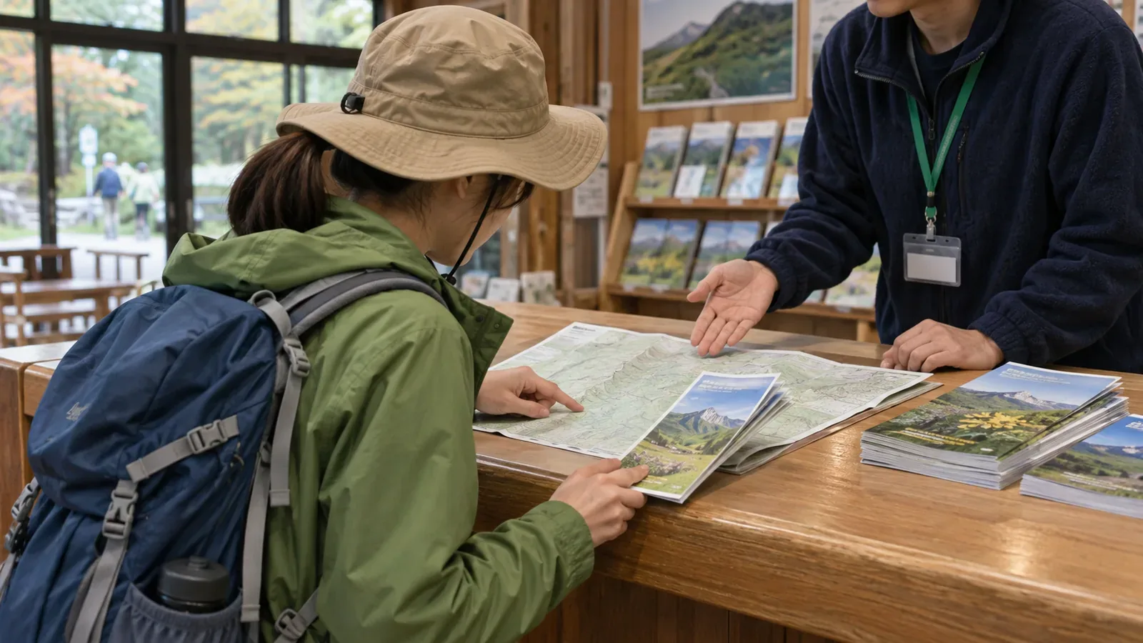
Check when the information in a visitor center map or brochure was current before relying on it. A review of official pages on November 4, 2026 showed that centers date their materials in different ways. If you cannot find when a map or brochure was issued, use it for an overview of the terrain or facility locations. Check closures and event conditions with a current source before making plans.
How visitor centers date their information
Lake Shikotsu Visitor Center says its newsletter comes out in the middle of each month and lists the October 2026 issue, Vol. 202. The month and volume number help identify when it was published. The homepage also links to PDFs of a walking map and a pocket guide. If an introduction simply calls a guide new, check the cover, publication details, and map notes in the actual PDF or booklet for its edition and when the information applies.
Nasu Highland Visitor Center posts dated trail updates on lingering snow, repairs to sections with fixed chains, and walking trail closures. An older snow report gives conditions as of May 8 and adds that they change with temperature and weather. The page includes reports from several years, so read them in the context of the date they cover. When only the month and day stand out, look for the year to avoid confusing an older report with this year's information.
The pages reviewed for the Nasu FAQ, Mitake Visitor Center, and the Tanzawa homepage showed no update date. Mitake says its ground-floor exhibits include current hiking information, which it describes as available in real time. Check at the center or through its official updates for the latest conditions. Tanzawa directs visitors to individual center blogs for seasonal nature and trail reports and to the Tanzawa Hiking page for closure notices. The location and dating of trail information depend on the center and the type of report.
Look for three different dates
For each source, identify when it was published, when the information was current, and how long it applies.
The publication date tells you when the paper or PDF came out. The observation or information date tells you when the conditions described were current, as in a report marked “as of May 8.” The period of validity tells you when you can use the information, such as the date of an event or the booking window.
For example, Lake Shikotsu's fiscal year 2026 program lists a November 3 workshop, a November 7 giant-tree walk, and a quiz trail in October. When checked on November 4, the walk was marked fully booked, the quiz trail was marked finished, and the workshop date had already passed. An event page can remain online after bookings close. Check both the date and the latest registration status. The center later reported that it canceled the November 7 walk because of snowfall.
Make a record of your maps and brochures
Before the hike, put the maps and brochures you have into a single table. Write it at home or stop at a rest area or another place with stable footing where you can stay out of other people's way. Set up five columns for the name, source and date obtained, whether the month and year of publication are given, the kinds of information it contains, and the area it covers. For the publication entry, record whether the date is present, the year is missing, or the date is missing altogether. Examples of information types are terrain and facility locations, closures, and events.
Record the coverage because similarly named visitor centers can serve different areas. Nasu Highland Visitor Center is described as the hub for the entire Nasu-Kashi area of Nikko National Park, while Nasu Heisei-no-Mori Field Center covers Heisei-no-Mori only. Write down which center provided the material so you can check later whether it covers the section you plan to hike.
Record the publication month and year separately from any “as of” date printed on the material. If you see only the month and day, check the year and write “year unknown” if you cannot find it. Keep the date you collected the booklet or downloaded the PDF as a separate entry, and save the original URL. Use undated maps to get a general picture of the terrain and locations, and check a current source for trail changes or facilities that have moved. Use up-to-date information to decide whether a trail is open or an event is available.
Ask staff about dates and where to check for updates
At the counter, start with three questions. When was this map or brochure published, and is a revision planned? Which details tend to change? Where should I look for the latest closure notices and event updates?
The answer to the last question varies by facility. Tanzawa has a dedicated page for closures and separate center blogs for seasonal trail conditions. Its visitor centers answer questions about current land leech activity and precautions. Tanzawa also asks hikers to file a hiking plan, carry a map and a light, and descend before sunset. Check the date of your paper map before taking it with you.
Nasu's trail reports warn against assuming a summer route or pink ribbons make the way easy to follow. They urge hikers to be prepared to turn back even where there is an emergency shelter. They also recommend carrying a 1:25,000 map and using maps and GPS in lingering snow. If you cannot date a source or confirm conditions for a section through other official information, take that section out of your plan or make it possible to turn around before reaching it. Decide on that limit before setting off with undated material.
Summary
Official pages use several kinds of dates. Some show a publication month and volume, others give an “as of” date, and some leave the update date unclear. Record publication, observation, and validity dates separately, and note any missing year. Use undated material for an overview of terrain and facility locations. Confirm closures and event details with visitor center staff or current official notices. That way, you can make the same checks with either an older map or a new one.
References and sources
- Lake Shikotsu Visitor Center
- Lake Shikotsu Visitor Center Nature Events, Fiscal Year 2026
- Nasu Highland Visitor Center FAQ
- Mitake Visitor Center | Tokyo Metropolitan Government Bureau of Environment
- Tanzawa Visitor Centers | Kanagawa Park Association
- Nasu Highland Visitor Center Trail Information
- Lake Shikotsu Visitor Center, October 2026 bulletin