
Once you can read a bridge symbol, check separately whether the bridge is usable. We use GSI map standards and local notices of bridge damage and the lifting of a closure, consulted on October 28, 2026, to show how to match a notice to the same bridge and the date you need. This is a pre-trip check of published information. Inspecting a bridge in the field is a different task.
Separate the bridge on the map from information about its current condition
GSI uses its road-bridge symbol for bridges over rivers, grade-separated crossings and elevated sections. When you find a symbol, check what the structure crosses. A bridge does not always mean the path drops to the valley floor and climbs back up on the far side.
GSI’s explanation says the bridge symbol flares at both ends so it is distinguishable from the road. The 1:25,000 display standards use a solid line on the bridge portion of a footpath. Read the symbol together with the trail on both sides where it interrupts a dashed line.
The standards use the approximate length of a bridge on the map, how well known it is and whether a label would help describe the area to decide whether to print its name. Where a bridge is unnamed, match the trail, the river it crosses and nearby landmarks to identify it.
At this stage, you have worked out which bridge the map refers to. Next look for notices of damage, repair work and restrictions. The cases below show how access changes after specific events on particular dates. The map symbol alone cannot supply that information.
Read closure and reopening notices for the specific bridge
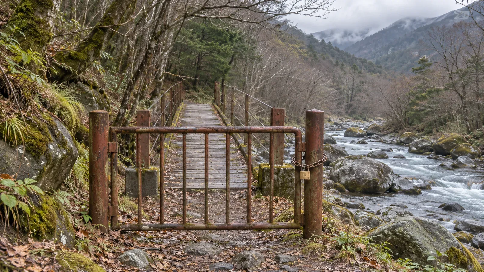
In a notice updated August 7, 2026, Agano City said damage confirmed that day made the Marutabashi log bridge at Uodome Falls on the Gozu Range trail unusable. The city said it would post another notice on the same page when the bridge could be used again. We consulted the notice on October 28, 2026.
The attached map identifies the log bridge at Uodome Falls and marks the closure in red. Reading the bridge name alongside its position makes clear which bridge in the Gozu Range the notice covers. The map alone does not establish that another route is available as a detour.
In a separate example, Niigata Prefecture announced the lifting of a closure on section F-4 of the Chubu Hokuriku Nature Trail, the Myoko Kogen Waterfall Circuit. It concerned the suspension bridge at Tohoku Electric Power’s Nishino Power Station in Suginosawa, Myoko City. The bridge had been closed since May 2025 because of damage and reopened from September 2, 2026, after repairs were completed.
The prefecture’s map circles the suspension bridge near Nishino Power Station to show where the closure was lifted. It is a different bridge from the log bridge in Agano. A reopening notice for one does not establish that the other has reopened. Match the bridge name, location and affected trail together.
The prefectural page was updated on October 27, 2026. The reopening took effect on September 2. The date at the top of a page can differ from the date of the event. These examples describe what was published when we checked, so consult the current notice and conditions for your trip.
Match the dates and trail section before leaving
We suggest starting with the official information from the municipality, park or manager that oversees or lists your trail. Compare the bridge name and the affected section with the map. Photos and trip reports can add context. An official closure still applies until the responsible body confirms a change.
In your notes, record who issued the notice, the page update date, when the closure or reopening applies, which section it covers and when you checked. If you searched by bridge name, make sure the result refers to the same bridge and the same trail. Record whether the notice covers the full route or only a section around the bridge.
Niigata Prefecture says it updates construction locations and dates as needed. A saved copy from the day you planned the hike can be supplemented by opening the original page before leaving. If the notice is unclear, use the contact details on the page to resolve it before reaching the bridge.
“I couldn’t find a reopening notice” records a different check from “The manager confirmed it is still closed today.” An old notice that the bridge is unusable gives you no basis to assume it has reopened. Write down exactly what you checked and what the source said.
Check how the route would work if the bridge were unavailable
Before setting out, check whether your planned out-and-back or loop works without the bridge. If retreat would require crossing the same bridge again, tell the people hiking with you. In addition to writing “we can turn back,” identify any bridge needed for the return. This is our way to check how the route depends on the crossing.
A different path on the map still requires a current access check. Avoid going down to the river to bypass a closure, climbing around a damaged bridge or treating an unnamed line as a detour. If the authority lists a detour, check the section it covers and its conditions of use.
Follow closure and no-entry signs in the field. If the bridge differs from the one you identified, or if the conditions have changed, resolve the discrepancy without crossing. This article gives no rule for diagnosing a bridge from the deck and railings or deciding what water level is safe to cross.
Give the trip notes one field for bridge identity and another for conditions of use. This makes it easier to catch a crossing that you can read on the map but have yet to verify. Use the notes to identify open questions before confirming the plan.
Check the symbol, the notice for that bridge and the date
A bridge symbol helps you find the crossing. To decide whether you can use it, check the published information on damage, repairs, works and restrictions for that same bridge. Keep the closure in Agano and the reopening of the separate suspension bridge in Myoko tied to their own locations.
Record the bridge name and location, the trail section, who published the notice, the date it took effect and when you checked. Revisit the source before leaving, while you can still change your itinerary if the bridge is unavailable.
References and sources
- Geospatial Information Authority of Japan (GSI): 2013 Topographic Map Display Standards at 1:25,000, Article 26, symbol 27 (including the March 30, 2026 amendment)
- GSI: Map Symbols — Road Bridges
- Agano City: August 7 Notice on Damage to the Marutabashi Log Bridge at Uodome Falls on the Gozu Range Trail (updated August 7, 2026, accessed October 28)
- Niigata Prefecture: Facilities in Natural Parks and Related Areas (updated October 27, 2026, accessed October 28)