
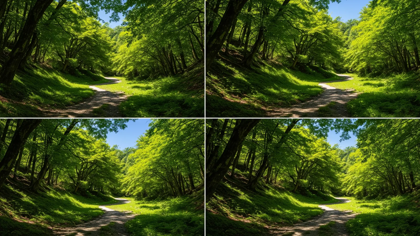
Day hikes around Kantō range from short walks to sustained climbs. Here are six options, with a look at the technical difficulty of the trail and the physical effort involved.
Technical difficulty and physical effort
When choosing a day hike, keep in mind that technical difficulty and physical effort measure different things.
Technical difficulty describes the nature of the trail, including whether it is broad and well maintained, has rock or chains, or is easy to lose. Physical effort reflects distance, total climbing and walking time.
A long trail can be tiring even if it is flat and well maintained. A short route with steep rock may require careful footwork. Consider both when choosing.
Some local authorities and mountaineering organizations publish technical and physical grades. Use those in planning. The walking times below are general estimates that vary with weather, season and fitness.
Options for a first day hike
For a first outing, look for a short, established trail with a place to turn back. If you plan to use a lift, check operating hours and how you would return if it stops.
Mount Takao, Tokyo, about 599 m
The Takao Visitor Center lists a standard ascent of about 1 hour 40 minutes for both paved Trail 1 and streamside Trail 6. Trail 6 includes a stretch in shallow water. Check closures, one-way rules and return service if you use the cable car or chairlift.
Mount Tsukuba, Ibaraki, about 877 m
Mount Tsukuba has two peaks, Nantai (871 m) and Nyotai (877 m). A funicular and a ropeway can bring you close to the summits. Routes to Nyotai include rock, so wear grippy footwear and check the terrain on your chosen trail.
Mount Ōyama, Kanagawa, about 1,252 m
The funicular goes to the lower Afuri Shrine partway up. Visiting the shrine and viewpoint makes a walk of its own. The approach to the summit includes stone steps and steep slopes, so plan to use the lower shrine as a possible turnaround point.
Options after you are comfortable with short hikes
These routes are for hikers who are comfortable on shorter trails. Compare walking time, total ascent and steep sections, and carry a map. File a hiking notification as directed for the area.
Mount Kintoki, Kanagawa, about 1,212 m
The Ministry of the Environment lists about 4.6 km and 2 hours 30 minutes of walking from Kintoki Shrine via the summit and Yagurasawa Pass to the Kintoki trailhead. The final climb is steep. You can see Fuji on a clear day. Allow separate time for breaks and the bus.
Mount Mitake to Mount Hinode and Tsurutsuru Onsen, Tokyo
From Mitakesan Station, walk via Musashi Mitake Shrine and Mount Hinode (902 m) to Tsurutsuru Onsen. Hinode Town estimates about 2 hours 35 minutes of walking when using the funicular. Add time for the shrine, breaks and the return bus.
Tanzawa: Tō-no-dake, Kanagawa, about 1,491 m
From Ōkura, the Ōkura Ridge trail climbs for a long way. The Hadano Tourism Association estimates about 3 hours 40 minutes uphill. Plan descent, breaks and the bus separately, and set a turnaround time.
Even on a route you have walked before, season, weather, health and gear change the difficulty. Recheck conditions before leaving and on the trail. Change the plan when your margin shrinks.
Summary: Choose a route you can finish with time to spare
From a short walk to a long climb, the route sets the effort for the day. Choose a route that suits your current fitness and skills and gives you time to return.
Recent trip reports give clues about footing, crowds and season. Check the date and confirm closures and transport changes with the site manager and operator.
Once you have chosen, check your departure, turnaround point and transport after the hike against the map and timetable.
References and sources
- Nagano Prefecture: Shinshu mountain route grading
- Takao Visitor Center: Trail features and times
- Takao Visitor Center: Closures and notices
- Tsukuba City: Mount Tsukuba hiking trails
- Mount Tsukuba Cable Car and Ropeway: FAQ
- Kanagawa Prefecture: Hiking in Tanzawa
- Ministry of the Environment: Mount Kintoki route
- Hinode Town: Recommended routes
- Hadano Tourism Association: Hiking to Tō-no-dake
- Kanagawa Prefecture: Trail access in Tanzawa and Ōyama
- Hinode Town: Hiking Mount Hinode