
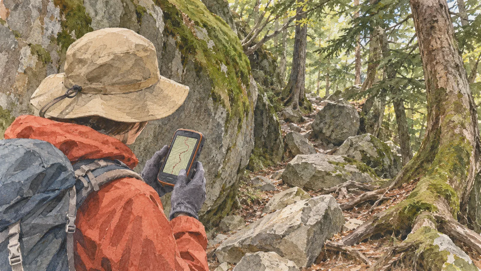
The track in a trip report connects locations estimated by a device. Where you suspect substantial error, explain why and tell readers to treat that section as a rough reference. The public sources we reviewed as of October 28, 2026, describe conditions that affect accuracy and define the figures they use. They do not give a measured error for your hike. We suggest describing the conditions and how to use the track, without assigning a numerical error to the section.
The track is an estimate, distinct from government signal specifications
GPS.gov explains that accuracy at a receiver depends on satellite geometry, signal obstruction, atmospheric conditions, and receiver design and quality. It says that GPS-enabled smartphones are typically accurate within a radius of 4.9 m under open sky, with worse accuracy near buildings, bridges and trees. The 4.9 m figure describes open sky. It does not describe forests or valleys. The page was last updated in March 2022, and the archived site notes that it has not been updated since February 2025.
Check what the figure describes. The U.S. government’s commitment concerns the accuracy of the signals satellites transmit. GPS.gov distinguishes it from user accuracy, which describes how far the device’s estimated position can be from the actual one. Quoting a government signal standard as “GPS accuracy” in a trip report can lead readers to expect less error than they encounter on the ground.
GPS.gov also notes that mapping software can make positions appear wrong even when the receiver is working properly. If your track appears off the trail, the issue could be in the location data or in the map. For your report, describe what you can see: “The track and the mapped trail don’t appear to line up.”
Use observed conditions without borrowing error figures
GPS.gov lists satellite signal obstruction by buildings, bridges and trees, indoor or underground use, and reflected signals from walls and other surfaces, known as multipath, as common causes of reduced accuracy. Japan’s Geospatial Information Authority also gives built-up streets and mountainous areas as examples of limited sky visibility in its multi-GNSS surveying manual commentary. The test discussed there was a survey in an urban area. It does not measure error on a hiker’s phone in the mountains.
Start with the conditions that affect how much sky the receiver can see. Our editors are applying the factors in the sources to common hiking environments. The track alone cannot show whether you actually had a large error there. Trees may obstruct the signal in a forest. Slopes and rock faces can limit sky visibility or reflect signals. A hut can affect reception indoors or nearby. Describe each as a possibility in your note.
Japan’s Geospatial Information Authority gives roughly 10 m of error for standalone positioning, which uses a single receiver and ranges to four or more satellites. This is a general description of a method used in applications such as marine and vehicle navigation. It does not come from a test of a hiking app or smartphone. Leave “about 10 m of error” out of a note when this is your only basis for it.
Four details to include in a note about a section
We suggest writing four things so readers can decide how to use the track. First, identify where the section starts and ends, for example at a junction or landmark shown in a photo. Second, say what may have contributed to error, such as limited sky visibility under trees. Third, describe what you saw, such as a track that appears off the path or a line that does not match the map. Fourth, explain how to use it. Tell readers to treat the line on this section as a rough reference and avoid using it to choose their way.
For example: “Forest section. The track appears off the mapped trail. The sky may have been partly blocked, but I couldn’t tell whether it was a positioning error or a mismatch in the map. Use the line here as a rough reference.” This describes what was observed and how to handle it while leaving the cause open.
Take care when quoting an app’s accuracy figure. Android’s Location.getAccuracy() gives an estimated horizontal accuracy radius in metres at the 68th percentile confidence level. In its terms, there is a 68% chance that your actual position lies inside that radius of the reported position. It does not apply vertically, and there is roughly a 30% chance that the actual position lies outside the circle. This defines a value returned by an API. An app may use a different definition for the circle or number on screen. Write “the app displayed this value” and name the app, rather than saying you were inside the circle.
If you take a brief note in the field, stop first where the footing is stable and others can pass. If there is no suitable spot, wait. You can identify the section back home by comparing the track, map and photo timestamps. Label details recalled from memory so readers can judge the evidence.
Help readers use a shared track appropriately
Someone may copy a published track as a route they can walk. Place the note where the affected section is described so readers see it at the point of use. A note at the end of the report can be easy to miss.
State what you saw yourself, such as a sign, junction or stream crossing, separately from the device’s estimate. This helps readers decide what to rely on if the two disagree. Avoid introducing an unreliable section with “follow this line and you’ll get there.” When visibility is poor and people cannot confirm their position, leave room to stop short. If they know a safe way back, they can retrace their steps to a point they can identify.
Summary: Explain the conditions and how to use the track for each section
A GPS track shows estimated positions. The signal accuracy promised by the government and discrepancies in the map are separate issues. Use factors such as obstruction and multipath to explain why you suspect a large error. Describe what you saw and how to treat that section. For any accuracy circle or figure, include its definition and the app’s name and report it as an on-screen reading. The sources we reviewed contain no measured error for the section, so avoid a claim like “about X metres” and mark it as a rough reference. Try it on one section after your next hike.