
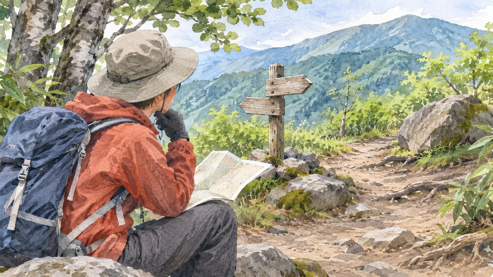
When the map’s trail and your location marker disagree, resist walking around to make the dot line up with the trail. Stop in a place where you can safely stay and check your position. Being able to return safely to a known point is different from being unsure of the way back. Using guidance from police and mountaineering organizations checked as of October 29, 2026, this article sets out what to check on the ground. How far the dot is off cannot tell you which direction is safe or how far you can go.
Stop moving about before trying to resolve the discrepancy
Fukushima Prefectural Police warns against continuing in the hope that the way will become clear. Its guidance is to return to a point you recognize while you still can. It also makes checking your position a priority and warns that wandering can exhaust you and lead you into dangerous terrain. Whether retracing your steps makes sense depends on whether you know the way back at that moment.
Mountaineering Scotland also advises stopping to assess the situation and gather information instead of changing direction repeatedly. If the dot appears away from the trail line, start by resisting the urge to head toward a slope or stream gully to bring the two together.
Check your footing and the hazards around you, then consult the map somewhere you can safely stay. If you are on a narrow, busy trail or an unstable slope, deal with your immediate surroundings first. Work out what the screen shows once you can safely stay put. This is the order we suggest. Choose the stopping point with care.
Once you have stopped, work from your last known position
Mountaineering Scotland suggests thinking back to how long you have walked since you last knew your position and what distinctive terrain you have passed. Compare observations such as two streams joining, the way the ground slopes or a bend along a ridge with the map. GPS is another clue, but the organization advises caution near cliffs, in deep valleys and at forest edges, where reception can be poor.
We suggest three questions. Where did I last confirm my position? What did I actually see along the way? Which features can I check against the map now? If you read a sign, recall the name it gave. If you passed a junction, recall which way you went. Do not fill gaps in your memory with streams or junctions simply because they appear on the screen.
If you have companions, ask what each of them observed. Mountaineering Scotland notes that someone else may have noticed a feature you missed. Gather observations of identifiable landmarks so you know who saw what. A majority opinion, a single sign or similar-looking terrain alone cannot resolve your position. Keep confirmed information separate from guesses.
An accuracy circle on the screen does not establish an area where you can move safely. Find out what the app’s display means before the hike. If you are unsure where you are, avoid testing possible routes within the circle. Even if the dot lines up with the map, cross-check that you are on the right path.
The mapped trail can differ too. Establish where you are first.
On March 7, 2018, Japan’s Geospatial Information Authority announced that it had updated its topographic maps using hikers’ recorded routes and other data. It revised major trails in Kamikōchi and the Yatsugatake area where recorded routes and mapped trails differed substantially. The change allowed the maps to show rerouted sections that had previously been missing.
This is a past example of how mapped trails can differ from those on the ground. It does not establish that your app’s map is wrong or that the same discrepancy remains in the area today. A dot off the trail cannot tell you that GPS is at fault, and a worn track nearby is no proof that the map is outdated.
Focus on confirming your position and identifying safe options. If the map and the surroundings disagree and you cannot establish where you are, a number alone cannot settle which information to follow. A general GNSS error figure cannot tell you how close two paths or junctions can be before you can no longer tell them apart.
Check whether you can return safely and seek help early if you cannot get your bearings
If you know your last confirmed position and can identify a safe route back, follow the Fukushima Prefectural Police guidance to retrace your steps while you still can. If the way back is unknown or moving in either direction has become dangerous, reassess before moving. Gifu Prefectural Police advises people who cannot get back to the trail to wait and conserve their energy in a safe place with little risk of falling or rockfall.
Gifu police explains that following a stream downhill after getting lost can lead to waterfalls or steep ground, where it is easier to slip or fall. Do not assume the stream will lead you back to a trail. Avoid moving onto an unfamiliar slope just to get a view or a signal.
If you need rescue, call without waiting to learn what caused the discrepancy. Gifu Prefectural Police advises calling Japan’s 110 (police) or 119 (fire and ambulance) from a safe place. Once connected, stay where you are and answer the dispatcher’s questions. Search and rescue may be suspended after dark.
Give specific place names and landmarks, where you started that day, where you were headed, the app you are using and any coordinates it shows. Distinguish what you know from what you cannot confirm. Gifu police explains that a 110 call may give your approximate location without pinpointing you. Answer the dispatcher’s questions with any details that can narrow the search.
Summary: Check known points and safe options when the dot and trail disagree
If your position marker and the trail disagree, stop safely and compare your last known position, features you passed and what you see now. Avoid choosing a path based on a general error figure. Determine whether you know a safe way back. If you cannot establish your position or move safely, avoid wandering to investigate and consider calling for rescue early.
References and sources
- Fukushima Prefectural Police, “Handling trouble in the mountains” — checking your position, retracing your steps and requesting rescue
- Gifu Prefectural Police, “What to do in a mountain emergency” — calling and waiting safely and sharing your location
- Geospatial Information Authority of Japan, “First release of topographic maps with trails updated using big data” — the 2018 revisions
- Mountaineering Scotland, “When navigation goes wrong” — stopping and gathering clues to establish your position