
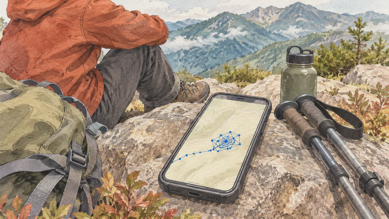
When the distance rises during a break, distinguish the distance you actually walked from the distance calculated from recorded positions. If GPS points drift and the distances between them are added, the total can increase while you stay still. Which points count depends on how the device and app process them. Official guidance from Strava and MapMyFitness illustrates how to review a break. Other hiking apps can calculate distance differently.
The total distance can grow even if the track returns to its starting point
Strava describes GPS distance as linking recorded points and calculating the distance between coordinates. It gives an example of a zigzagging track that overstates distance when each segment is joined by a straight line. If those segments count towards the total, the final point can return to the start without cancelling the distance accumulated in between.
Imagine someone sitting in one place while their recorded positions move sideways from 0 m to 3 m and back to 0 m. If the system adds the distances between those three points, the total is 3 m plus 3 m, or 6 m. The first and last points are 0 m apart. This is an example on a small, flat area, without recorded measurements or a test of a particular app.
The 3 m figure represents neither a typical GPS error nor an amount of drift you can ignore. It also gives no estimate of how much distance will be added during a given break. It illustrates that accumulated distance between points and the change in position between two moments are different quantities. Check which one you are looking at before interpreting the number.
Separate the visible track, the device reading and the distance after upload
Strava's guidance distinguishes the total calculated from GPS while recording and the distance calculated from coordinates after upload. If an uploaded file has no distance data, Strava says it calculates the length from GPS coordinates. The number on a watch and the one you see later on the service can come from different stages.
Our editorial team suggests noting when the break began and ended, which device or app you checked, and whether you saw the distance during recording or after upload. If the map shows points or lines clustered around the rest stop, see whether they match that time window. This note helps identify the affected section. The trace alone cannot establish what caused it.
A track that looks jagged at home does not prove your device added each segment as drawn. A smooth line also does not rule out an increase during recording. Check whether the service used the distance in the original file or recalculated it from coordinates, and make sure you are comparing the same break.
Smoothing and recalculation can improve a trace without recovering the exact distance
Strava says it smooths uploaded data by removing outlying GPS points. If the device did not record distance data, it adds the distances between GPS points and removes outliers in that calculation too. It may also detect poor data and recalculate distance. The result can differ from the number recorded by the device.
Strava also says that very poor data can make a realistic distance estimate impossible. A shorter processed distance is still an estimate. Record the processing used and the section you reviewed. This exercise checks the log without automatically repairing it or replacing the device's distance.
A single log can contain drifting points during a break as well as gaps while you were walking. The difference in total distance alone cannot identify one cause. Strava explains that drift and jumps can make a distance longer or shorter than the distance actually travelled. Evaluate the apparent increase during a break separately from the accuracy of the trip total.
Auto-pause depends on the app and activity
Check which activities can use auto-pause and how it detects when you stop. Strava says cycling uses GPS while running uses the phone's accelerometer. Poor GPS accuracy can prevent the feature from detecting a stop. Choosing “automatic” does not ensure the app will detect your break.
In its September 8, 2026 guide, Strava recommends disabling auto-pause when recording walks and hikes. Slow movement can trigger frequent pauses and make recording fail to resume. With auto-pause off, the app calculates moving and stopped time on upload. That guidance concerns time and does not promise a correction to the distance added while you rest.
MapMyFitness's guide, updated December 3, 2025, says auto-pause stops the recording of time and distance. It also says the option has been removed for activities including walking and hiking because they are incompatible with it. Settings for running may work differently for a slow hike. Check the guidance for your app and the activity you plan to record.
If you pause manually, check how your device indicates that recording has paused and resumed. Add any action to your notes alongside the break times, and verify that the recording actually resumed. Choose the settings based on what you want to record and what the feature supports, as well as whether distance increases while stopped.
Record the break and the stage at which distance was calculated
To review an increase during a break, keep the break times, device or app, activity type, any pause action and the point at which you read the distance together. If points drifted, check official guidance for which points count and how corrections work before treating all of the extra distance as walking.
Adding point-to-point distances explains how drift can increase a total while you stay still. The actual result also depends on the service's smoothing and pause processing. Note any unexpected increase in your trip log. Check your position and remaining distance using more than the distance counter.
References and sources
- Strava Help Center, How Distance is Calculated, accumulated distance during recording and calculation after upload
- Strava Help Center, Why is my Activity's Distance Different Than my Friend's?, point-to-point distance and smoothing
- Strava Help Center, How do I fix Autopause Issues?, detection by activity and advice for hikers
- MapMyFitness, Auto-Pause, pausing time and distance and unsupported activities