
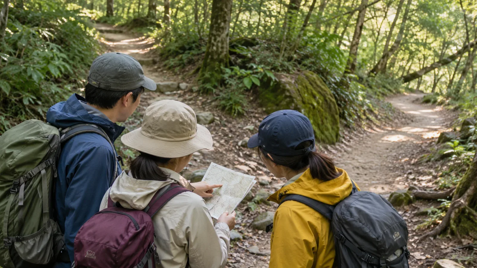
Enjoy the conversation on a group hike, and pause it at junctions to check where you are and which way to go. Agree on a signal and places to check before you set out. This is a practical way for a group to follow the National Police Agency of Japan's advice to check its position. The incident figures do not establish a link between chatting and getting lost. Check the route and footing whenever someone has a concern, even away from the points you chose.
What the incident statistics can tell you
In the National Police Agency's 2024 report, 2,946 mountain incidents involved 3,357 people. These are different units. The 30.4% who got lost is a share of the 3,357 people. The report also includes incidents involving people collecting wild plants or mushrooms or sightseeing. The figures cannot tell you how many hikers out of the whole hiking population get lost.
The report does not record whether people were chatting. It cannot quantify the risk of conversation or the effect of assigning someone to check the route. Use the agency's prevention guidance. Even on the usual trail, check the map and the signs, and be prepared to stop if something seems out of place.
Getting lost is a serious concern. This report does not tell us whether the people involved knew the trail, were talking or were at a junction. The National Police Agency recommends carrying a map and compass and checking your position throughout the hike. It suggests using a hiking map app together with a paper map. If you cannot establish the route, stop rather than moving on blindly, and be ready to end the hike. Retrace your steps only if the return is clear and safe.
What to check when you pause the conversation
Check which junction you are at and which path to take. Even after the person at the front turns, the others can confirm the map and destination. A guide writing for YAMAP MAGAZINE gives examples of missing an arrow or continuing on an easier forest road. Pausing the conversation gives everyone a chance to compare the clues.
Plan some places to check so that it does not depend on someone noticing a problem. Stop elsewhere too if the trail surface or terrain differs from what you expect, a sign is missing, or the way is closed. Compare the information you have on the spot as a group.
Choose where to pause and who will check before departure
At home, open a paper map and list the junctions, places where trails merge, and major changes in direction in the order you will reach them. Before each point, use the map and your recollection to suggest a place with stable footing that leaves room for others to pass. Write “unknown” if you cannot identify one. Check whether you can use it when you reach it. If you cannot see anywhere to stop, tell your companions and consider skipping that section or turning back.
Agree on three things. First, choose a phrase anyone can say to pause the conversation as you approach a check point. Second, split the check between two people. One reads out the current position and next point from the map. The other reads the destination from the sign. Compare the two sources and switch roles during the hike if you like. Third, agree that anyone can interrupt the conversation away from a junction if the route or footing needs checking. Adapt the roles to the size and skills of the group, and invite everyone to share what they notice.
The National Police Agency recommends allowing spare time, identifying hazards and escape routes, and sharing a trip plan. The summer 2019 notice also asks everyone in the group to review the plan. Add your notes on where to stop so your companions know the route. Give family or another contact at home the destination, planned return time and how to contact you.
Rehearse on paper, then check from a safe stopping place
Practise with your companions at a table before you go. Turn the map over and take turns saying which way you will go at the next junction and what you expect to see. Then compare the answers with the map. If you disagree, check for differences in memory, a misread map or out-of-date information. The editorial exercise can help you decide which notes need the most attention. Its effectiveness has not been established.
If you plan to use a phone map, download the area you need beforehand. YAMAP, for example, says its downloaded maps are available offline. Follow the app's instructions and practise opening your map without a connection. A successful test at home does not guarantee accuracy or reliable operation in the mountains. Bring a paper map and compass in case of the signal and battery limits the National Police Agency describes.
Check your footing and surroundings, then stop before looking at the map or screen. Say aloud how the sign and the map fit with the way you came. If they disagree, stop and establish where you are. Go back if you can retrace the route safely and with certainty. If the return route is unclear, avoid wandering around trying to find it. If you cannot get back on your own, call for rescue early. Avoid moving to a dangerous place to make a check. If you fall behind schedule, consider shortening or ending the hike.
Plan where to pause the conversation before you walk
You can plan junction checks before you set off, even on a hike with plenty of conversation. The figures show that getting lost is a common type of incident. They do not show a link with conversation. The steps above are an editorial proposal. Before the next hike, number the junctions and places where trails merge, write down where you might stop, and agree on a signal and two people to check. Agree as a group to stop when the clues do not match, establish your position and confirm a safe way back.
References and sources
- National Police Agency of Japan — Overview of mountain incidents in 2024
- YAMAP MAGAZINE, Daisuke Washio — Skills and habits for avoiding getting lost
- Central Council for Mountain Accident Prevention — Summer mountain safety notice and gear checklist (July 2019)
- YAMAP — A simpler flow in the redesigned app (updated August 17, 2026)