
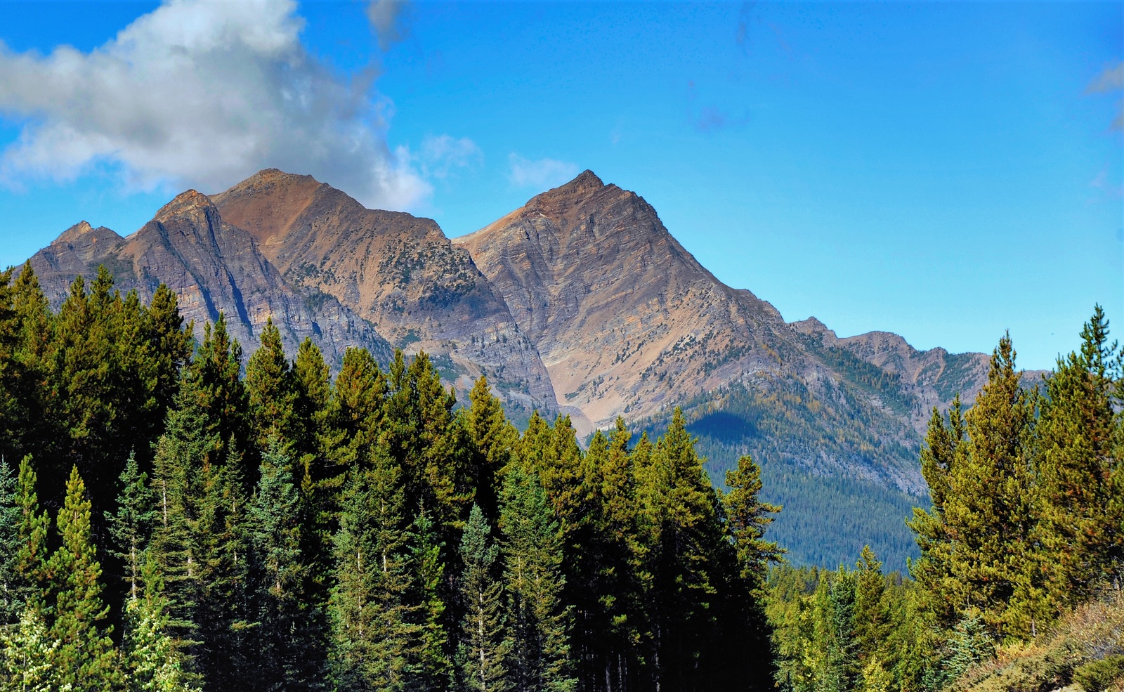
A Name from the Stoney Nakoda Language
The Palliser Expedition’s 1859 map used the spelling Waputtehk for the surrounding mountains. British Columbia’s geographical names authority credits geologist George Mercer Dawson with recording the Waputik form in 1884. The name is Stoney Nakoda and means “white goat.” Parks Canada records mountain goats in Banff’s steep and rugged terrain.
The Peak, Range and Icefield
Canada’s geographical names database records 31 March 1924 as the date of the official decision for Waputik Peak. The same name also appears on the Waputik Range and, farther northwest, on the Waputik Icefield. In 1907, the Canadian Alpine Journal recorded that maps of the time used “Waputik Snowfield” for the ice supplying the Yoho Glacier.
The Walls of the Bow Valley
The Geological Survey of Canada describes Cambrian limestone forming much of the Waputik Range’s pale upper cliffs. Some lower, forested slopes expose older sedimentary rock. Ice once flowed along the Bow River valley, cutting back rocky spurs and widening the valley floor. The steep valley walls and broad cross-section record the work of that ice.