
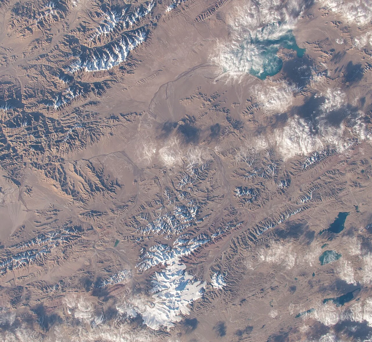
Littledale's Survey and the Name
St George Littledale surveyed Ulugh Muztagh in 1895, placing the summit above 25,000 feet and leaving precise figures unsettled for decades. Robert Bates records that the name translates as "Great Ice Mountain" in an older Turkic spelling. Field geologists with the 1985 expedition identified intrusive rocks within the massif.
The 1985 Summit Day
On 21 October 1985, Hu Fengling, Zhang Baohua, Ardaxi, Mamuti, and Wu Qiangxing reached the summit during the joint Chinese–American expedition. On the descent, Chinese and American team members together evacuated injured climbers; the American party abandoned their own summit attempt to assist in the rescue.
Instruments and Historical Cartography
The 1985 field report derived 6987 metres ±10 metres using Doppler and theodolite instruments, extending a measurement record that Littledale's 1895 survey had opened at above 25,000 feet. A later memoir by an expedition participant records a differing figure; both values arise from the same 1985 effort, and the discrepancy remains part of the documented record.