
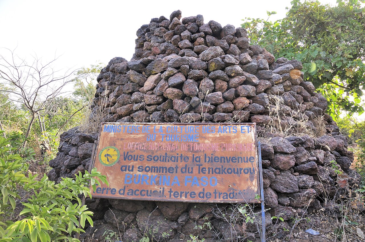
Sandstone Terrain of the Southwest
The broader southwestern region encompasses mountains, sedimentary plateaux, and plains shaped over geological time by differential erosion acting on layered rock. A World Bank water-resources survey identifies sandstone as the dominant formation across the highest sector of this terrain, contributing to the rugged surface character visible across the wider landscape.
Plateaux and Seasonal River Valleys
A Burkina Faso Ministry of Agriculture study of the Tannounyan zone documents the regional relief pattern in detail, noting interior plateaux averaging around 450 metres and lower plains crossed by seasonal rivers. The nearby Banfora escarpment, marked by long sandstone cliffs, forms a prominent feature of this same southwestern corridor and provides useful geographic orientation.
Administrative Setting and Regional Geography
Ténakourou falls within Ouéléni department, Léraba Province, a placement confirmed by Burkina Faso government geographic profiles. GeoNames records the summit under the entry Téna Kourou, reflecting one of several regional name forms in use. The site is taught as a geographic reference point in national educational materials, underscoring its standing as a recognized landmark of the country's physical geography.