
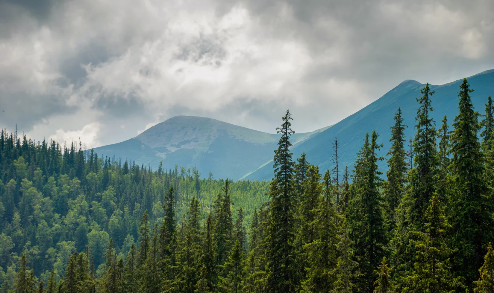
Terrain and Summits
The ridge carries two named high points: Velyka Syvula at 1,836 m, identified by Synyohora National Nature Park as the highest peak in the Gorgany, and Mala Syvula at 1,818 m, situated southeast along the same crest. The underlying geology is grey coarse-layered sandstone, and the exposed upper slopes are covered by broad spreads of angular, loosely stacked rock fragments known regionally as grehoty. Spruce forest covers the lower flanks, giving way to low mountain pine near the summits, so the transition from closed canopy to open rock field is visible across a relatively short vertical distance.
Names on Historical Maps
Geographer Wojciech Włoskowicz, writing for the Polish Academy of Sciences, examined the ridge's cartographic record and found that the Habsburg Third Military Survey used the label Sewula for the ridge, while some early-twentieth-century editions of the Austrian special map applied the variant Siwula only to the smaller summit. The 1935 Polish Military Geographical Institute sheet Porohy (P54 S38) explicitly labeled both summits with qualifiers corresponding to Great and Little. Włoskowicz connects the shared root to Ukrainian syvyi, meaning grey, and to the pale tone of the rock fields that characterize the ridge's exposed upper terrain.
Łomnicki's Expeditions and Scientific Baseline
The State Museum of Natural History in Lviv records two fieldwork expeditions by naturalist Marian Łomnicki in 1877 and 1878, conducted along the Solotvyn–Porohy–Huta route across the Syvula and Ihrovets ridges. His 1880 publication documented fifteen longhorn beetle species from the area that now falls within the national park, a catalogue that modern researchers at the museum have drawn on as a historical baseline in a 2024 study.
Pasture, Border Ruins, and the Park Trail
Synyohora National Nature Park documents an ecological walking trail that runs from Stara Huta via the Rushchyna mountain pasture, identifying this area as the source zone of the Bystrytsia. At the foot of Syvula, the park describes the ruins of a guardhouse from the former border between Poland and Czechoslovakia. The park trail passes the remains below the summit.