
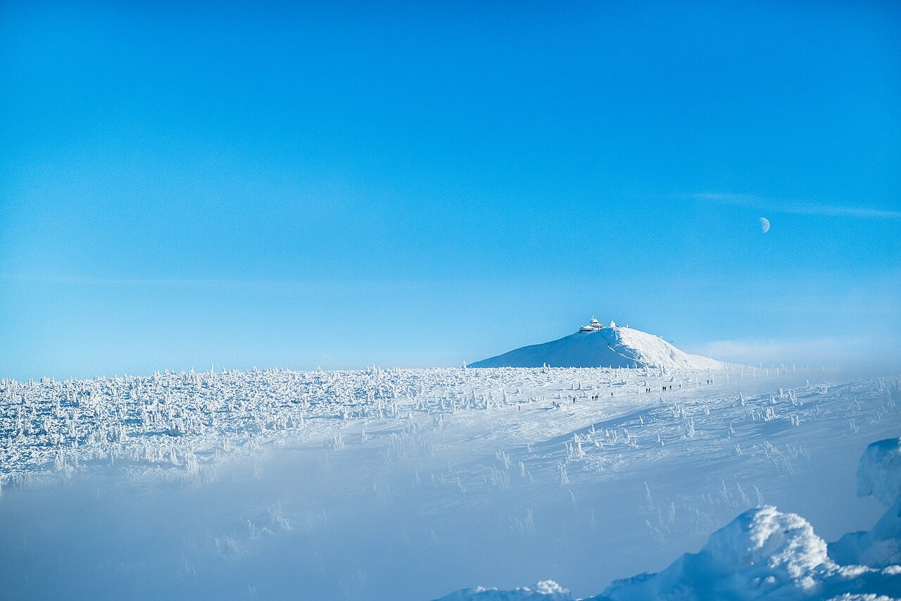
A Precisely Surveyed Summit
A 2014 national survey measured the natural maximum at 1,603.296 m on the Polish side, a few metres from the boundary, with the highest point on the Czech border about a decimetre lower. Both values round to 1,603 m. An older mapped figure of 1,602 m derived from rounding at a lower triangulation point placed for connections to other survey stations.
Hornfels and the Summit Profile
The geological atlas of Karkonosze National Park describes hornfels above roughly the lower third of the slope from Równia pod Śnieżką, with porphyritic granite at the foot. The hornfels formed when rocks adjacent to the granite intrusion were heated and altered, producing harder material. Differential erosion of the resulting rock types has contributed to preserving the mountain's elevated profile.
Chapel and Observatory
Saint Lawrence's Chapel, a small round building with a square entry, was constructed on the summit between 1665 and 1681. The Polish Institute of Meteorology and Water Management dates the continuous summit measurement series to 1880. The modern high-mountain observatory, recognizable for its three disc-shaped sections, was completed in 1974.