
The name, the rock, the territory
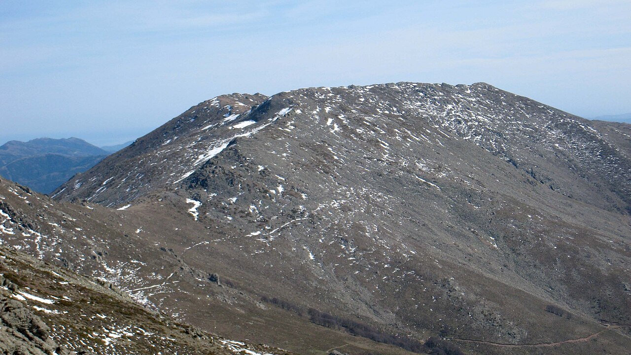
The Sardinian place name Perdas Carpìas — which may be glossed as "split stones" — precisely describes the schistose character of the dominant rock in the Gennargentu. The massif is built predominantly on schists, with granitic intrusions, and it is from this substrate that the jagged and rugged morphology of the summit derives. The Flumendosa, one of Sardinia's principal rivers, rises from these uplands and flows toward southern Sardinia.
The summit occupies a boundary position between two distinct geographical and cultural realities: Ogliastra, a coastal and mountain territory facing the eastern Tyrrhenian, and Barbagia, the Nuorese hinterland of which Desulo is one of the historically most distinctive centres. From the highest point on the island, sources describe panoramas encompassing both sub-regions.
Alberto Ferrero della Marmora and the exploratory tradition
The summit bears the name of Alberto Ferrero della Marmora for good reason: the Savoyard officer devoted decades to the systematic study of Sardinia, producing works — the Voyage en Sardaigne and the Itinéraire — that for a long time constituted the fundamental cartographic and naturalistic reference for knowledge of the island. The naming of the highest peak after him is therefore a recognition of the tradition of fieldwork that made it possible to map and describe the Gennargentu.
The dual naming — Punta La Marmora in Italian, Perdas Carpìas in Sardinian — reflects the layering of languages and cultures that characterises the toponymy of this part of the island. The two names are not mutually exclusive: they coexist in local memory and in official documentation, each carrying a different system of meaning for designating the same summit.
The Gennargentu massif as a hydrographic and orographic system
The Gennargentu is not an isolated peak but a great schistose orographic system that structures the hydrography of a large part of central-southern Sardinia. The Flumendosa, which rises from these uplands, is emblematic of the massif's role as a watershed and natural water reservoir for the territories downstream. The granitic intrusions documented in the technical literature contribute to the lithological variety of the complex.
Punta La Marmora emerges from this system as its culminating point, but its geographical understanding is inseparable from the context of the Gennargentu as a whole: a massif that determines local climate, vegetation, hydrography and, ultimately, the forms of human settlement in the municipalities that orbit it, from Arzana to Desulo and the other Ogliastra and Barbagia centres.